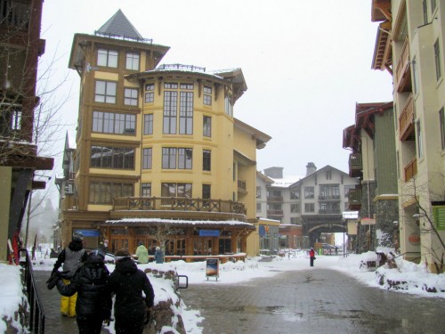
Thursday — Squaw Valley
Paid: $60 (bought someone’s voucher off Craig’s List a month in advance)
Quality of Random Lift Strangers: 6/10
Weather: OVERCAST with light snowfall throughout.
Would Return?: Maybe
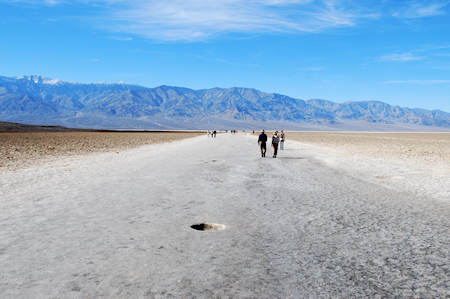
This was the big powder day of the week with it having snowed all day Wednesday. I heard from one random lift stranger that she’d had an even better time of it on Wednesday, in spite of the high winds and closure of the upper mountain, since there was plenty of untracked available and not many hardy souls there with whom to share it. On Thursday: plenty of souls. Traffic was bumper-to-bumper from I-80 to the parking lot. The gondola line (funitel line, whatever) was long in the morning and Shirley Lake and Granite Chief queues were no-doubt aggravating to the non-single. Visibility was very difficult and I ended up spending a lot of time on Shirley Lake where at least I could see while trying to figure out how to ski powder (only partially successful in both endeavors).
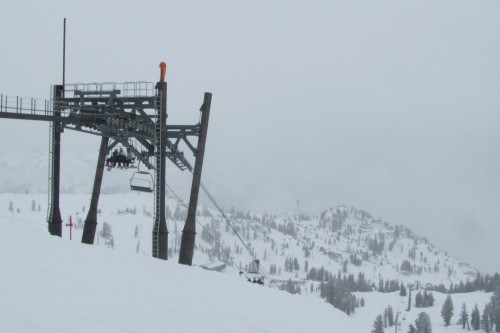
Top of the Siberia Express lift looking (I imagine) not entirely unlike Siberia.

I like that the ski patrol is going after the guy before he’s even fallen (or started downhill or gotten to the top).
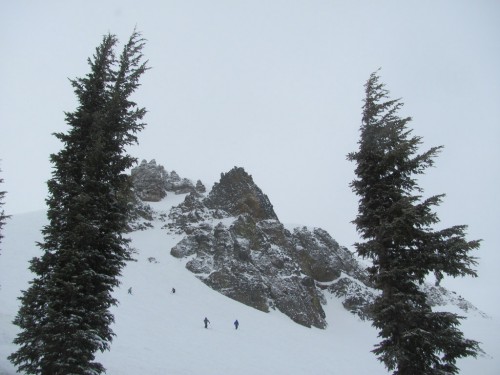
Rocks, trees.
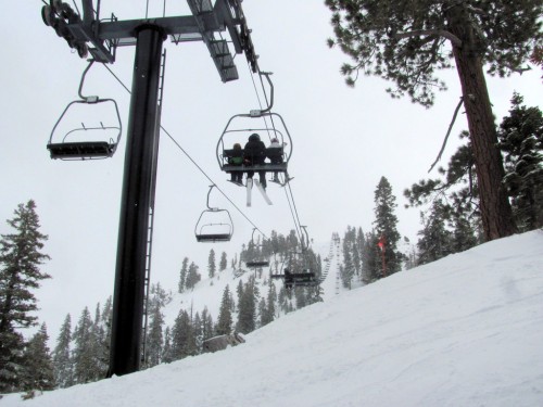
- Siberia Express had no line. Also no visibility on the top section. It’s worse than it looks here:
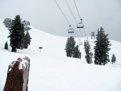
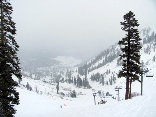
- The shear number of chairlifts at this place is incredible. They seemed to start and end everywhere; around every corner was another chairlift (or two). For instance there are five lifts in the photo below (can you find them all??):

- The rock outcroppings were cool. With those and the relative absence of trees on the upper mountain, I figured this must be what skiing in Europe is like.
- Had lunch at Fireside Pizza down in the village on the hunch that ski resort food follows the same pricing principles as does dining at Disneyland. At least in this case it did – paid $18 (incl. tip) for a very good pizza and 32-oz. (!) soda in a glass (!!) rather than spending $15 for faster, price gougey-er, and inferior cafeteria-style fare. Would recommend. (Next time you’re at Disneyland, try the same strategy – you’ll see.)
- As a service to fellow acrophobes, I’ll note that the Red Dog lift is the most fear-inducing lift I’ve ever ridden. There are a couple of long, *very high* gaps on that one and the relatively slow speed of the lift means that the shear terror wasn’t just fleeting.
- Had been worried about needing chains for the drive up. Didn’t need them, despite Nevada DOT’s website stating that there was a chain check station on the 80 east of Truckee (the agriculture inspection station apparently had confused them).
Especially in the morning, the whole place had a sort of hyper-focused, manic air to it. I’m assuming it was all the expert-skiing locals who were super-determined to find the remaining stashes. No one was rude or anything, just – it wasn’t much of a kick back-and-enjoy vibe going on.
I talked to a lot of more-experienced skiers the following day at Diamond Peak and had a couple of them offer up criticisms of Squaw based on weather issues and lay-out. I can see why expert skiers would love the place, especially on a powder day, but I sympathized with the criticisms. For me, I wanted there to be more trees to ski around and to help with visibility. I also wanted there to be something groomed somewhere so I could take a few relaxed runs once I got tired of feeling like half an idiot on the by-midday chopped-up powder on the blue squares. It’s not like I didn’t have fun – I had a great time at Squaw. I think I just expected it to be some sort of transcendent mega-experience and instead it felt somewhat compromised. Maybe I did it wrong. Maybe it was the cloud-induced seasonal affective.
Here’s another photo:
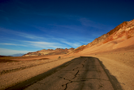
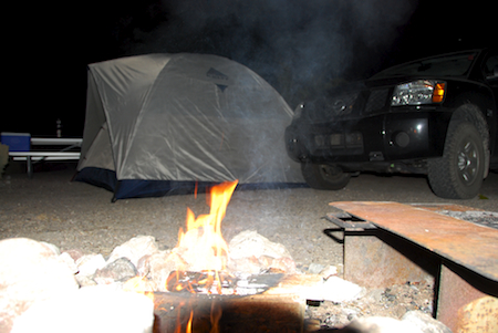
The way back home.
bkd


") …Which cuts through the coastal hills down to the coast.
…Which cuts through the coastal hills down to the coast.")