Tag : 6stateroadtrip

post image
post image

My 6-State Road Trip: Road Photos

Day 1: Norman, Okla. to Gallup, N.M.

Screen Shot 2016-08-05 at 11.45.00 AM

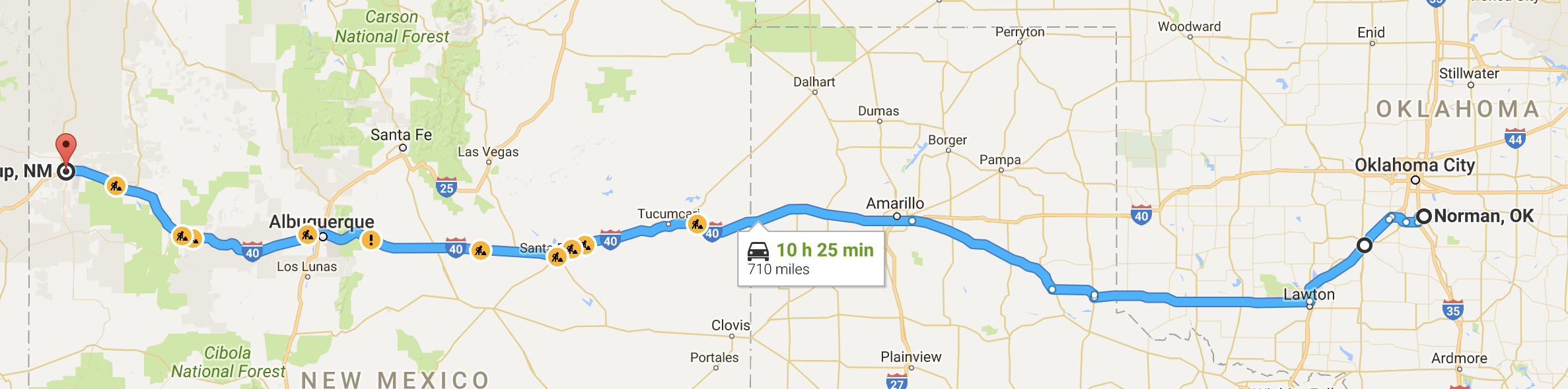
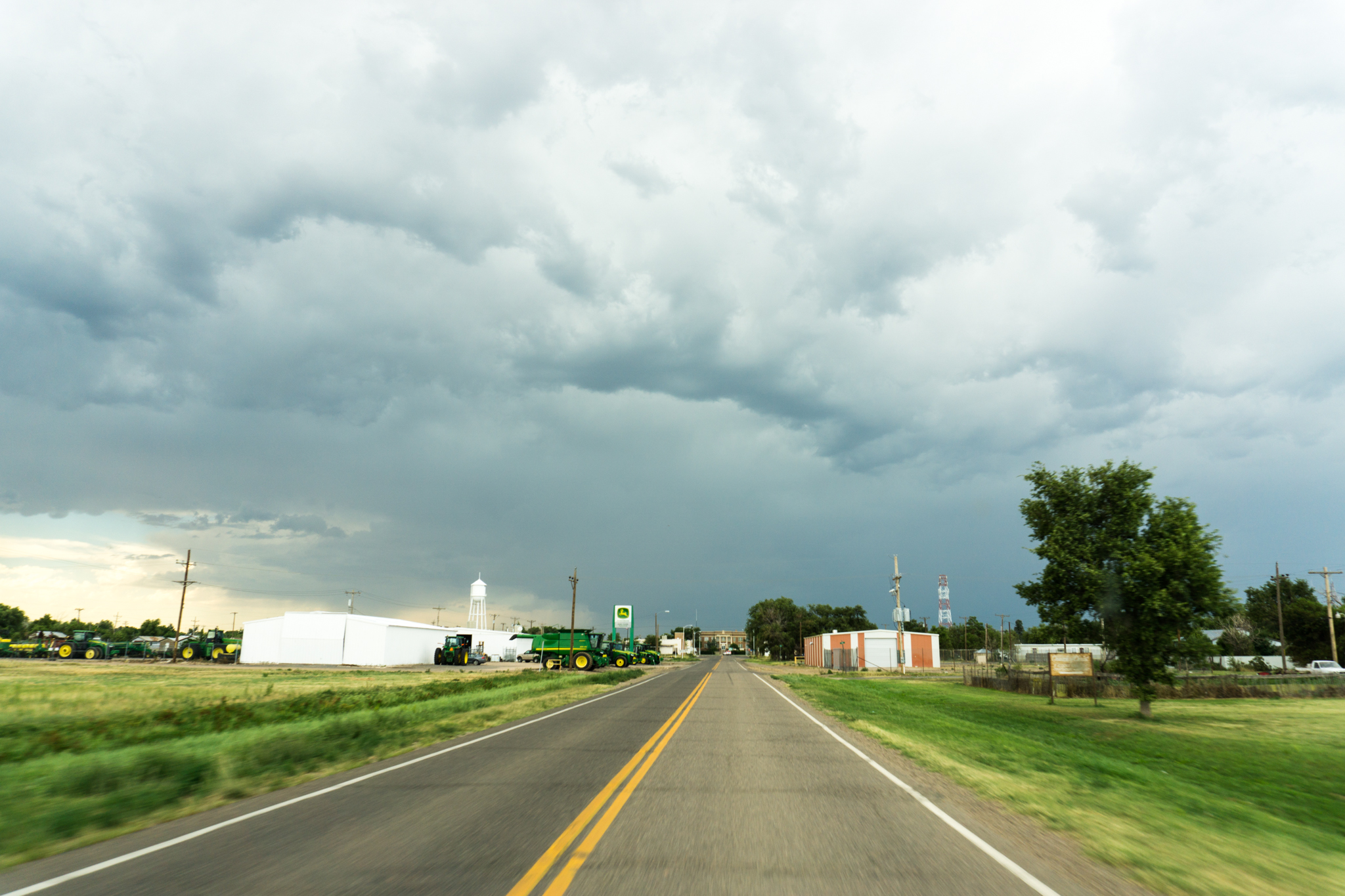
I can attest to the factualness of the number of construction zones. Breakfast: cold pizza on the road, lunch: Rudy’s Barbecue in Amarillo, dinner: Panda Express in Gallup. Lodging: EconoLodge. Much luxury. Gas mileage was very poor — around 16. Rudy’s’s reliability notwithstanding, least interesting day of the drive (by a pretty fair margin).
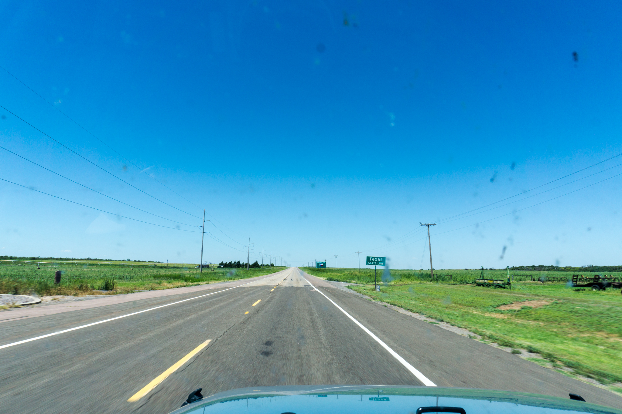
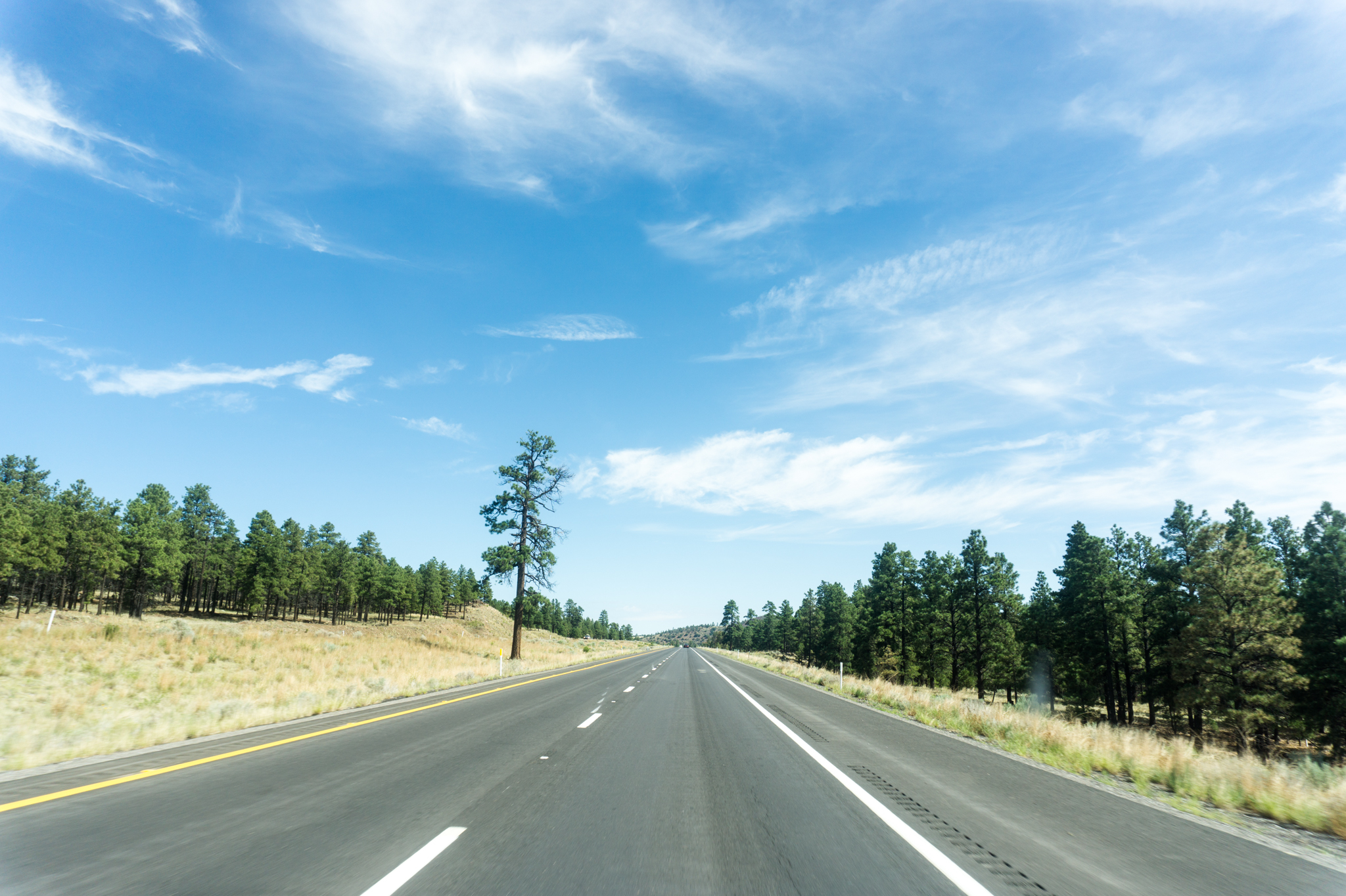
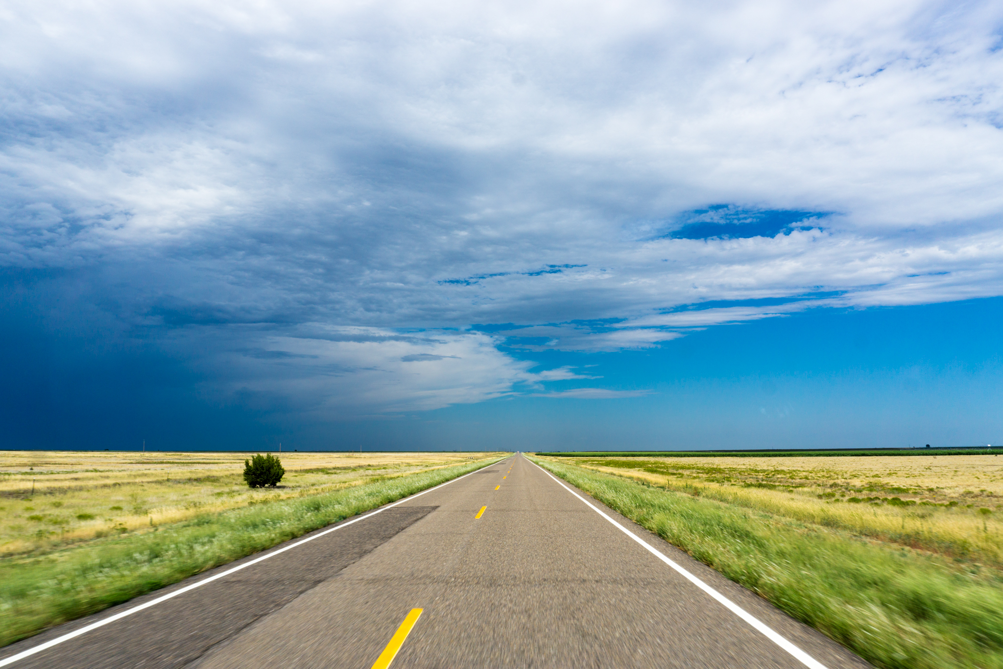
Entering Texas:
DSC02226
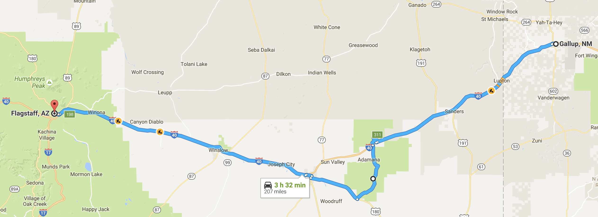
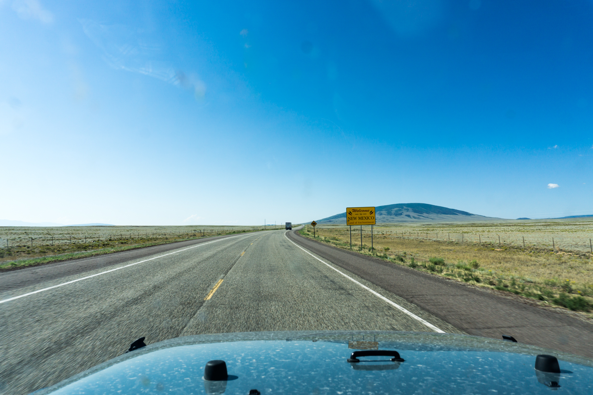
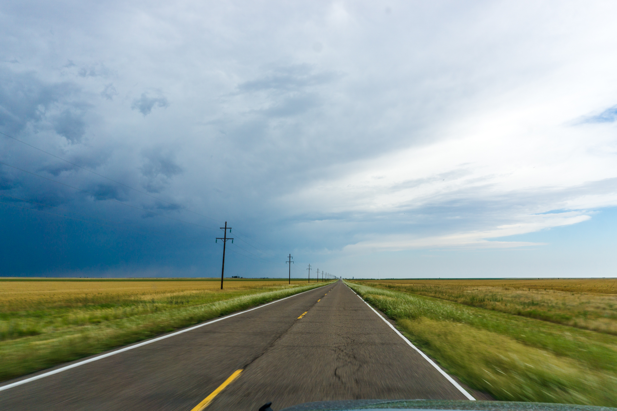
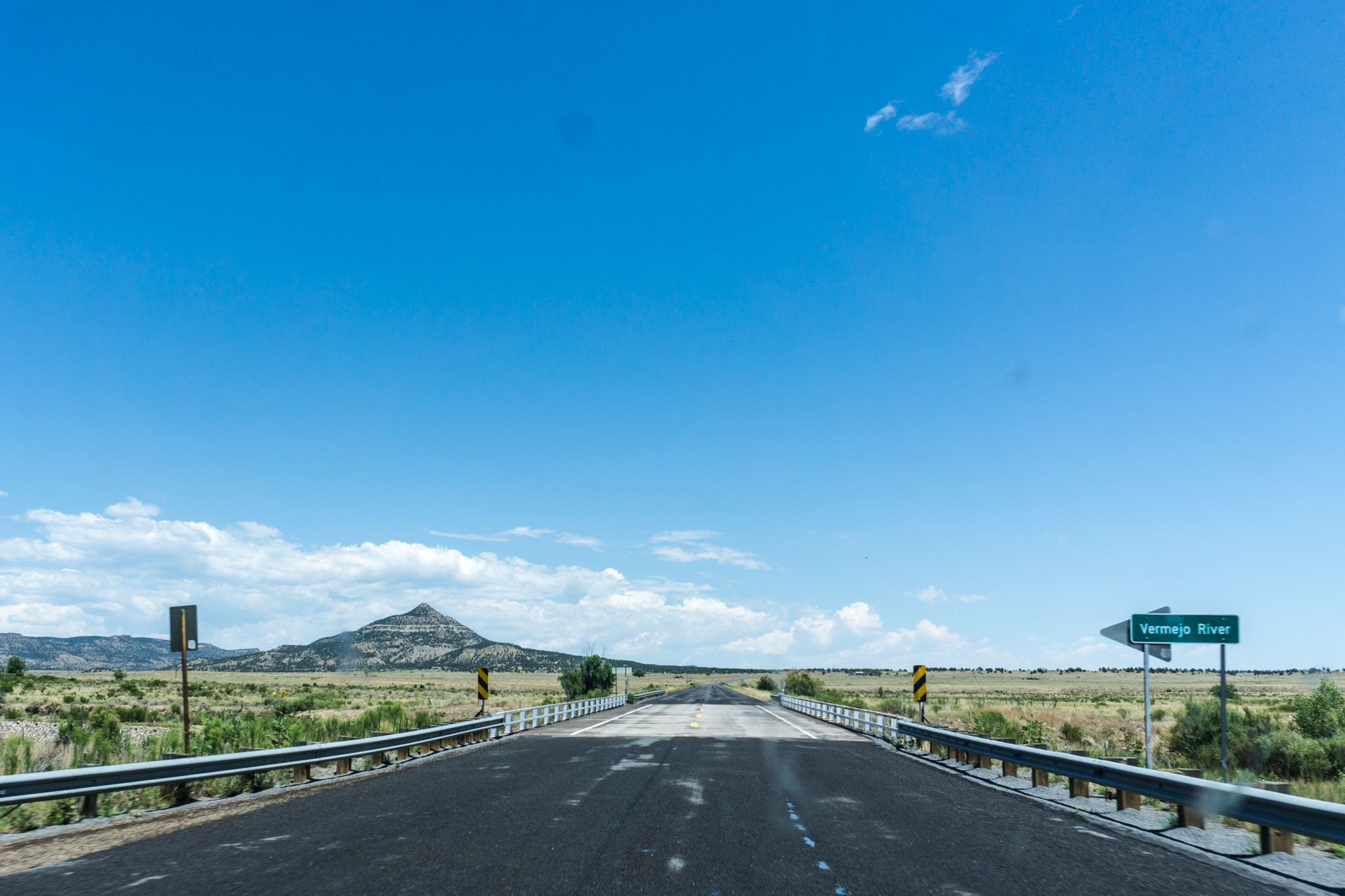
And then New Mexico:
Entering New Mexico
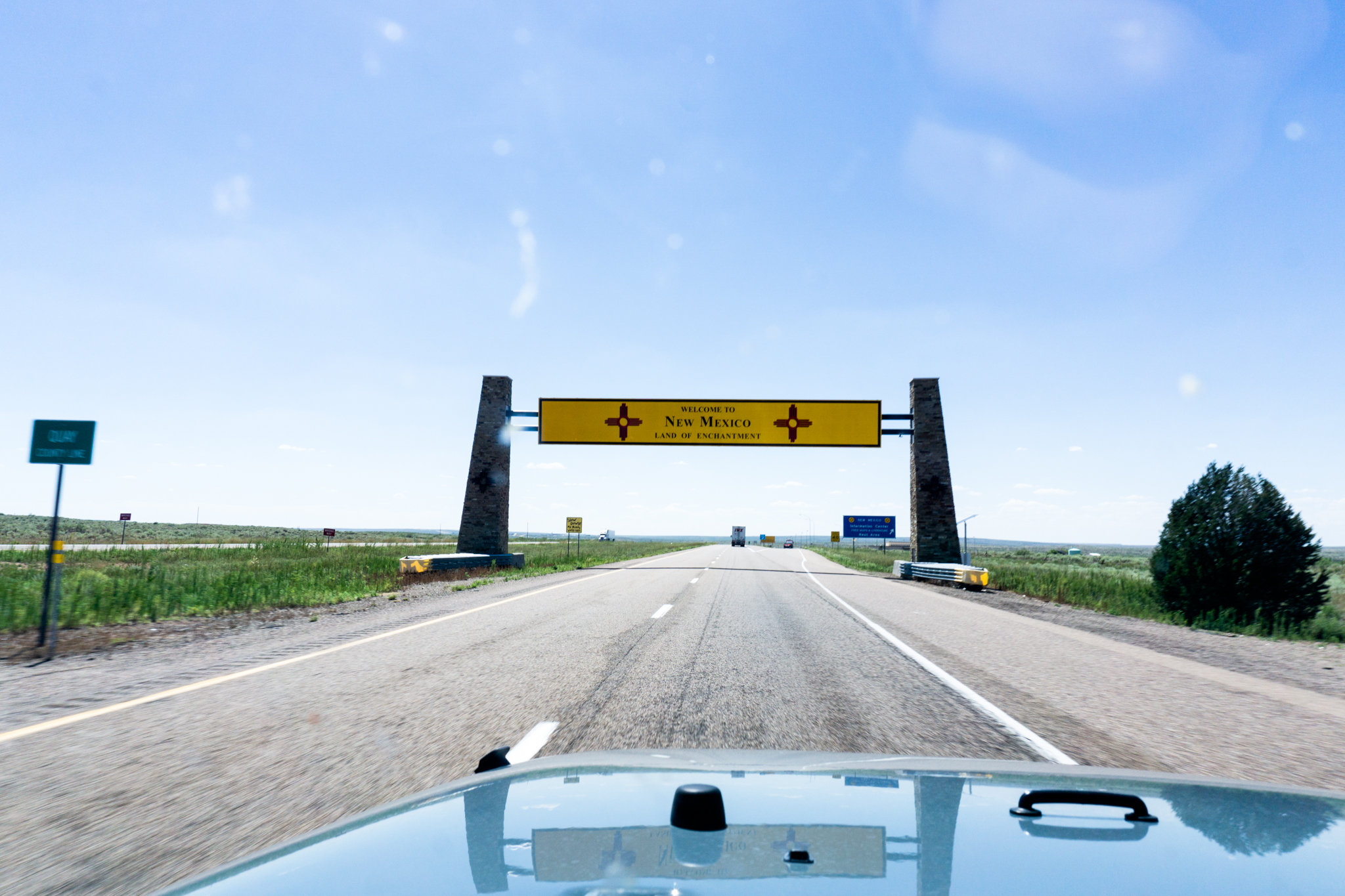
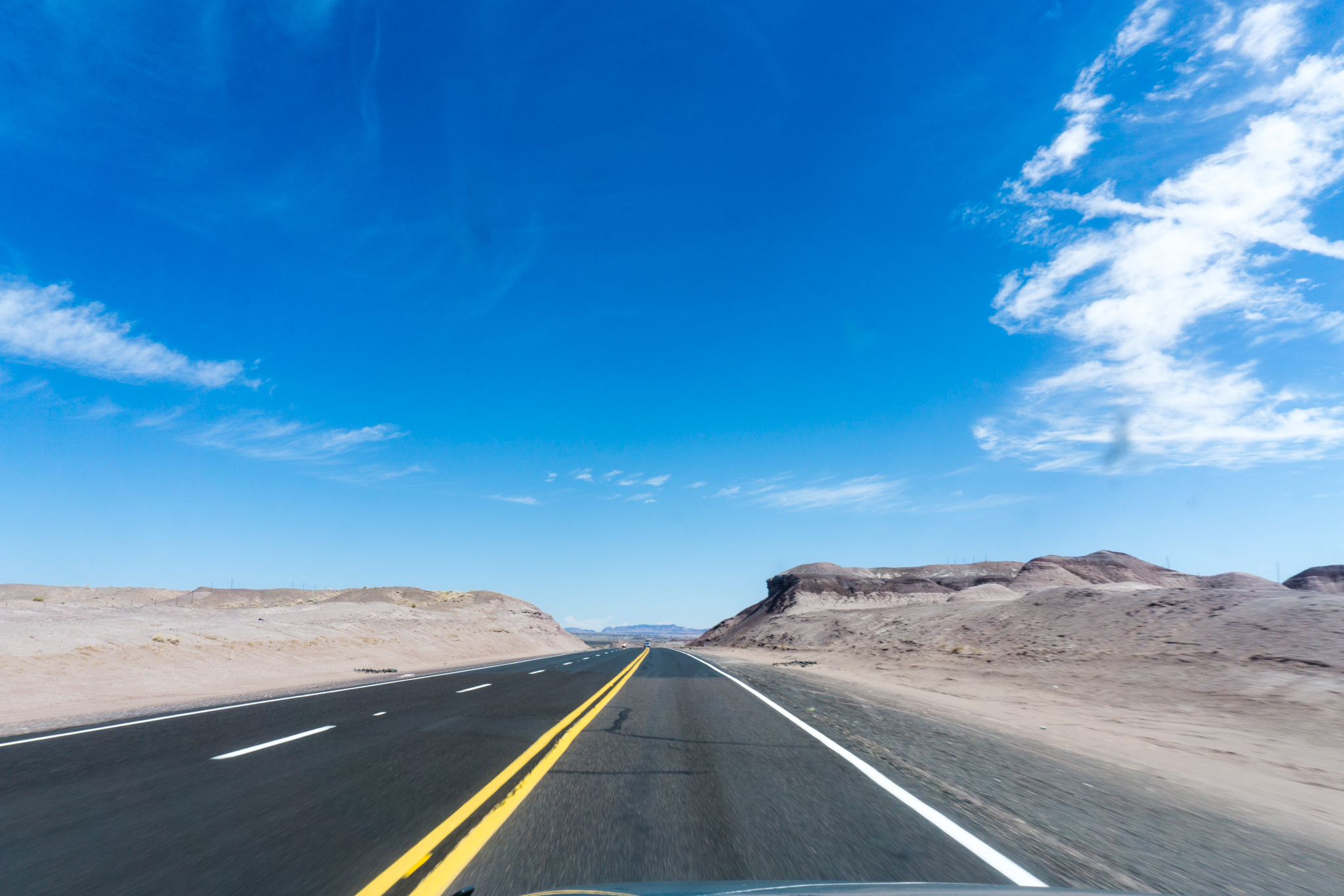
Somewhere just east of Albuquerque, the scenery picks up and you’re in worth-driving territory. I think this one is somewhere west of ABQ though.
DSC02237

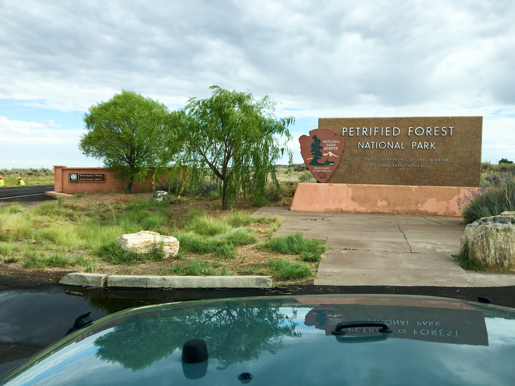
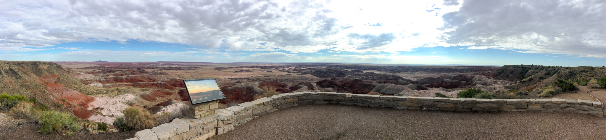
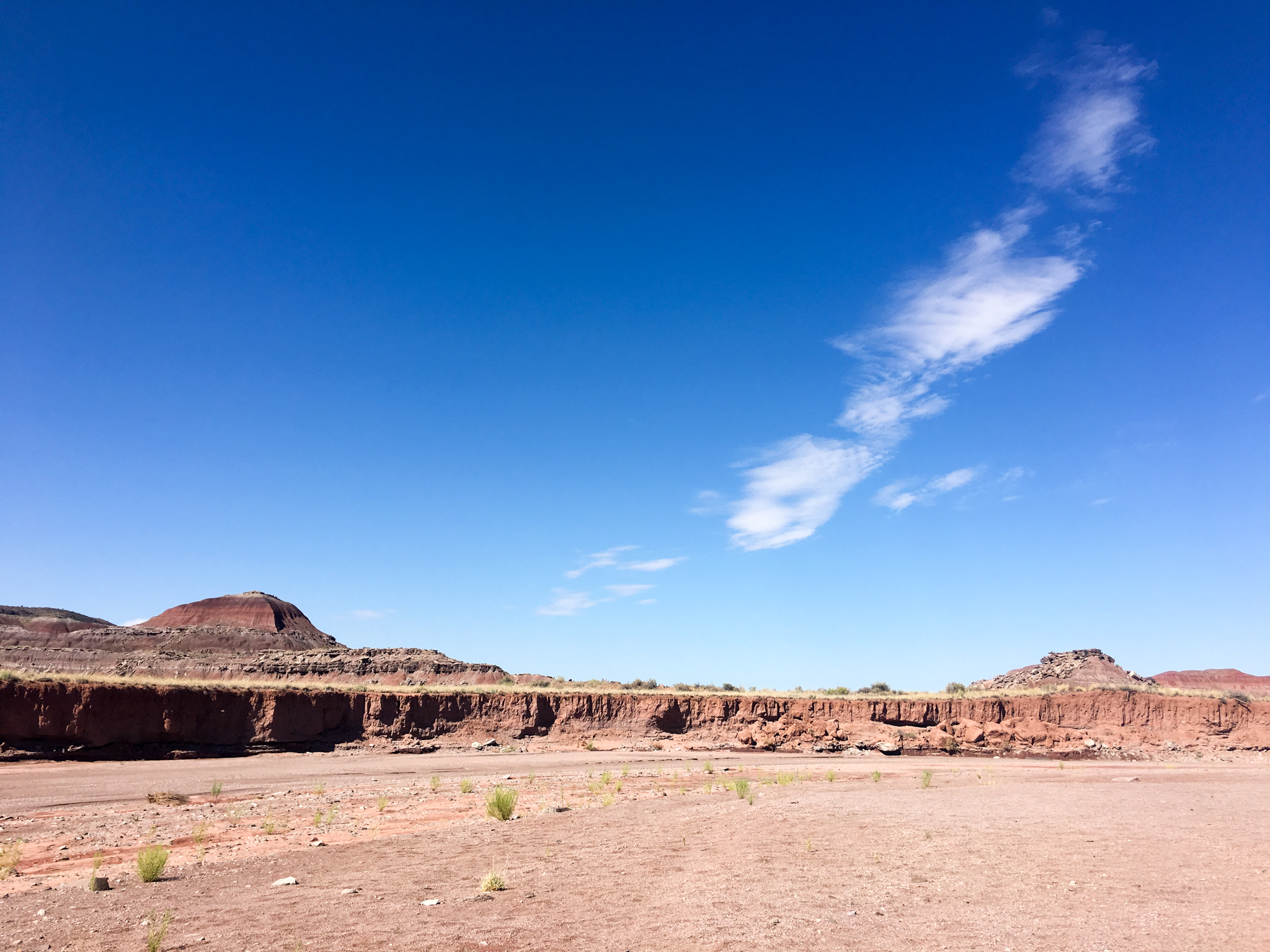
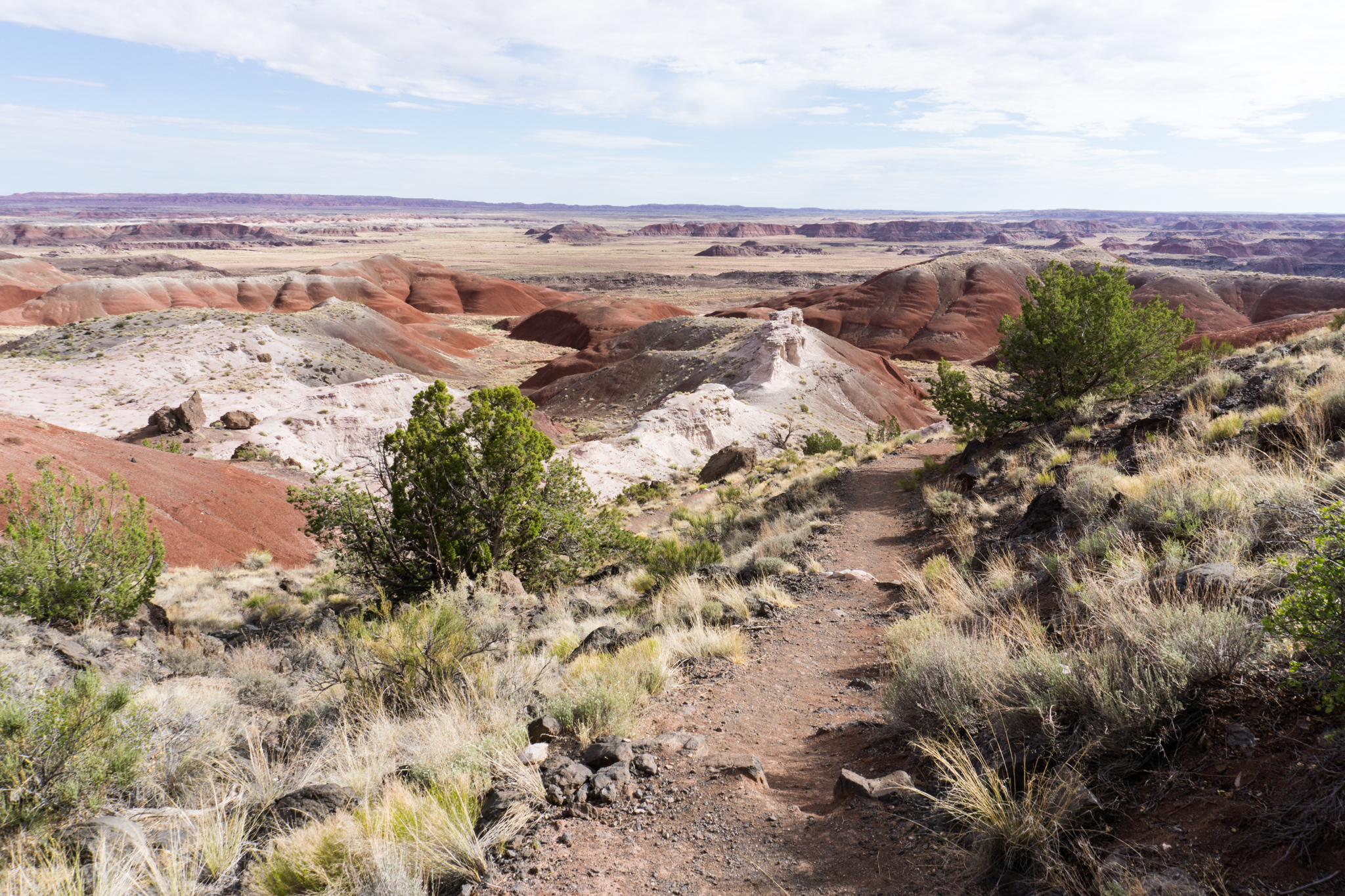
Day 2: Gallup, N.M. to Flagstaff, Ariz. via Petrified Forest National Park

Screen Shot 2016-08-05 at 11.49.48 AM

Breakfast: bad waffle at the EconoLodge, lunch: Mexican place in Winslow, dinner: Flame Broiler in Flagstaff. I realize I am the only person on earth who likes Flame Broiler. So be it. The Flagstaff branch did itself proud. Lodging: Days Hotel in Flagstaff.

DSC02241

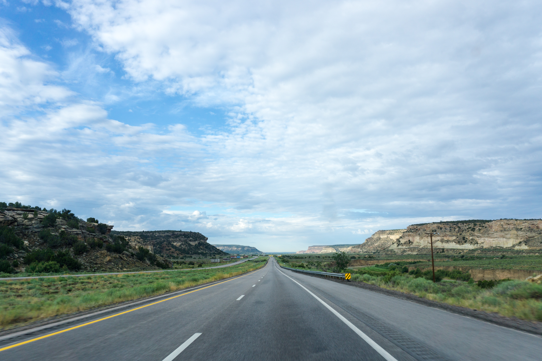
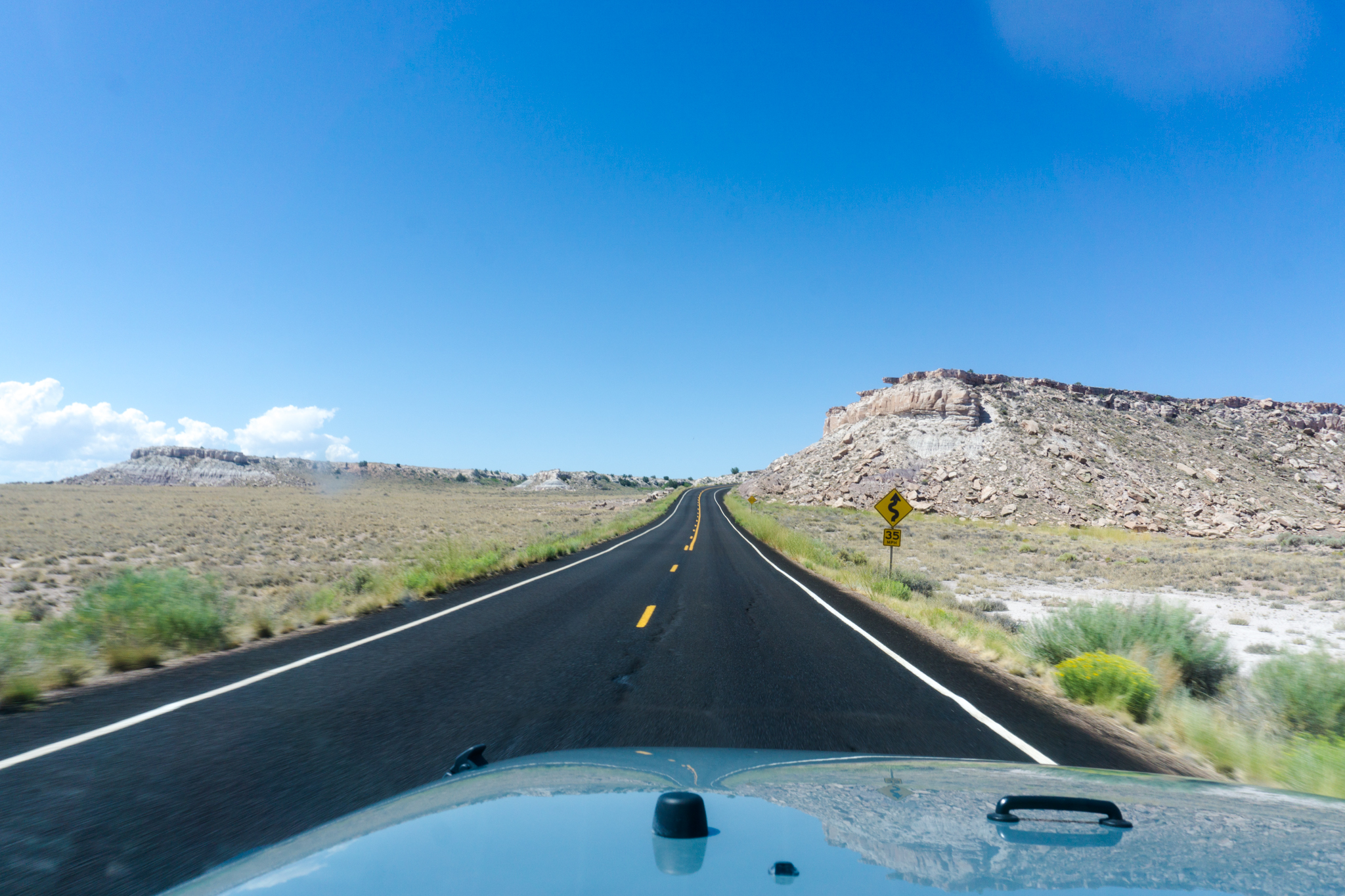
Entering Arizona. Nothing says “welcome” quite like making people drive on the shoulder.

Entering Arizona

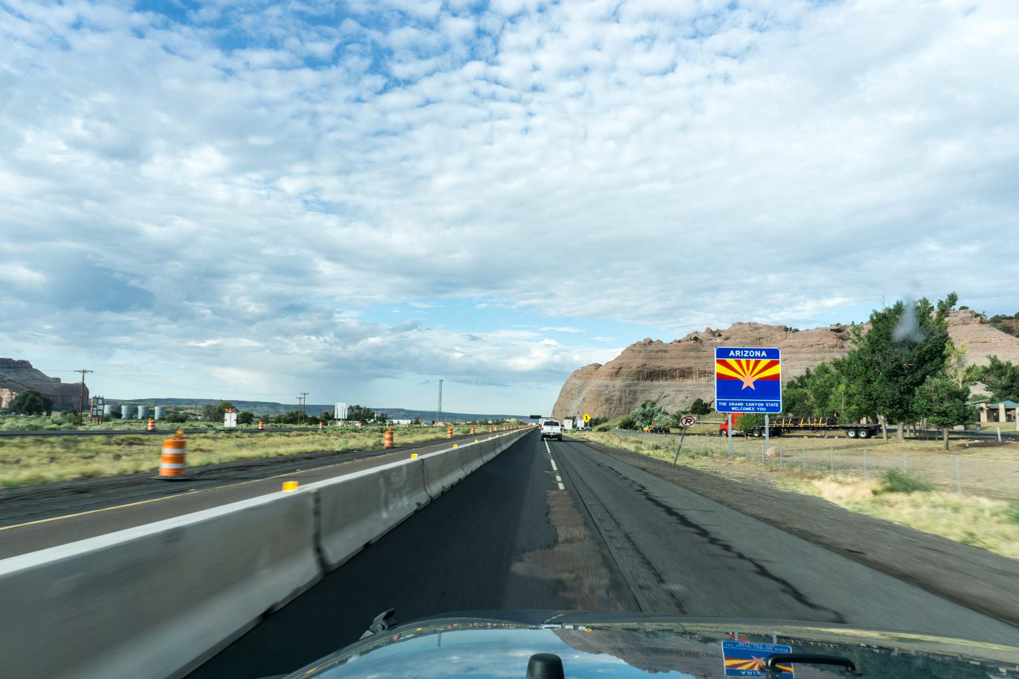
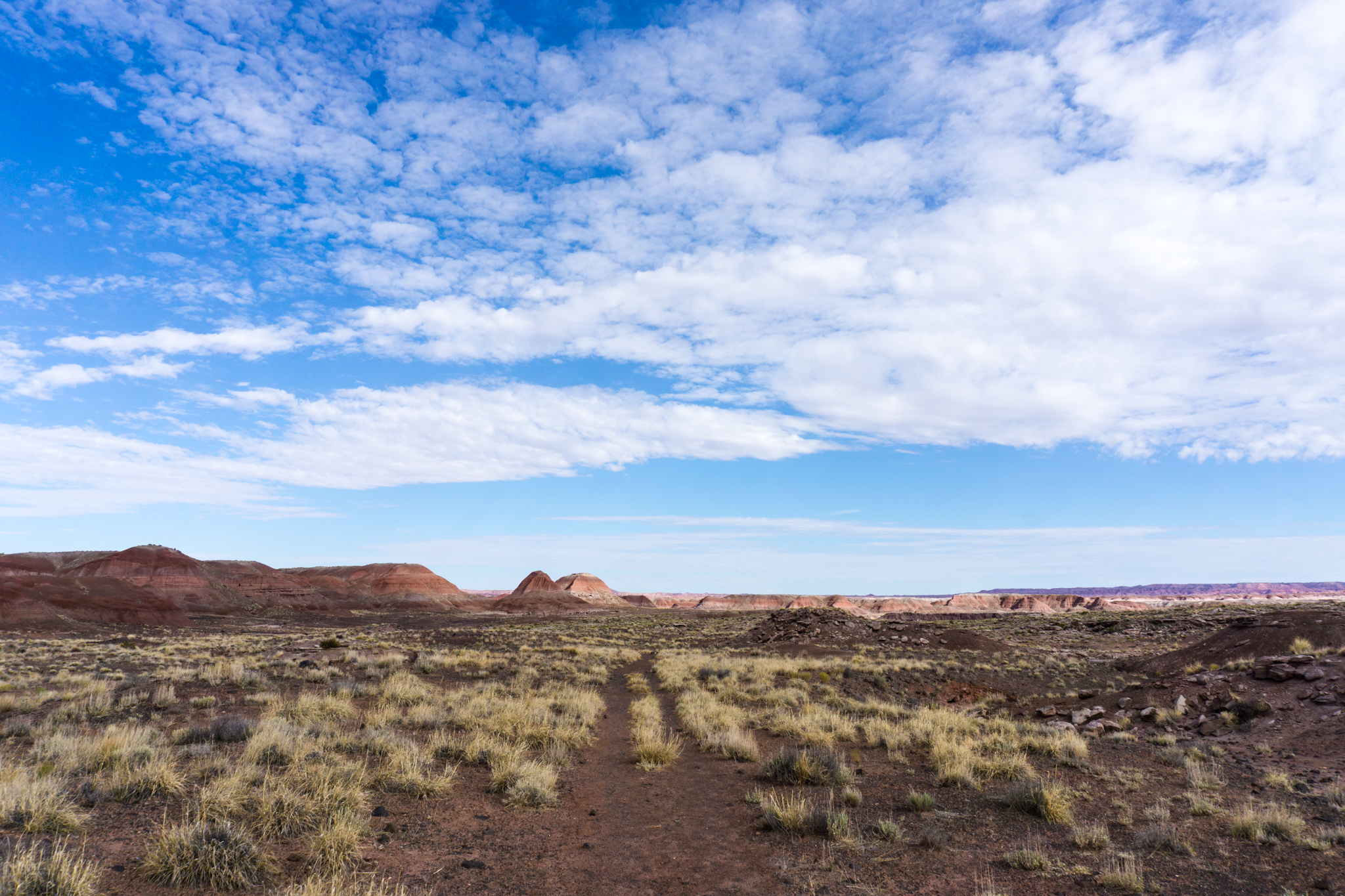
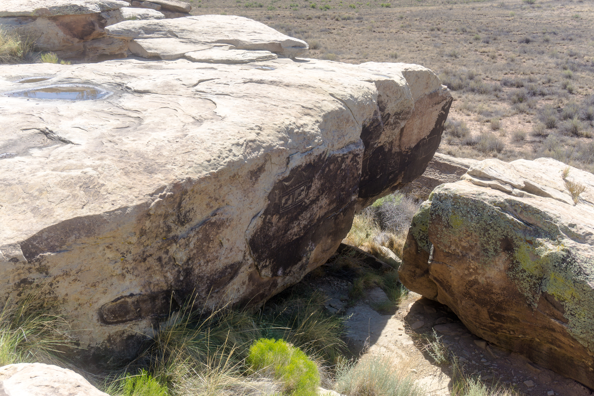
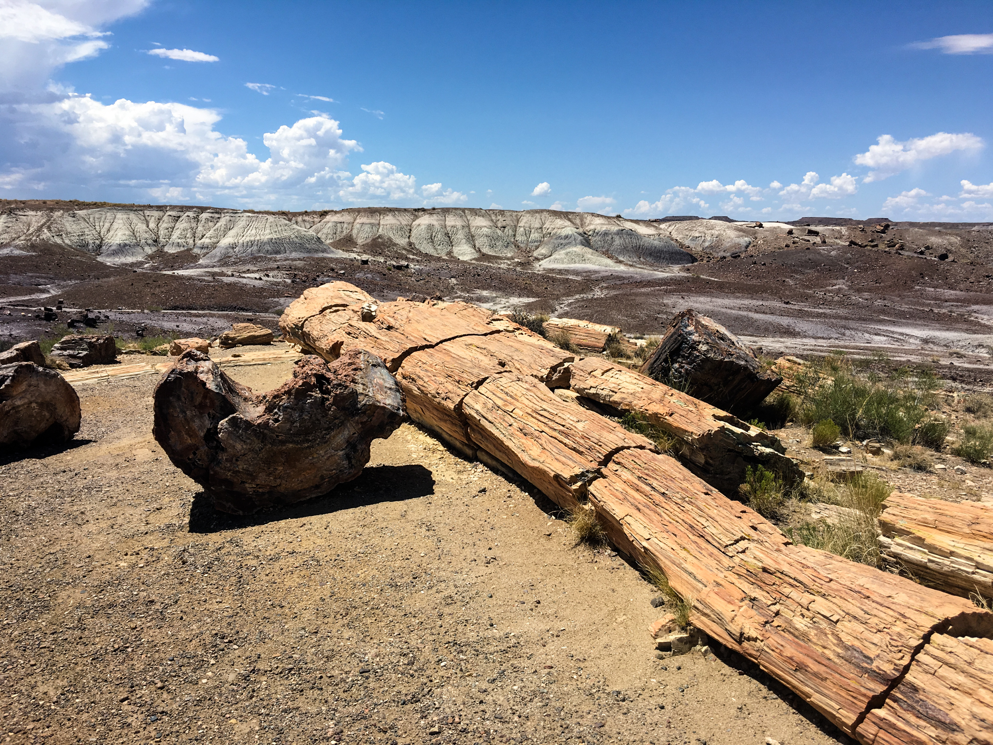
And then, once inside Petrified Forest National Park

Inside the park.

Petrified Forest National Park Road

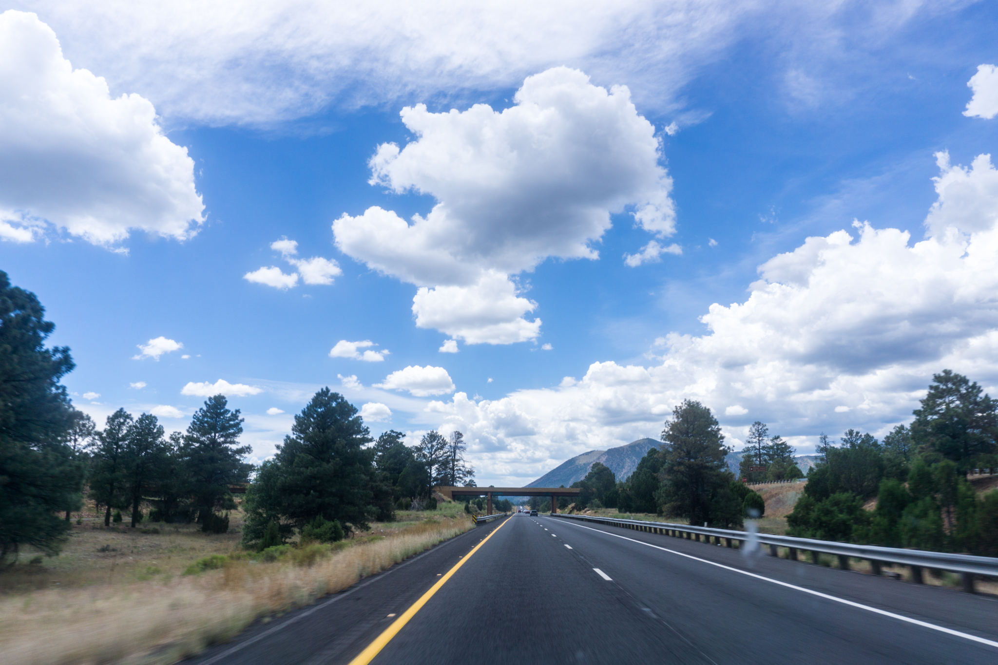
Some of these reflections off the hood turn out all right. The one below is somewhere closer to Flagstaff.

Nearing Flagstaff.

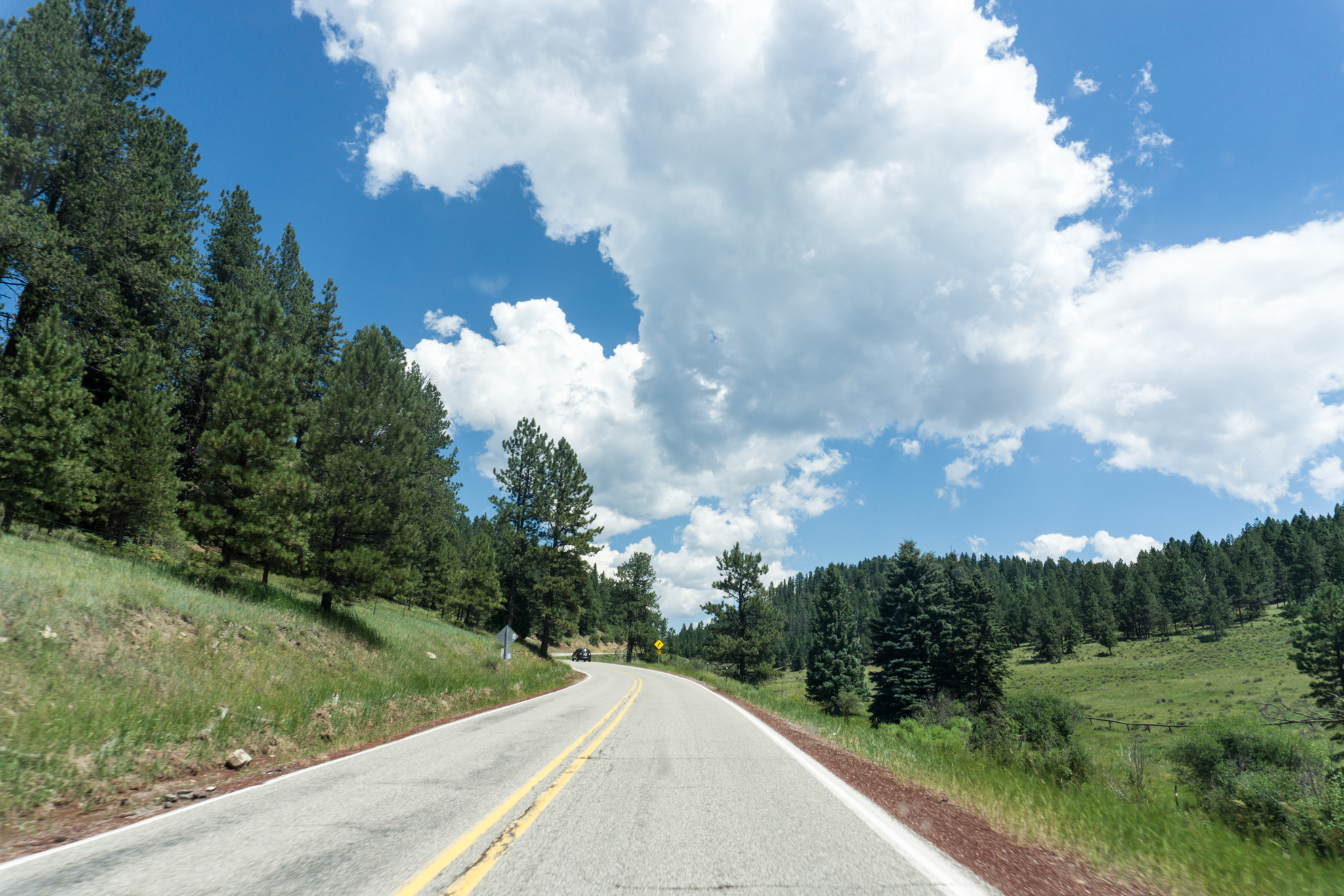
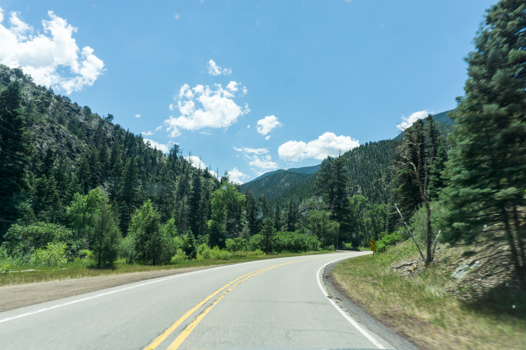
Day 3: Flagstaff, Ariz. to Hurricane, Utah

Screen Shot 2016-08-05 at 12.07.14 PM

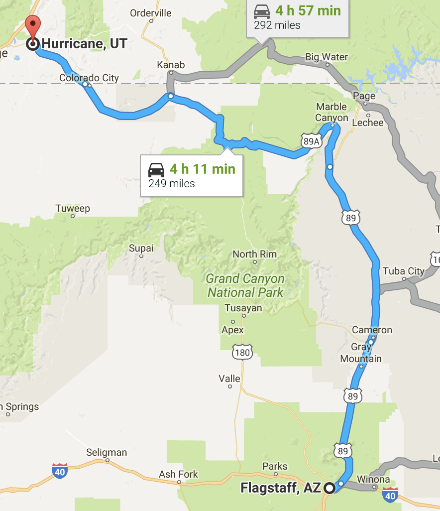
Breakfast: probably something at the hotel, lunch: Hurricane DQ at like 4 PM, dinner: with Brit-Dev and the Erors at… some Utah chain that’s like Café Rio, but isn’t Café Rio. First time in my life I ever ordered a salad at a restaurant (as the main course). Milestones. Lodging: Super 8 in Hurricane. Gas mileage improved into the 18s.

This drive, btw, is one of the prettiest drives on earth. You do hit a little bit of RV traffic north of the Grand Canyon, but, man, the scenery is non-stop. I hadn’t driven it since I was an undergrad 20+ years ago.

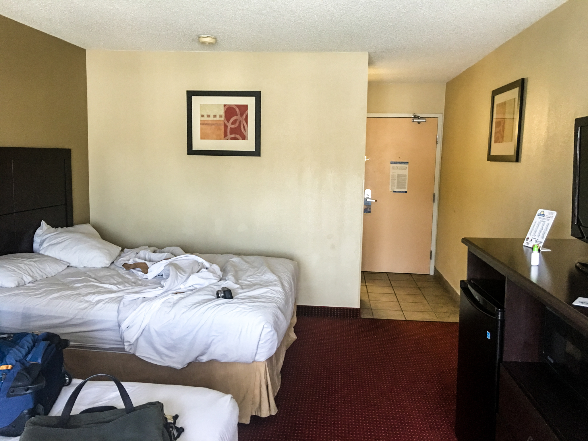
Below is the Days Hotel room. Decent place, good wifi, glass elevator with view of the pool. Wall art was hung too high though, so deduct 1.5 stars for that.

The Days Hotel room. Decent place, good wifi, glass elevator with view of the pool. Wall art was hung too high though, so deduct 1.5 stars for that.

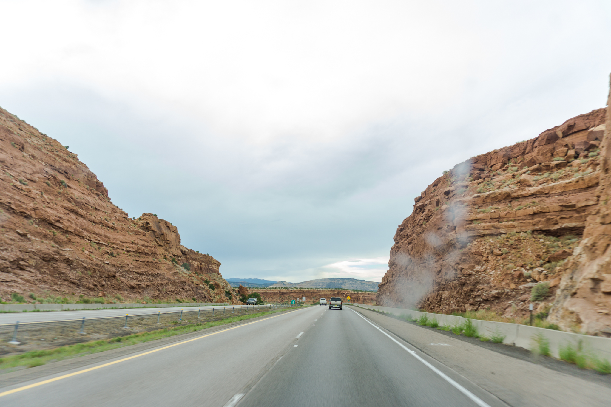
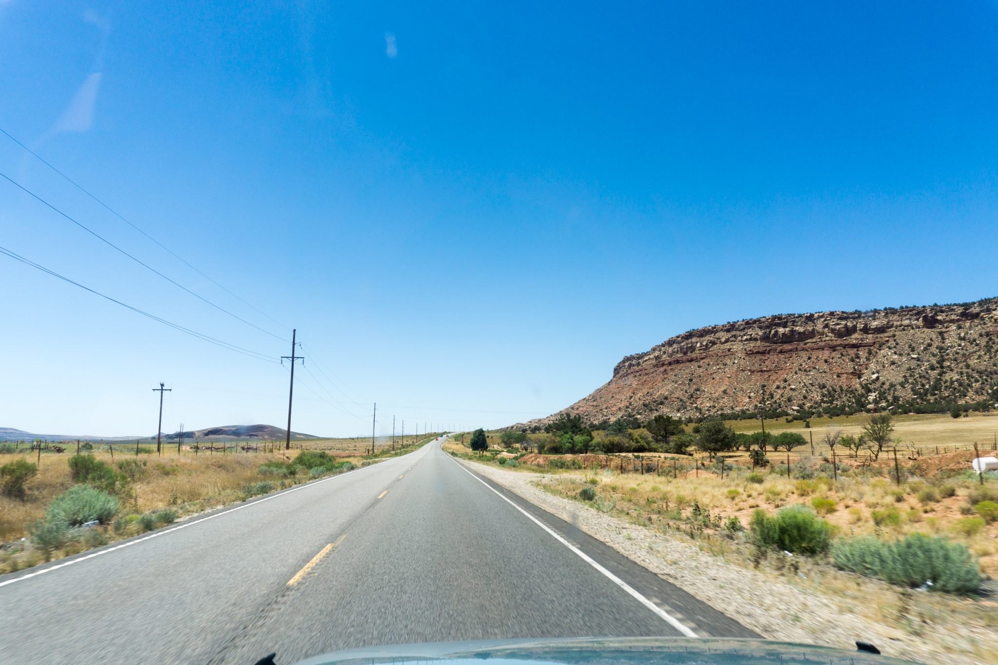
And back on the road:

DSC02353

DSC02357

DSC02365

DSC02372

Bridge over the River Colorado. I got out of the car to take this one.

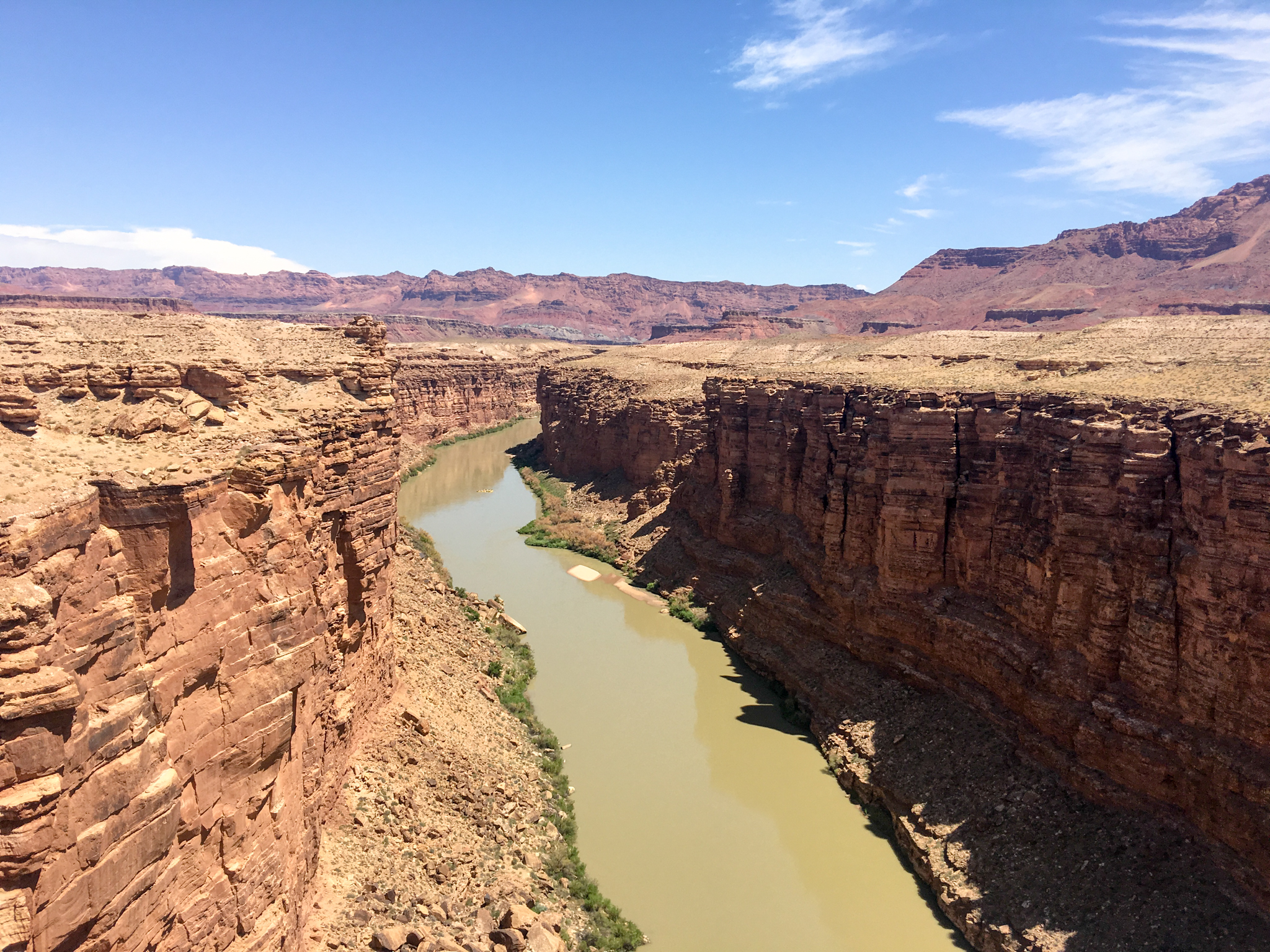
Above is from the bridge over the river Colorado. I got out of the car for this one, but this is literally the view from off the bridge you drive over on Highway 89 (89A? whichever).

DSC02395

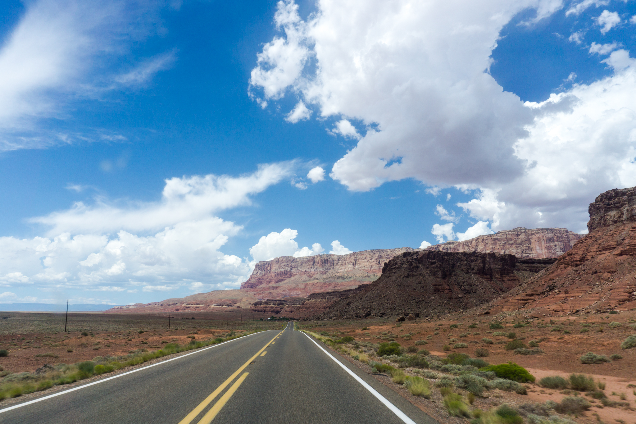
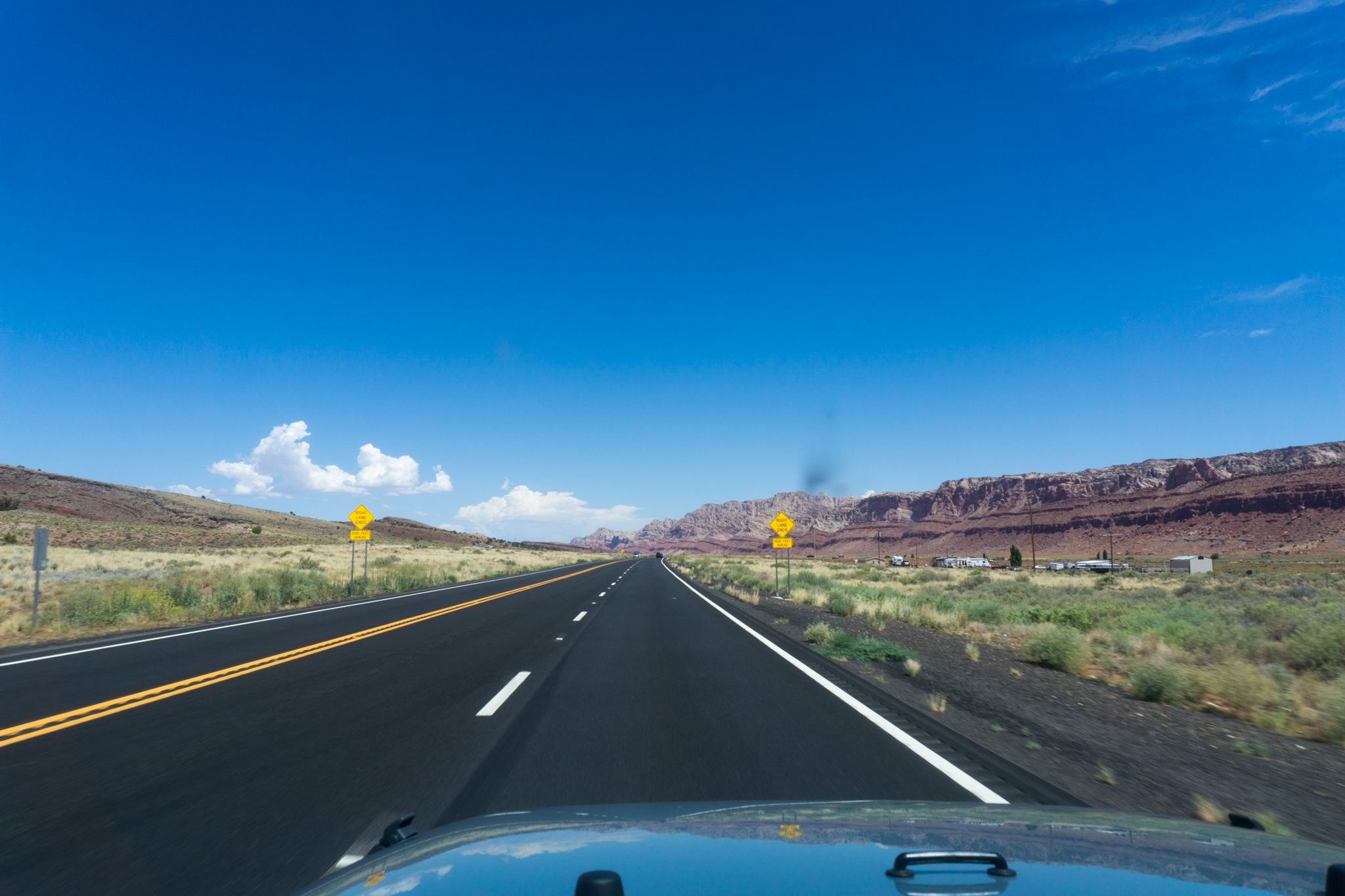
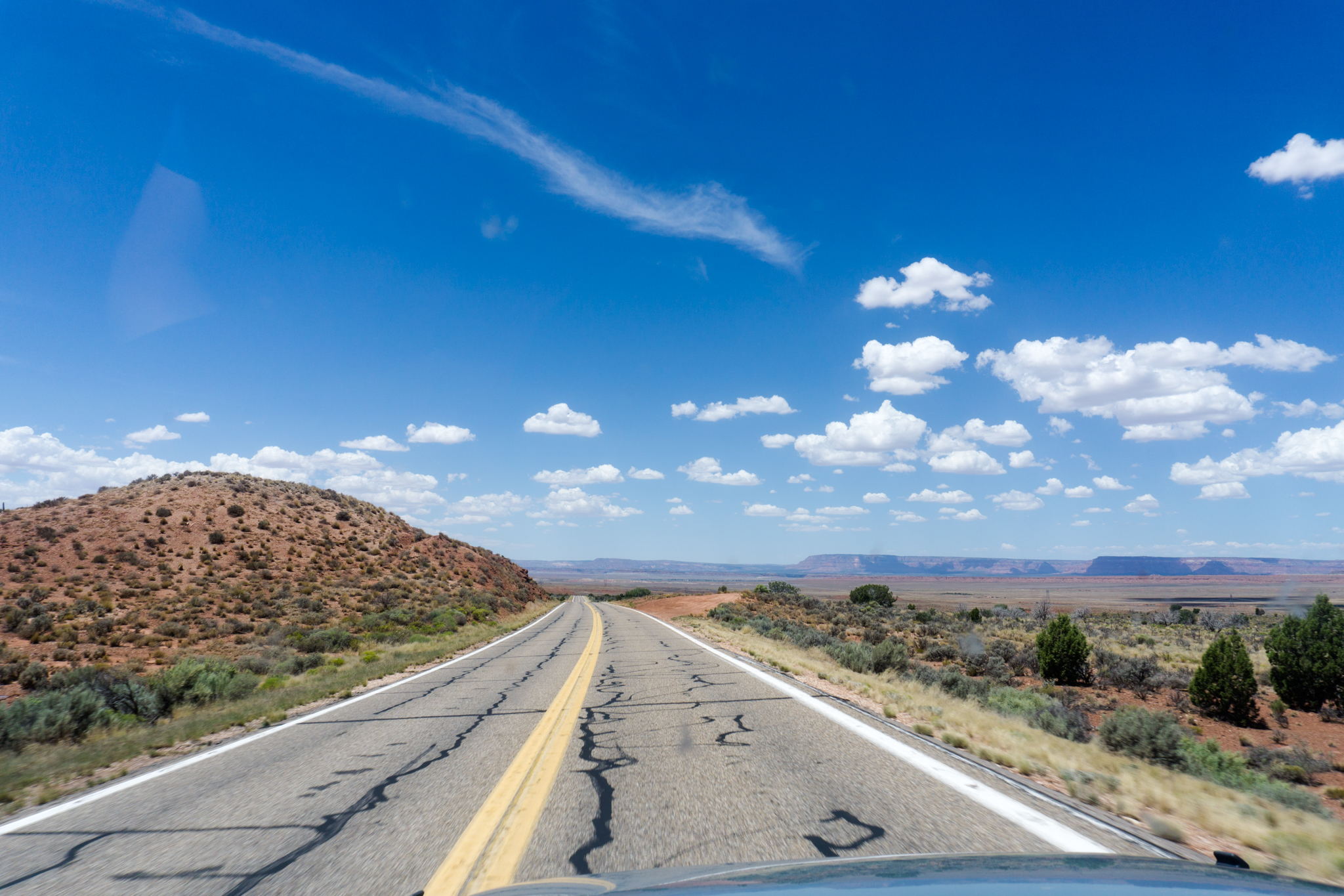
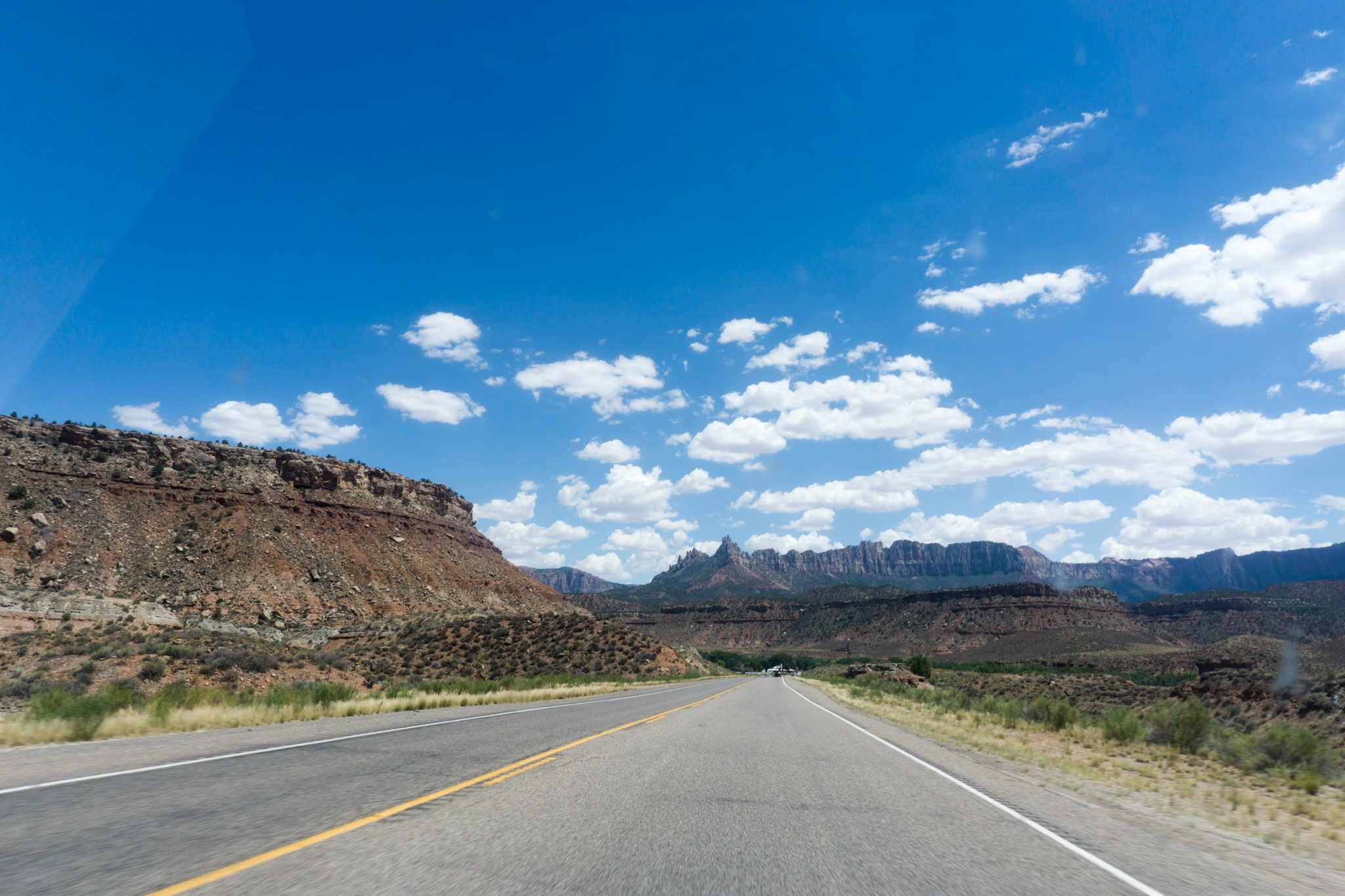
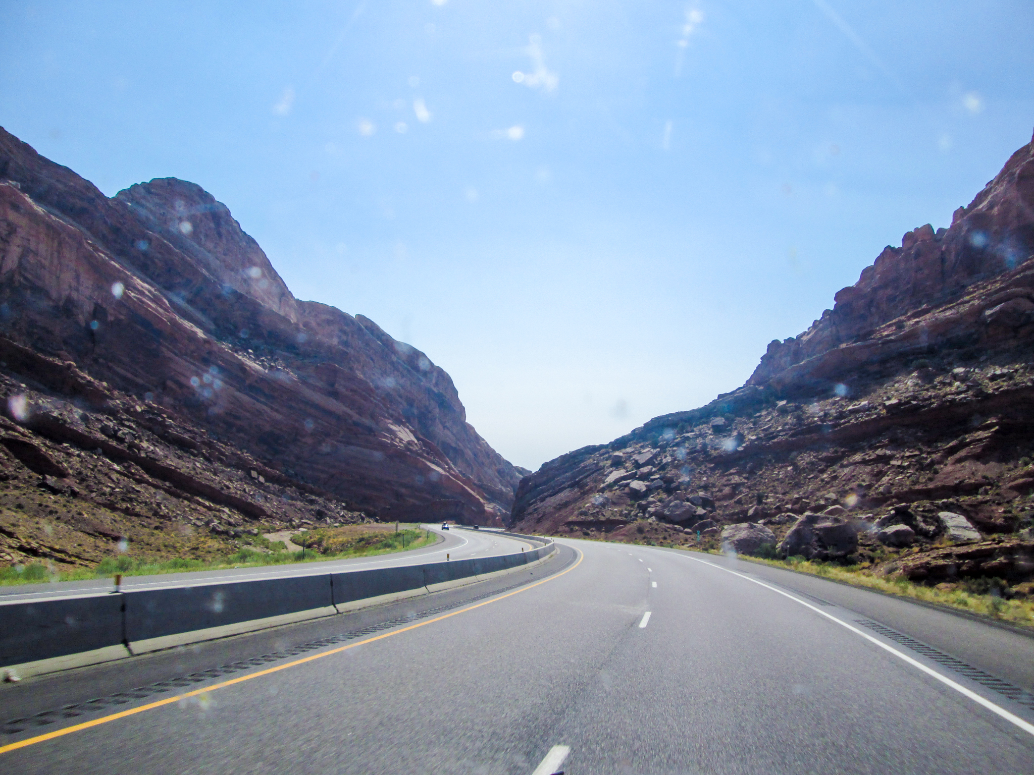
Out of the desert, into the high hills nearing the AZ-UT border:

Out of the desert, into the high hills along the AZ-UT border.

DSC02409

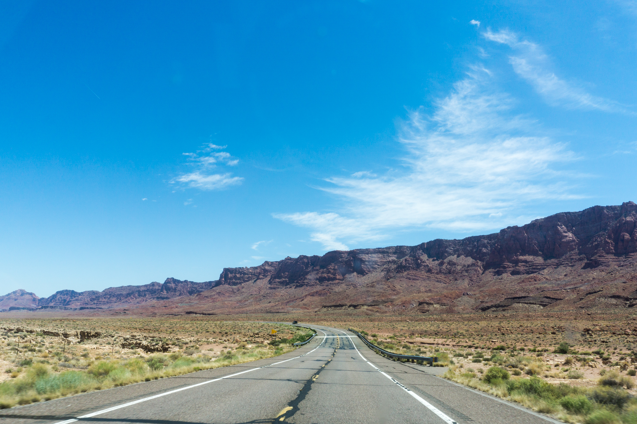
Then back down into the desert:

Kaibab National Forest

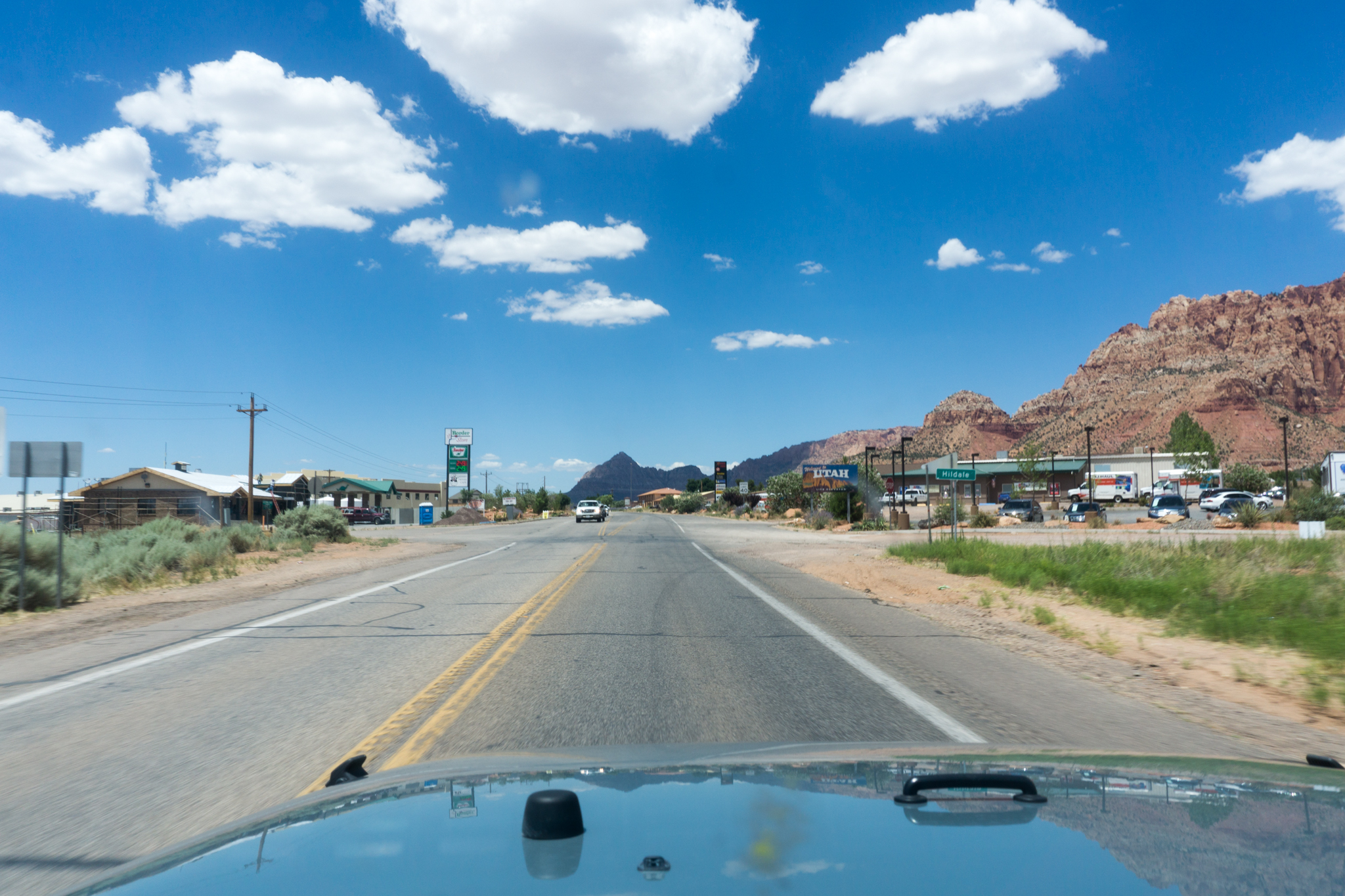
And the Utah state line. If I’d seen a Lost Boy around there, I would have at least given him a ride into St. George. (Although I don’t suppose they get dropped off along the highway in the town where they actually lived.)

Entering Utah. FWIW and from the highway, Hilldale seems more like a place humans might live than does Colorado City.

DSC02430

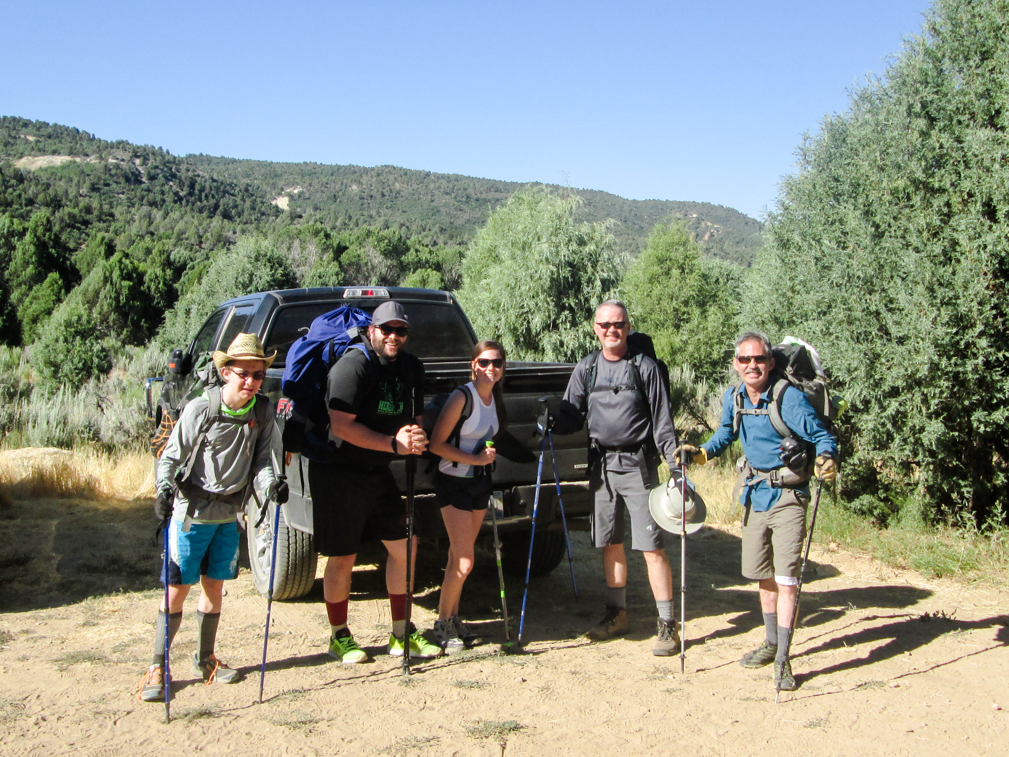
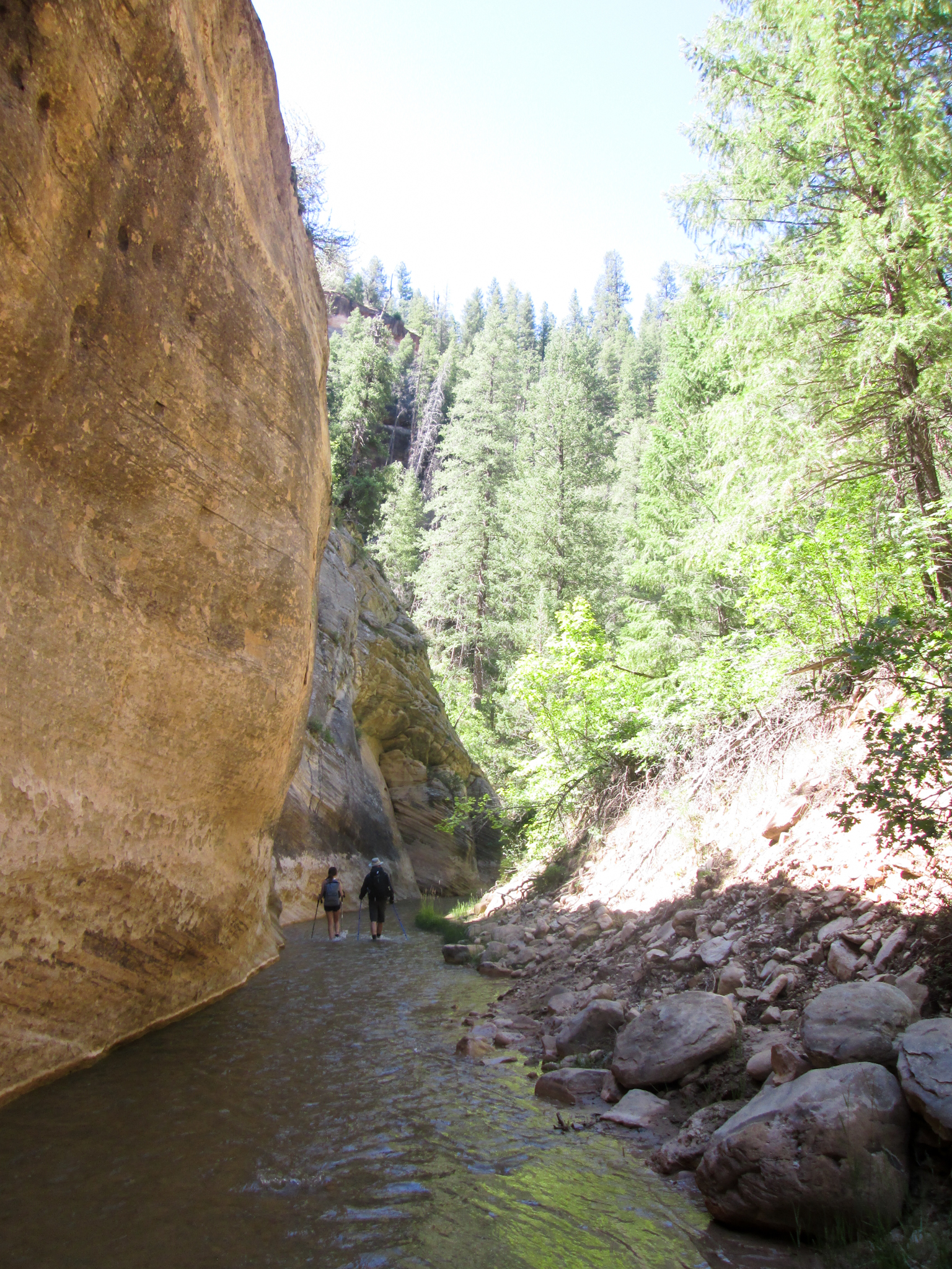
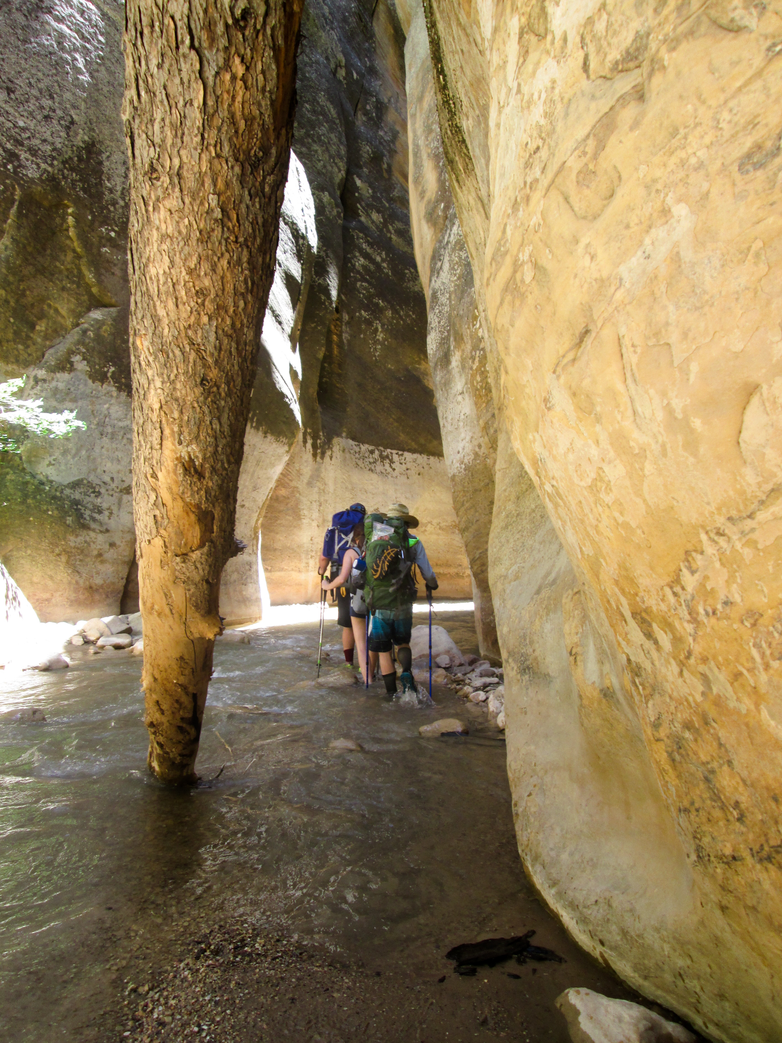
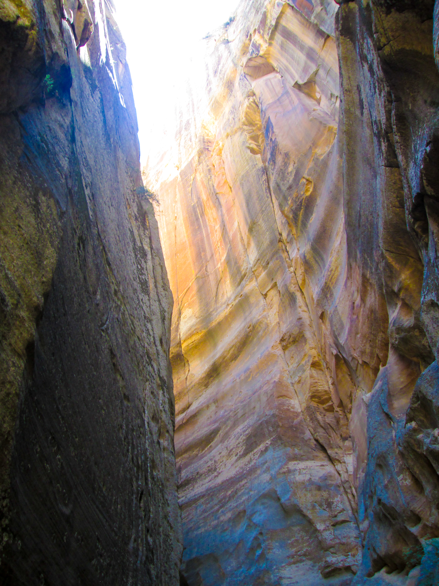
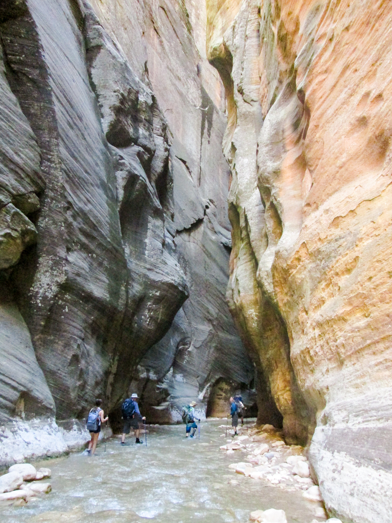
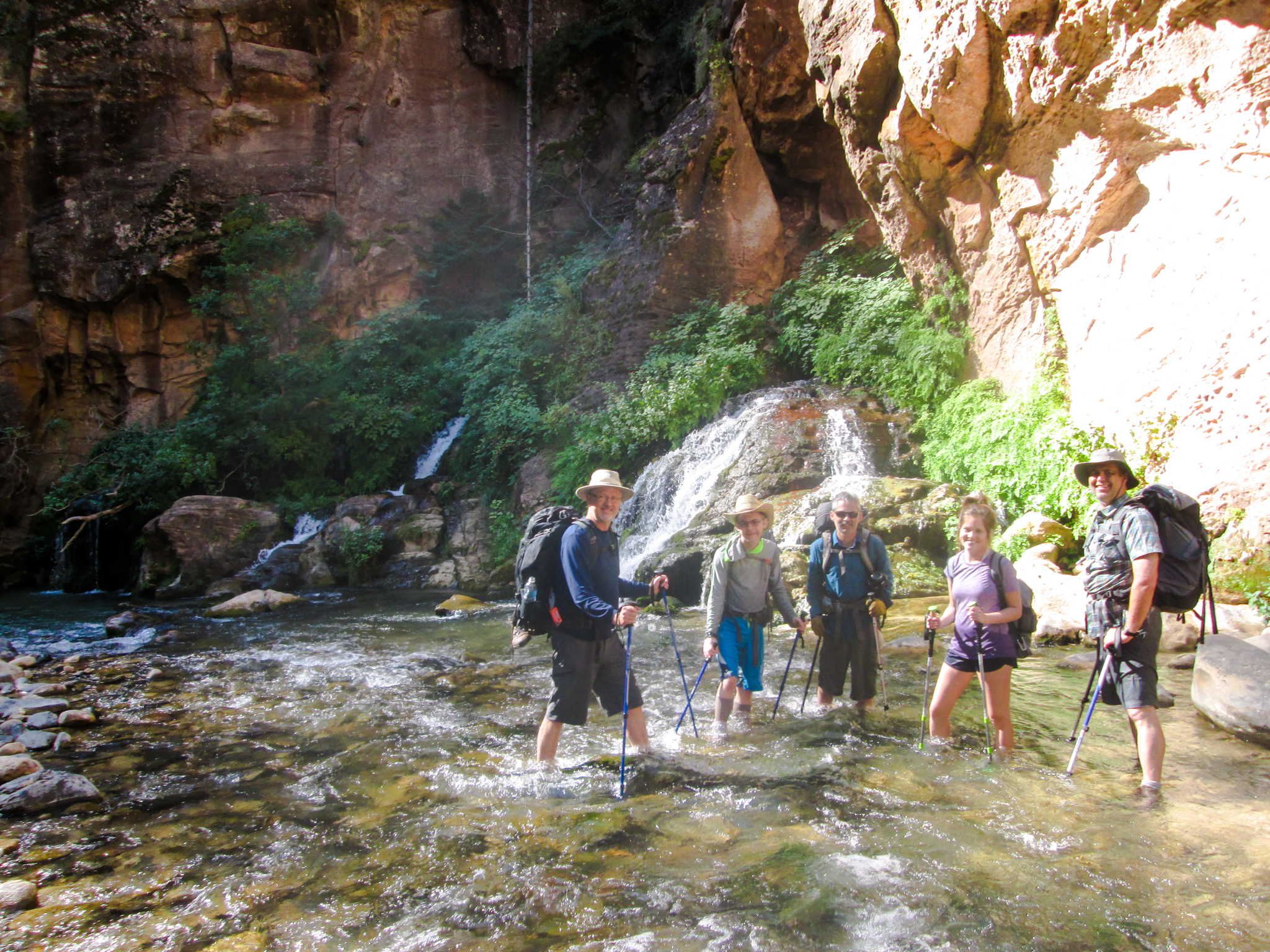
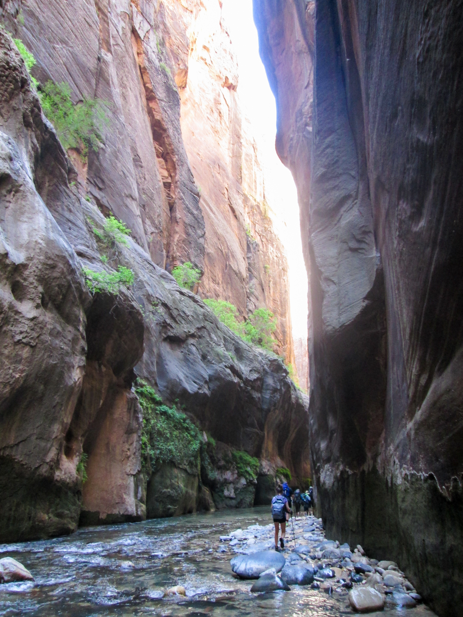
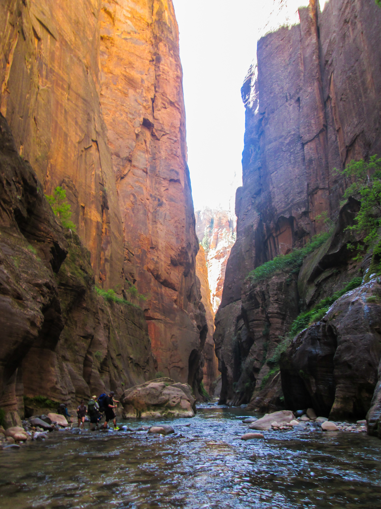
Day 4: Hurricane, Utah to Zion National Park

Screen Shot 2016-08-05 at 12.35.43 PM

Breakfast: uh — I feel like I ate something, but don’t know what it was; I was too proud to eat at the Super 8. Lunch: a mounds bar I think, dinner: crackers with peanut butter and a pouch of beef jerky (about which I should probably come clean — it was only 80 calories/oz.). Lodging: Campsite 5. This was the first day of the Narrows hike, so didn’t cover a whole lot of miles in the car.

Hurricane to Zion

And, since I’m being post facto honest, I think the above photo was actually from the previous afternoon when I drove into the park to pick up the permit. It’s between Hurricane and the park, though, so — right scenery regardless.

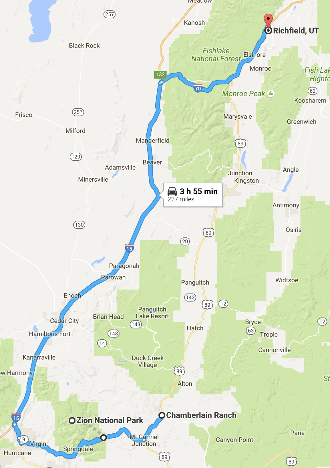
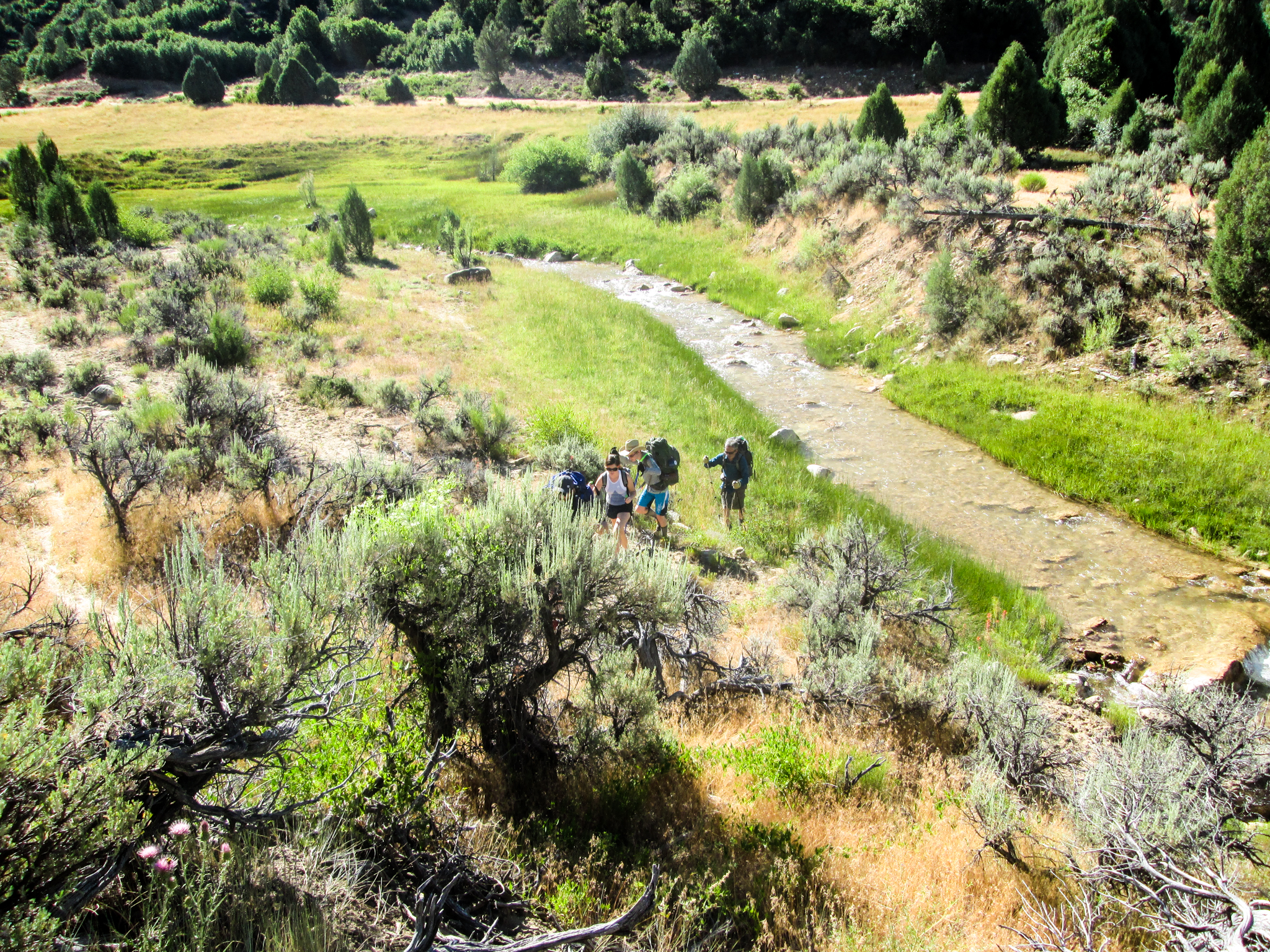
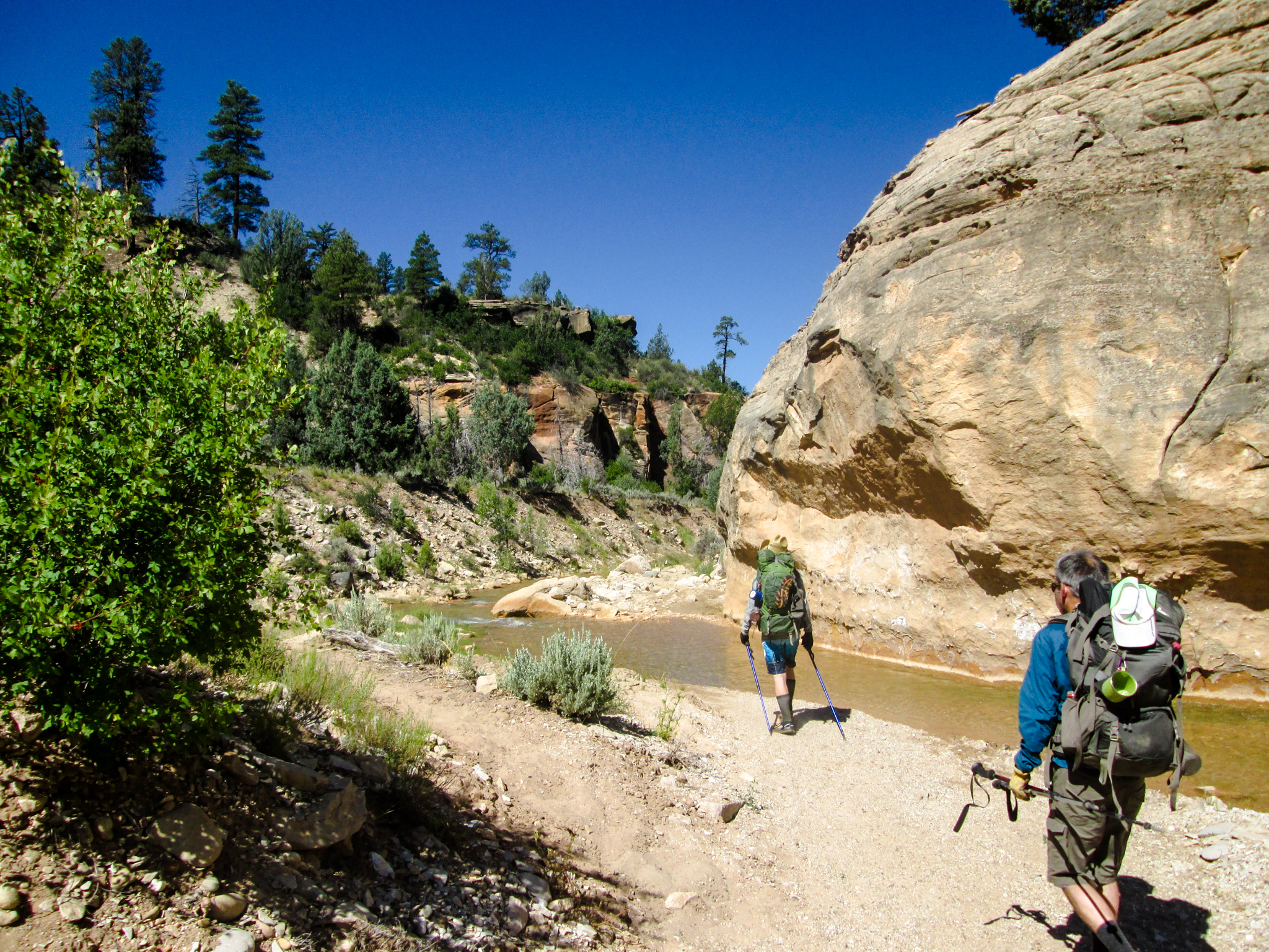
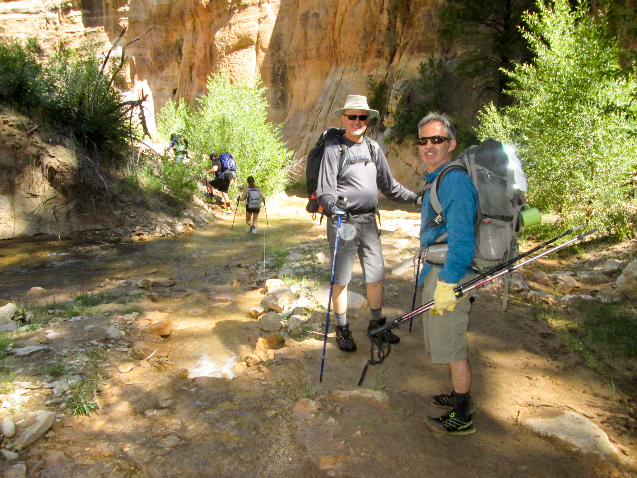
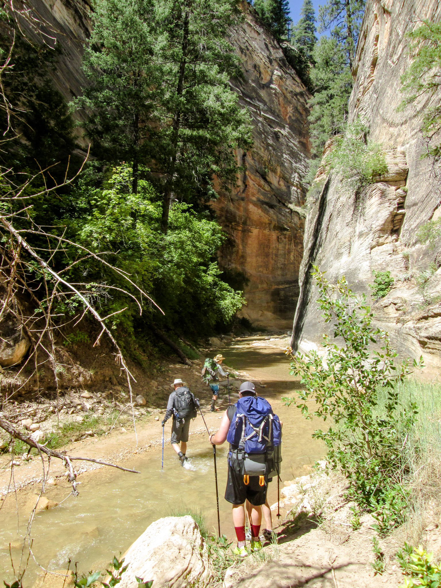
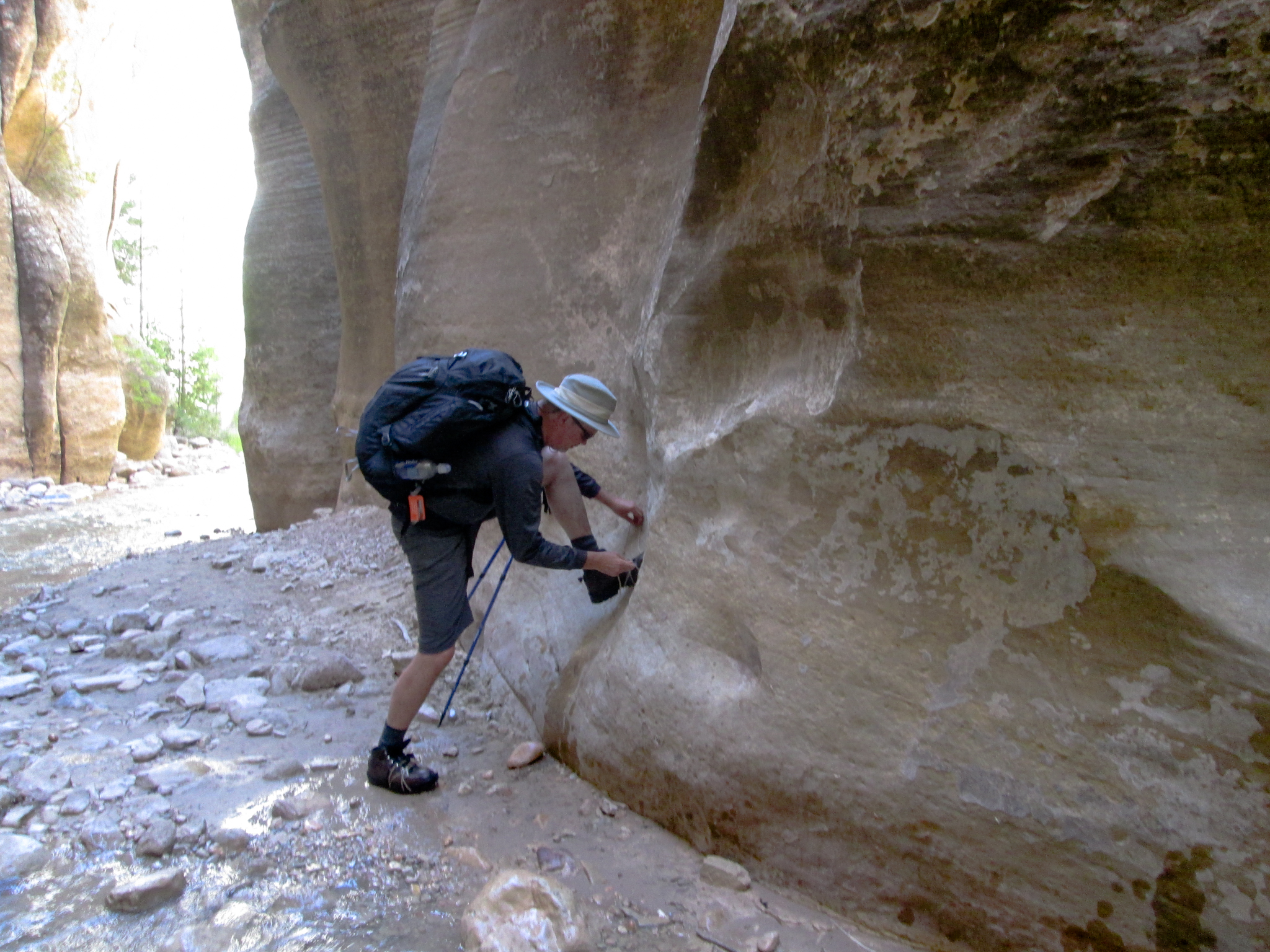
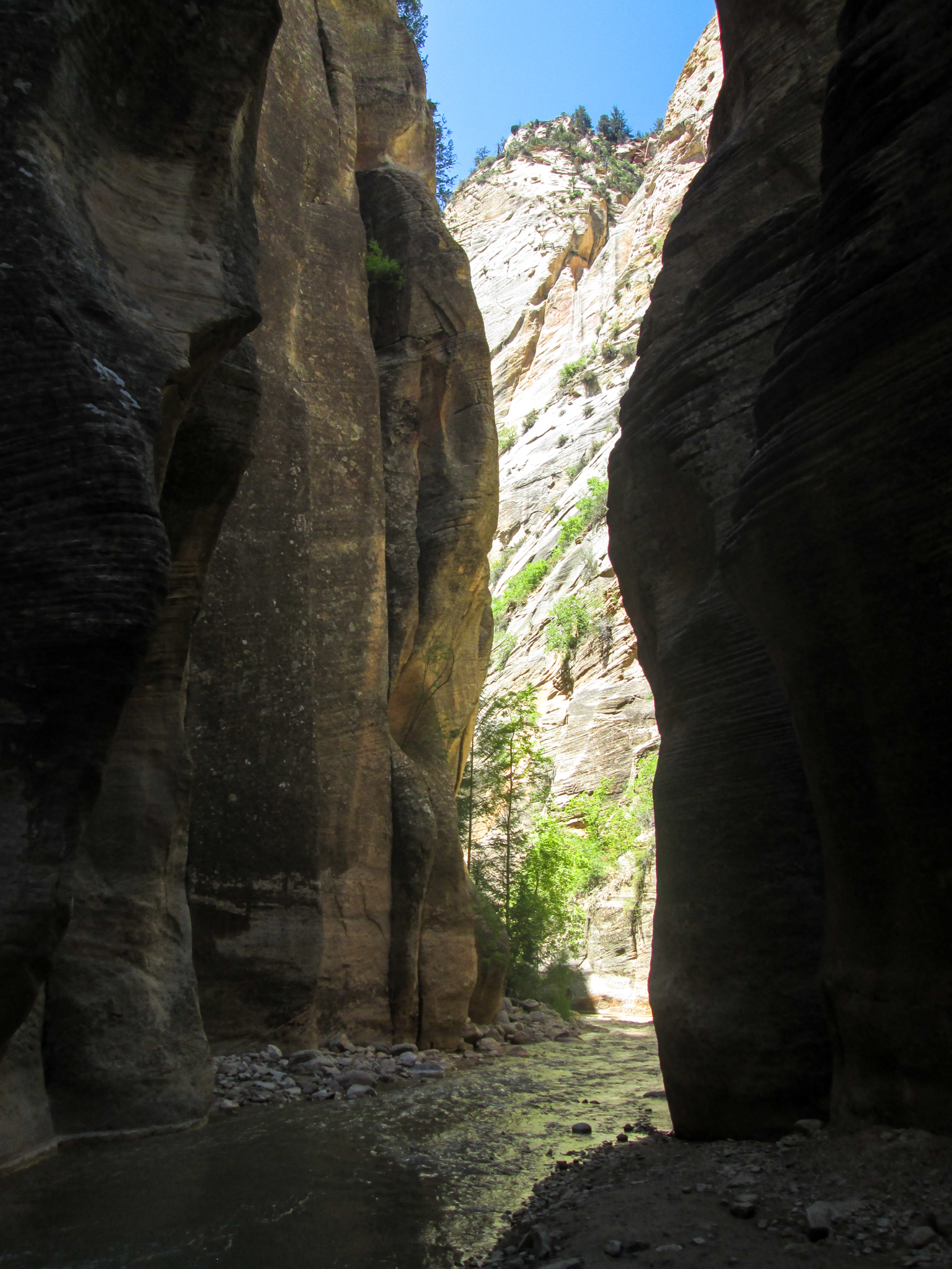
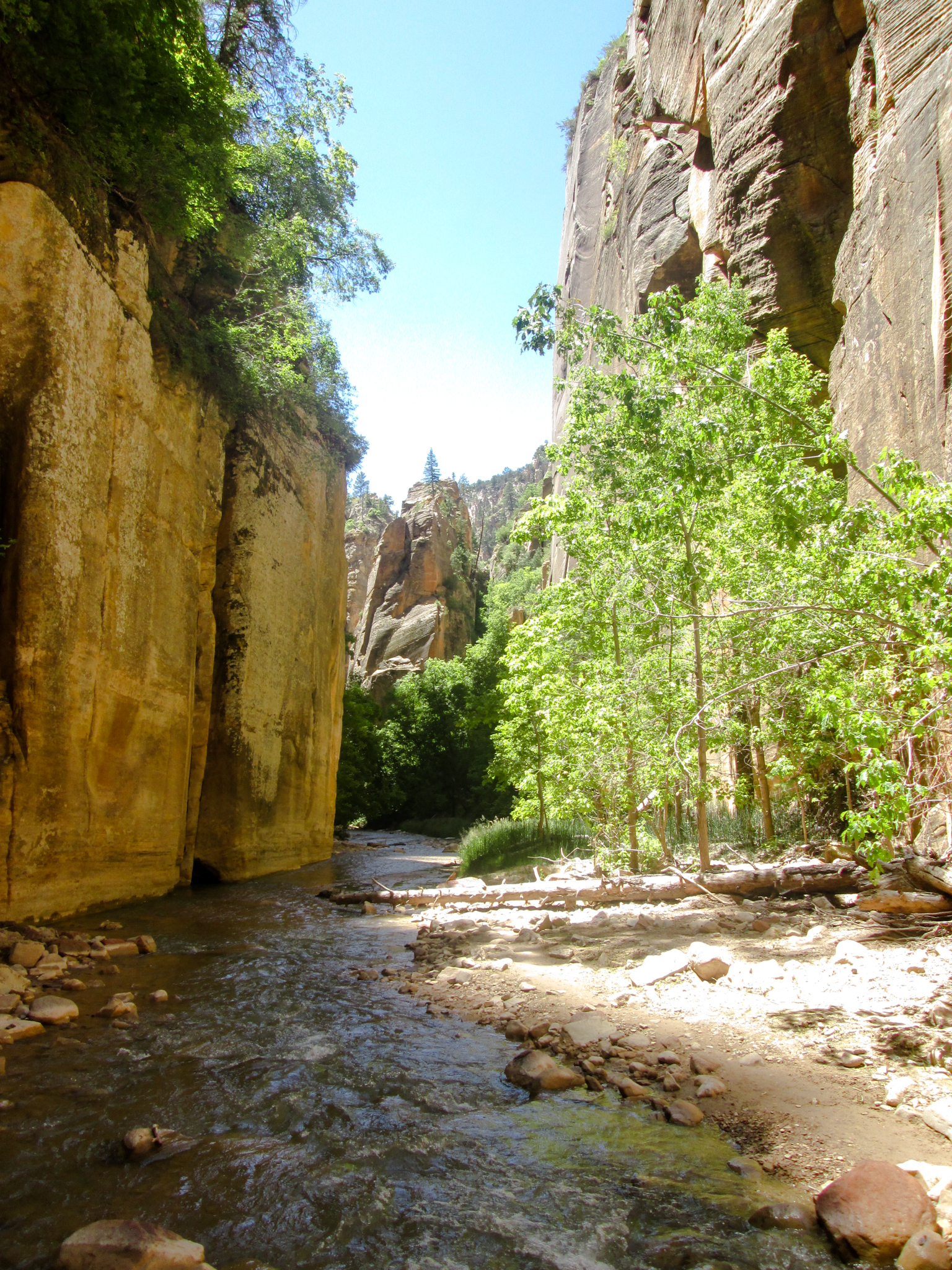
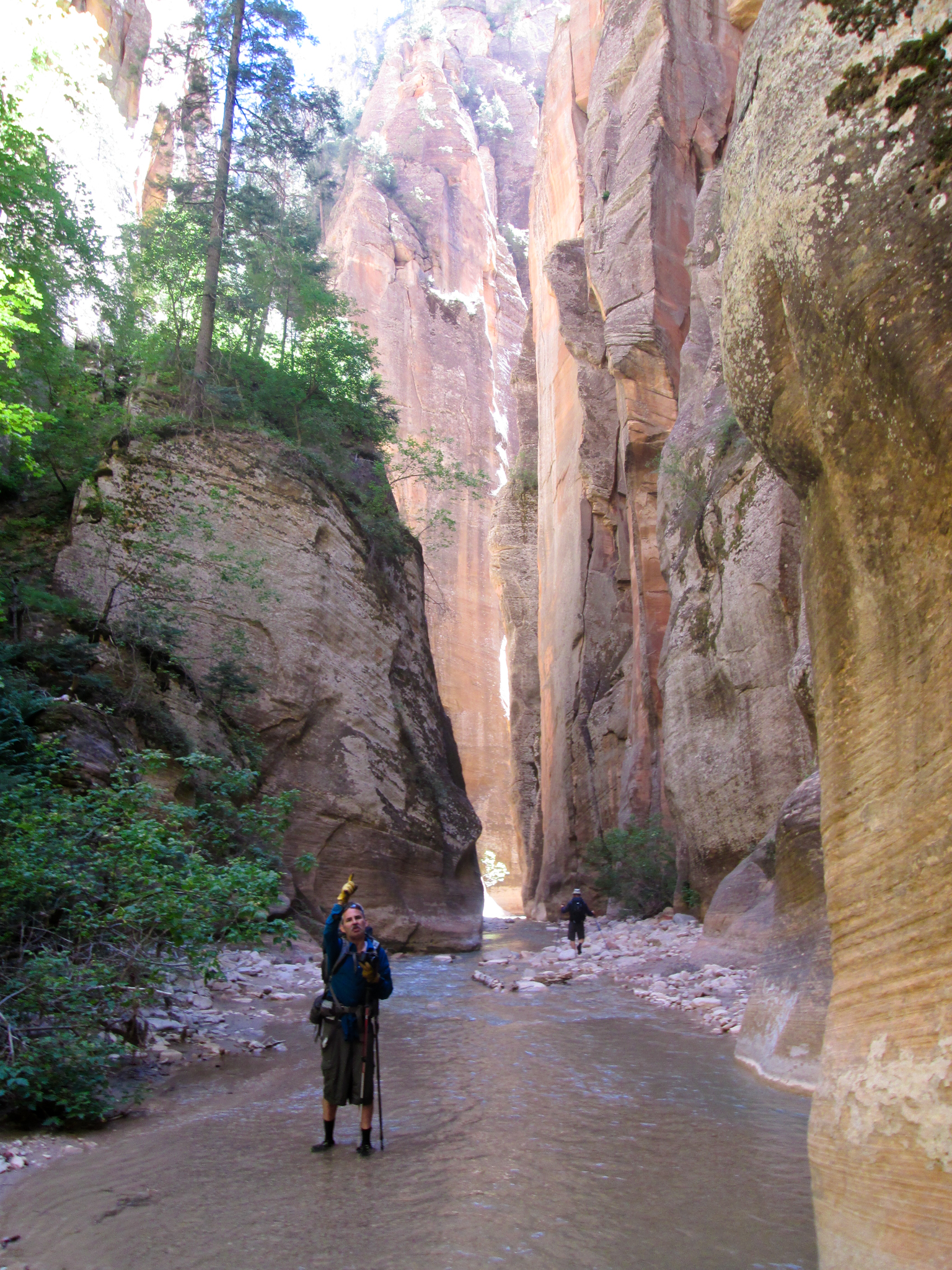
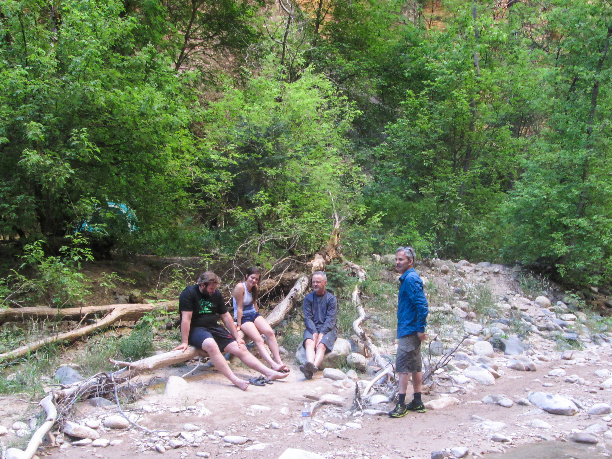
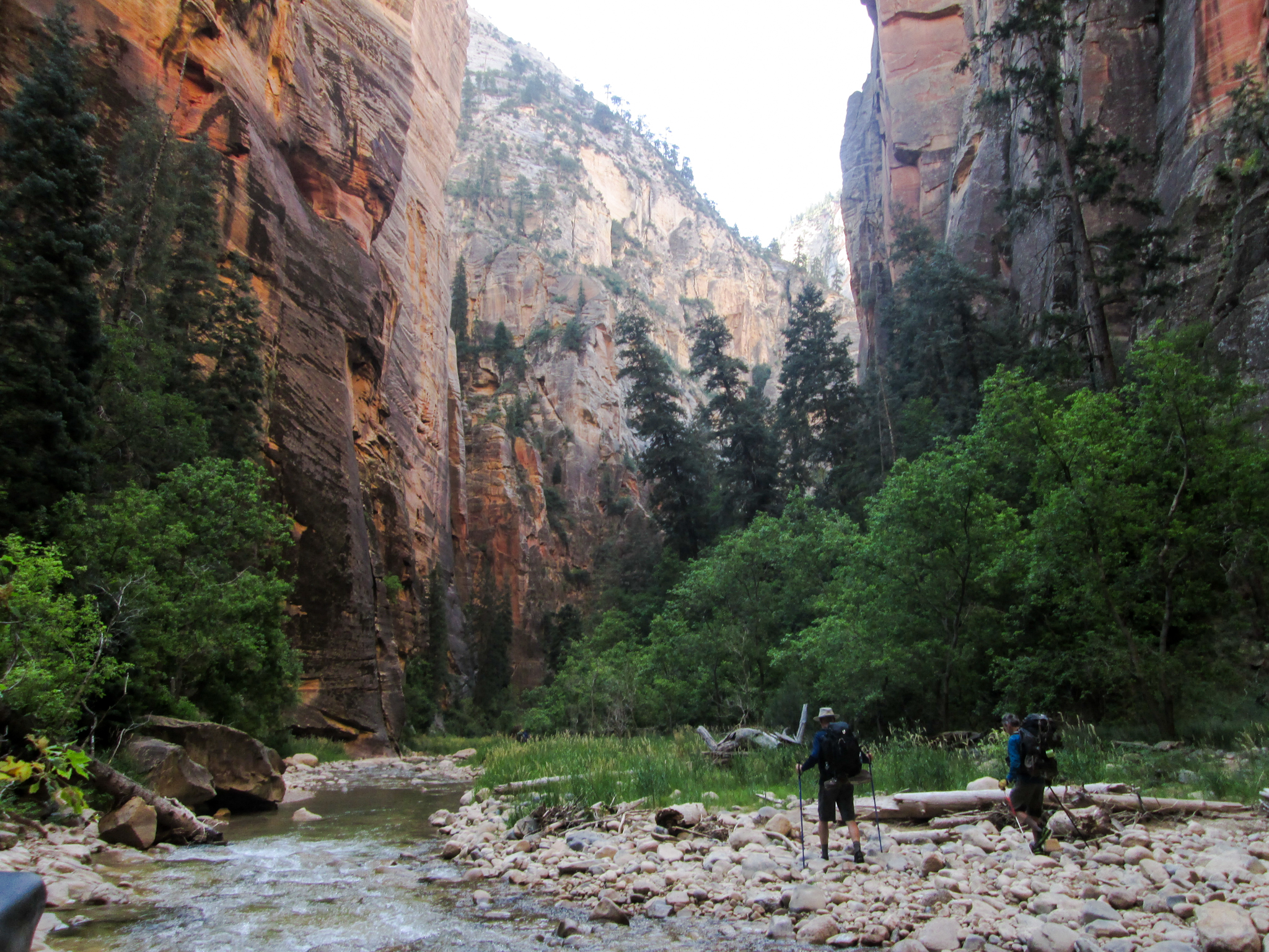
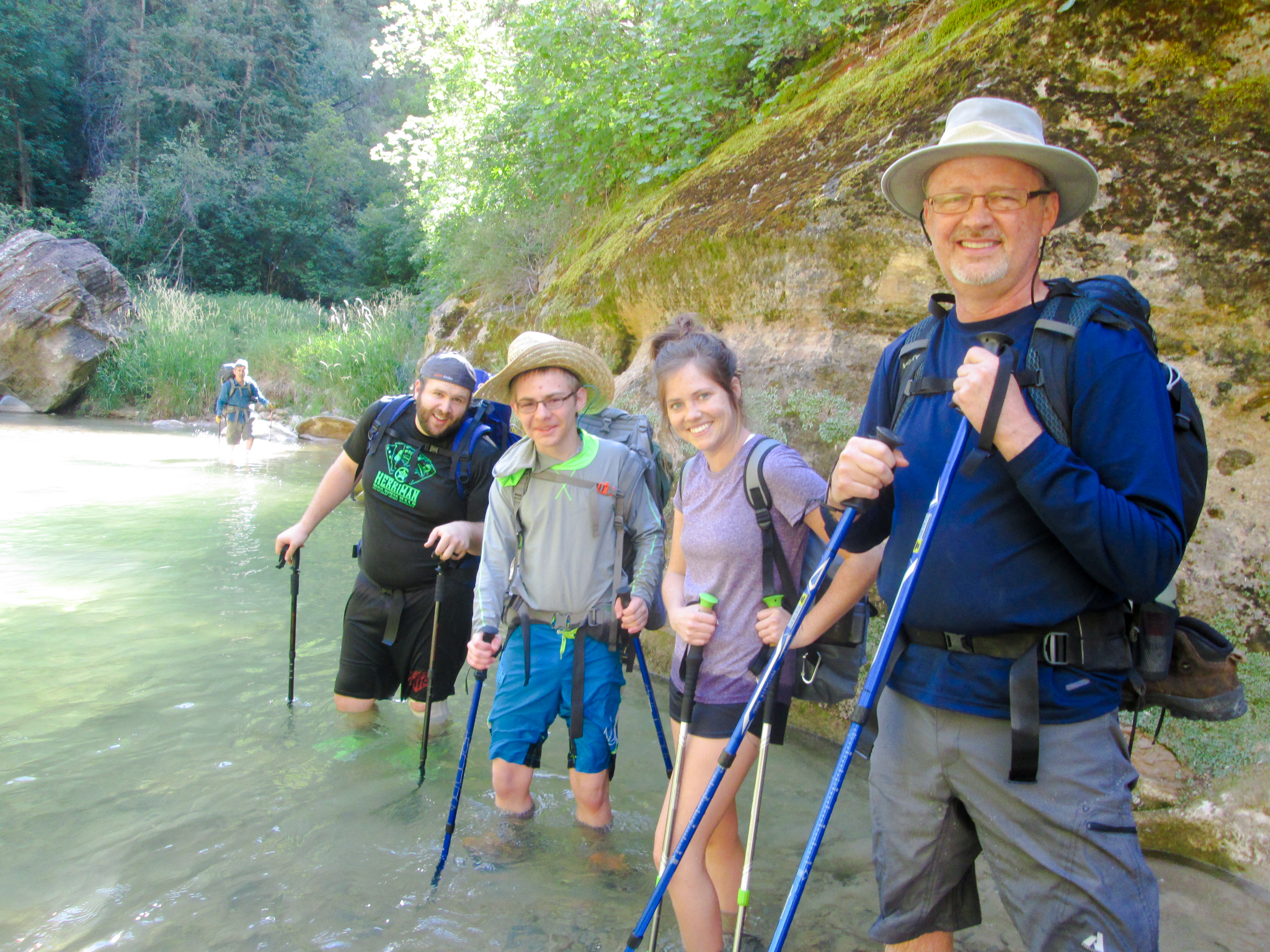
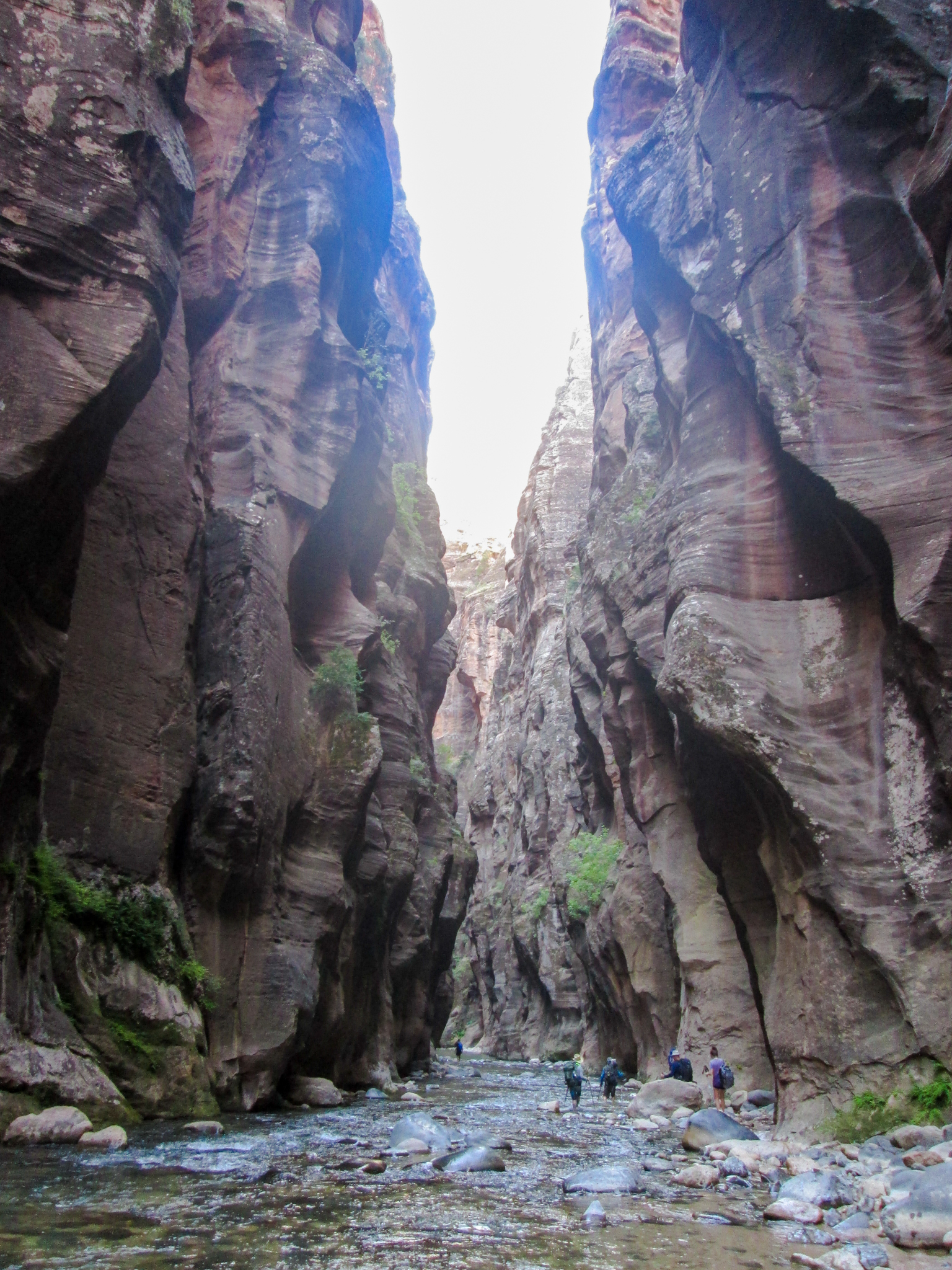
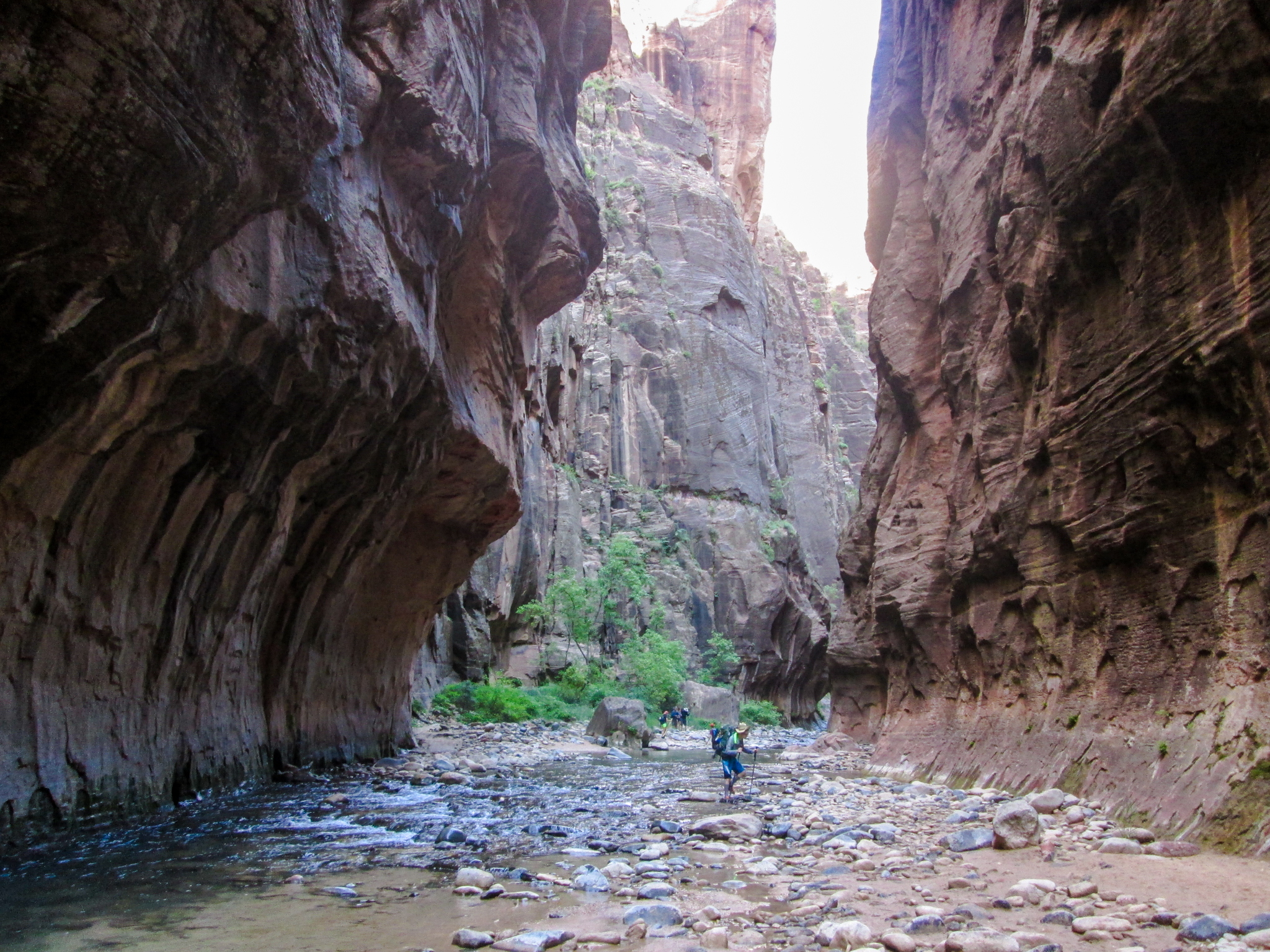
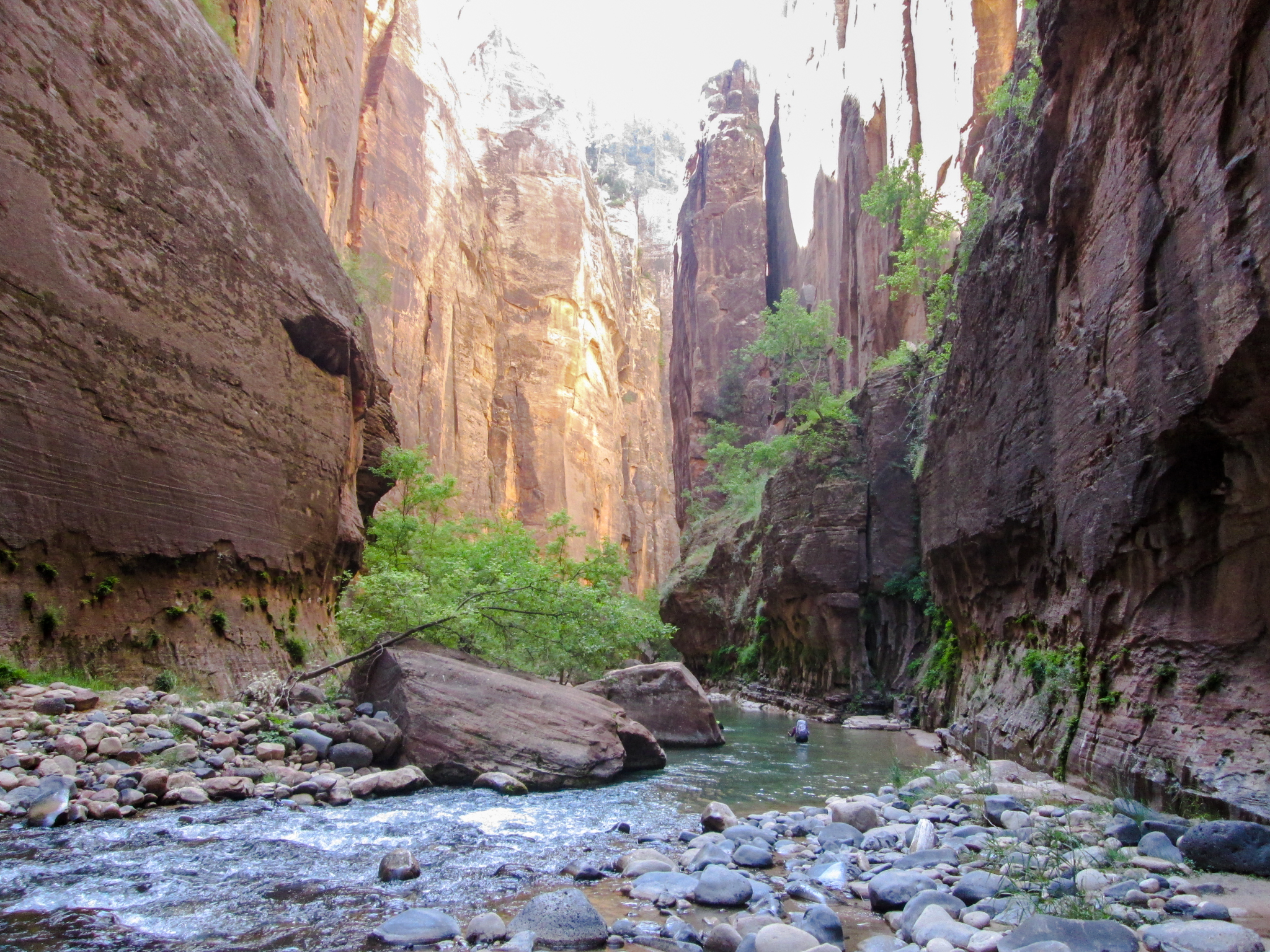
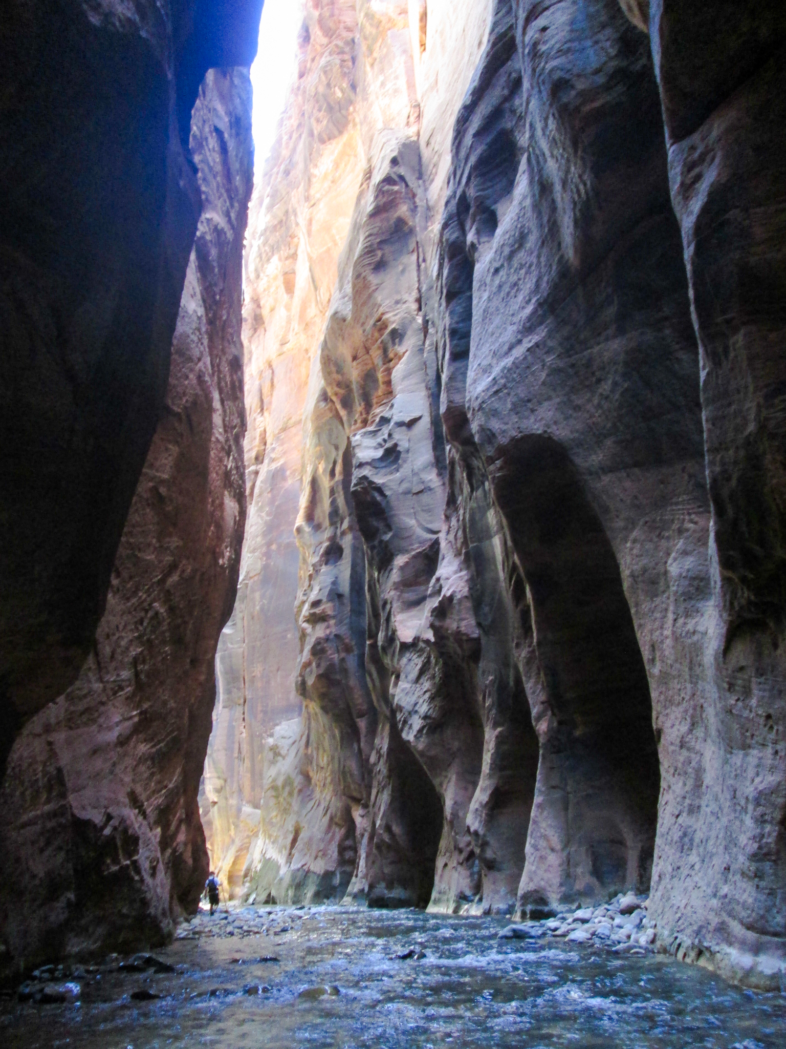
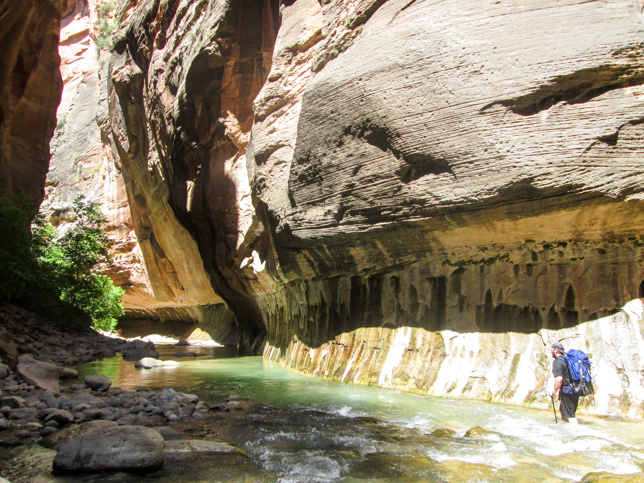
Day 5: Zion National Park to Richfield, Utah via Chamberlain Ranch

Screen Shot 2016-08-05 at 12.37.47 PM

Breakfast: granola out of a Ziploc bag, lunch: shelled pistachios at the Temple of Sinawava bus stop, dinner: DQ in Hurricane (again). Lodging: Comfort Inn in Richfield (one of the best budget hotels ever — super happy and helpful employees, room was very clean and modern-enough, wifi was strong, breakfast was a smorgasbord).

The Chamberlain Ranch dot looks like it’s in the wrong place. Oh well. It’s where we parked one of the two cars we needed for the shuttle situation required by the Narrows hike.

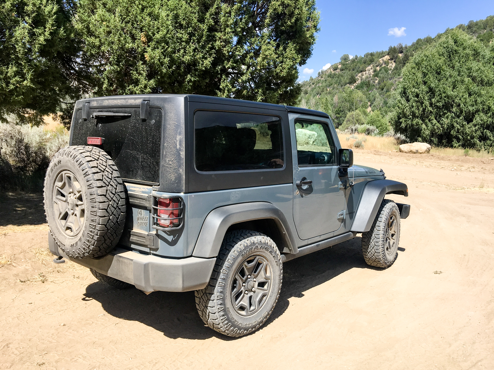
Trailhead parking lot:

Chamberlain Ranch trailhead parking lot

And back on the freeway:

I-70 East, Utah

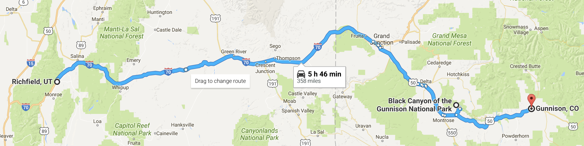
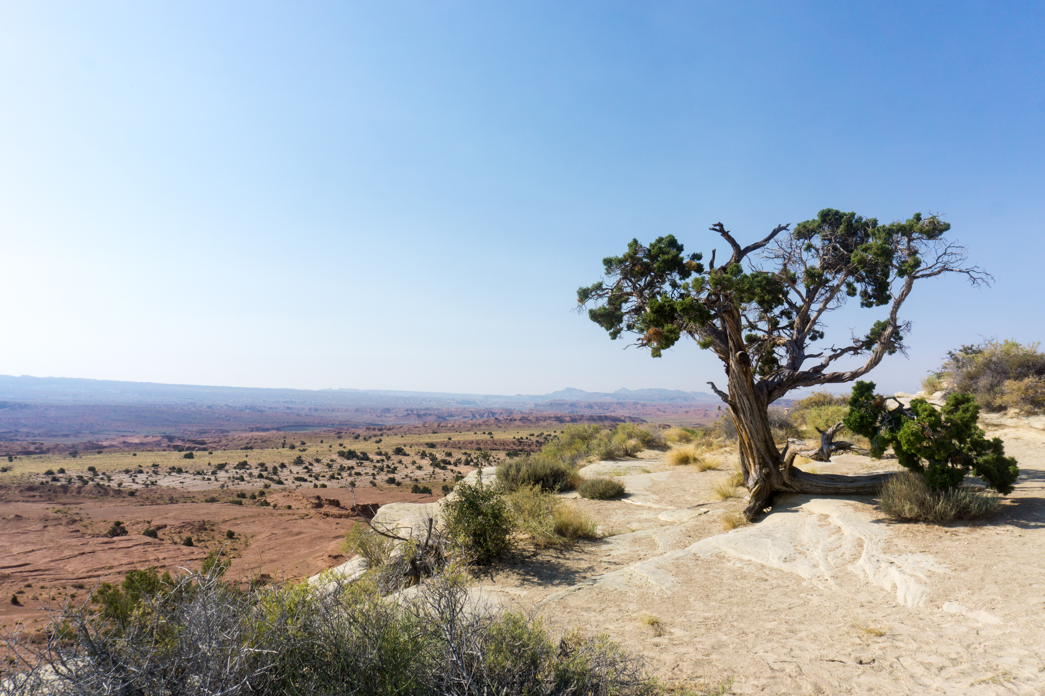
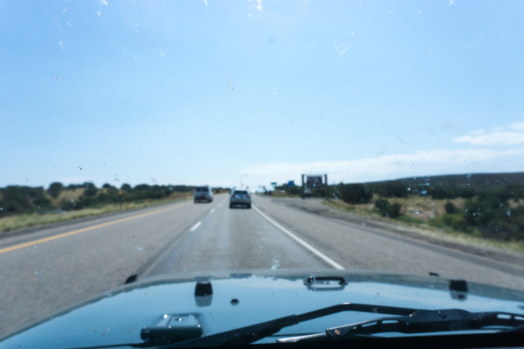
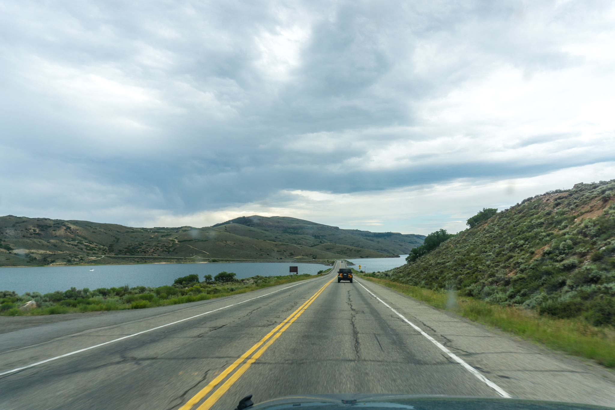
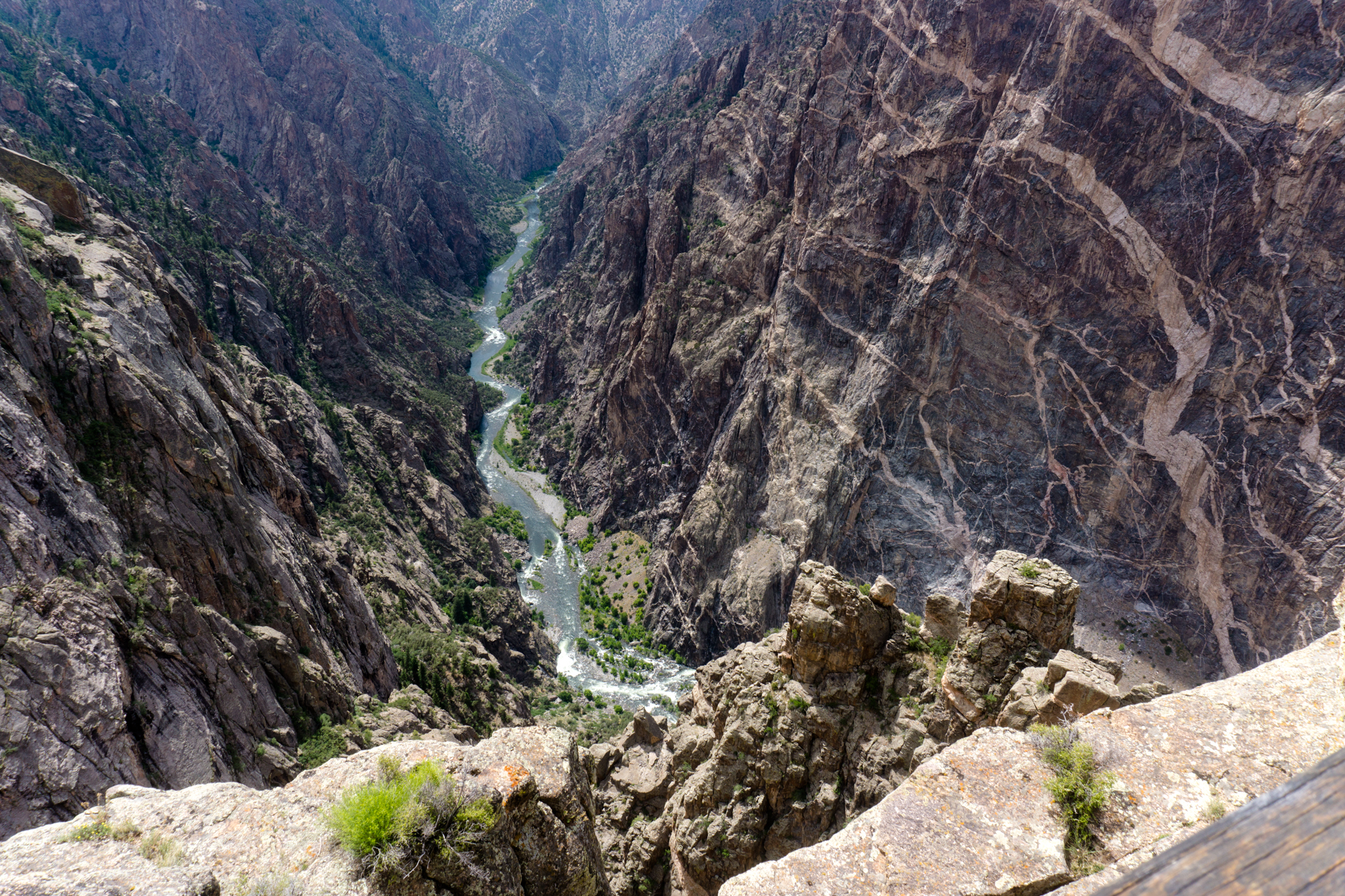
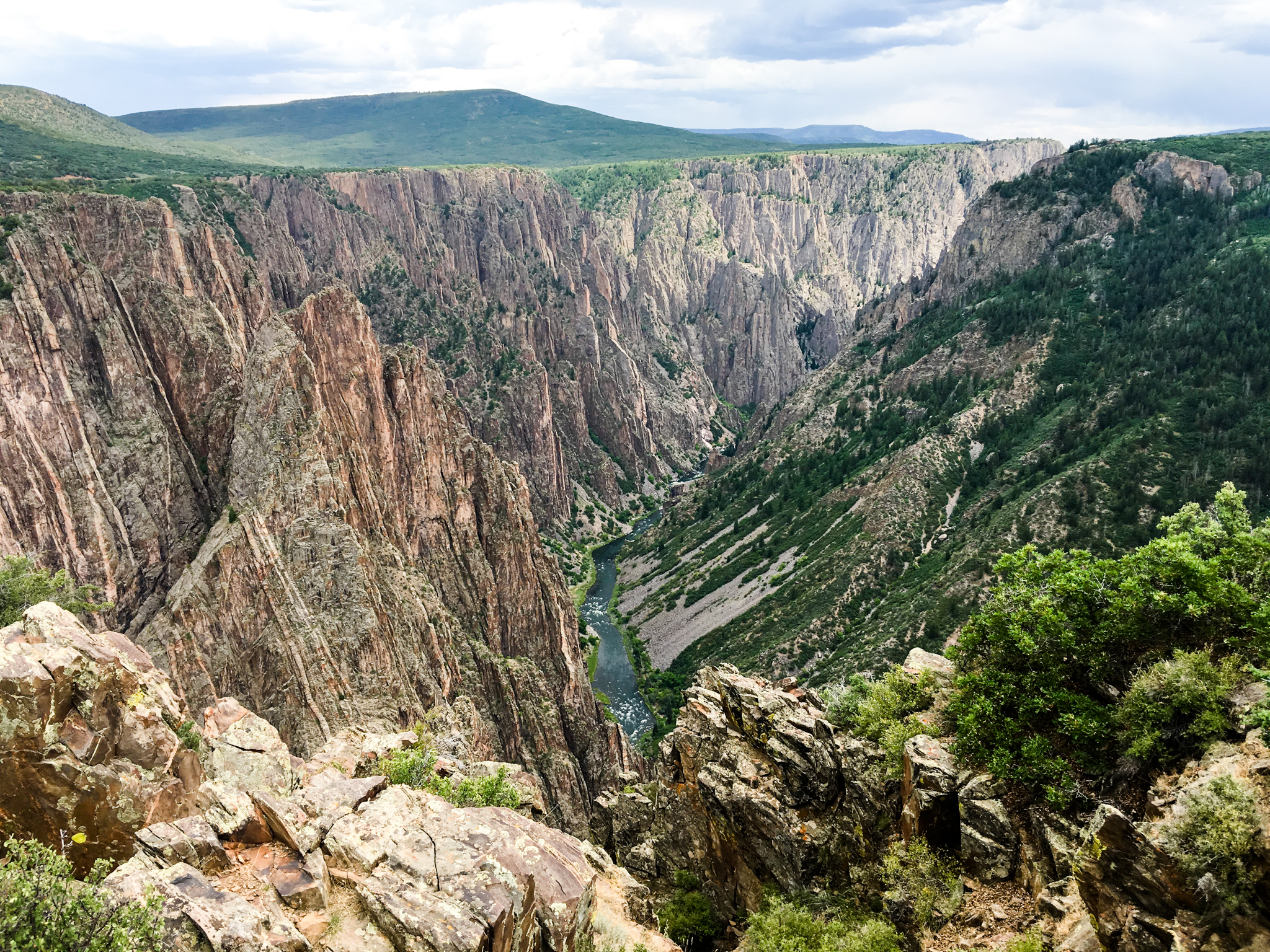
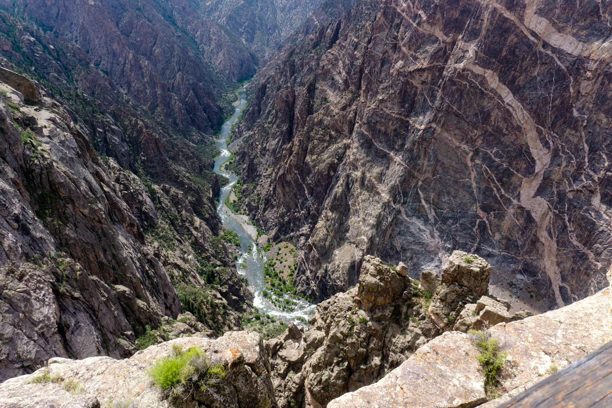
Day 6: Richfield, Utah to Gunnison, Colo. via Black Canyon of the Gunnison National Park

Screen Shot 2016-08-05 at 12.45.26 PM

Breakfast: Richfield Comfort Inn, rich and varied; lunch: KFC in Montrose, Colo. (neither rich nor varied); dinner: pb&j sandwich at the hotel in Gunnison. Lodging: Quality Inn, Gunnison. Gunnison had the attitude of a tourist town, but looked run-down. FWIW. Gas mileage up near 20 — maybe the engine finally got broke-in.

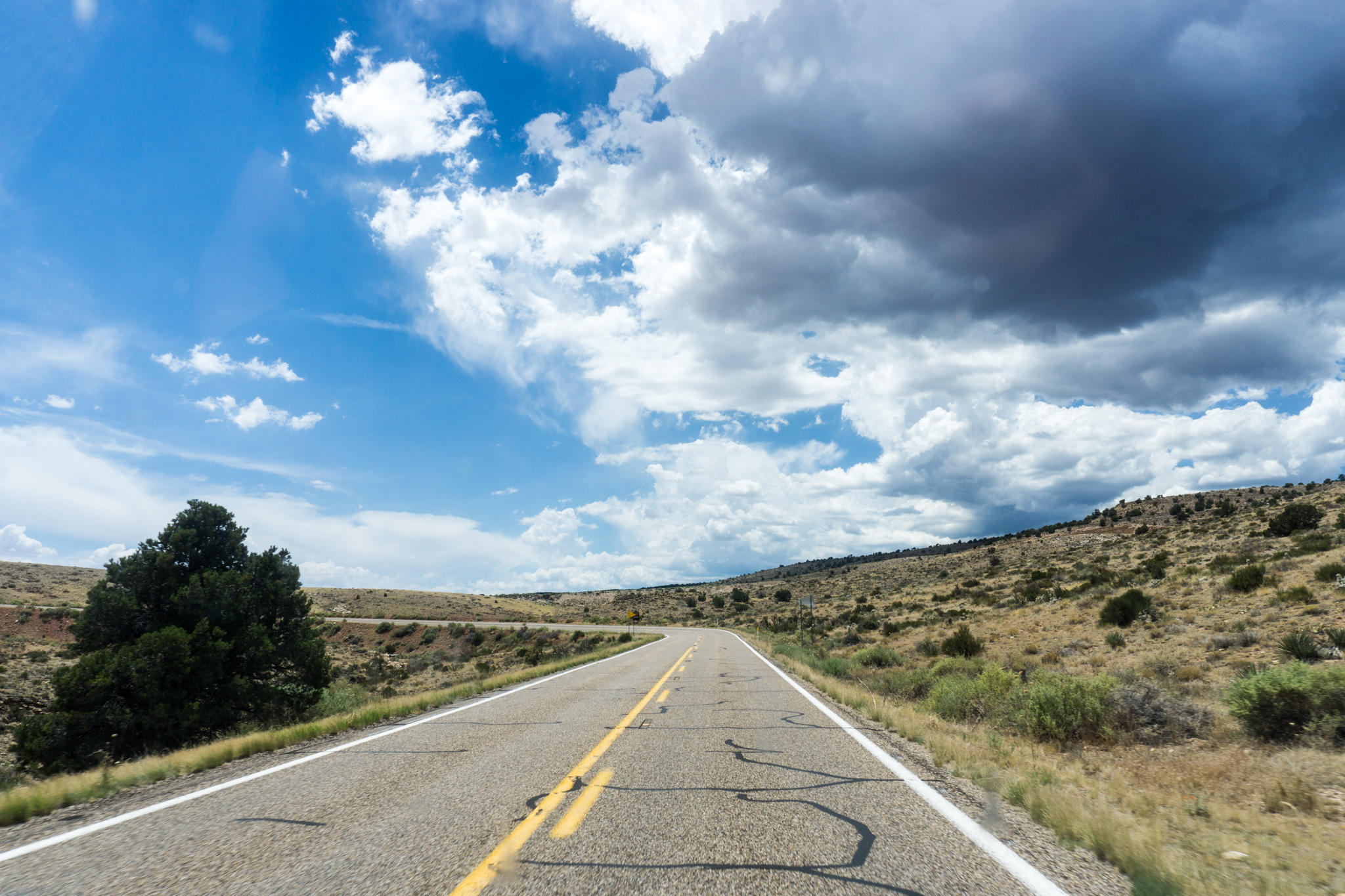
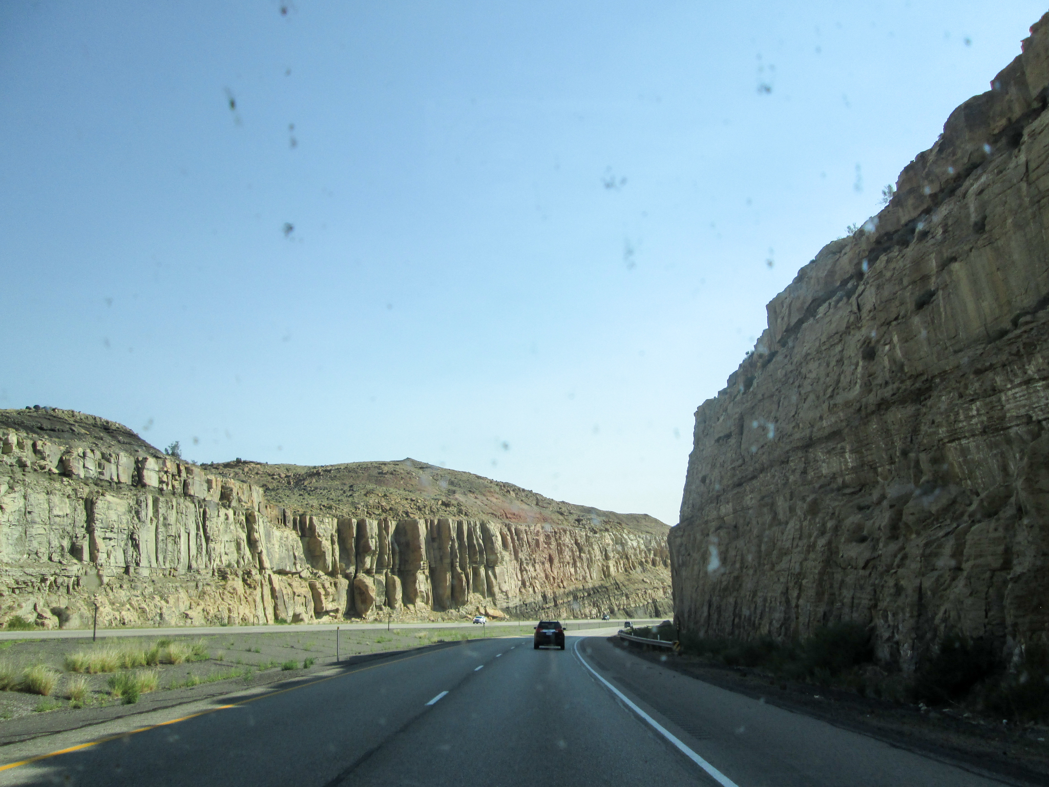
Also, I-70 from Richfield to where highway 191 cuts in is a gorgeous stretch of interstate. But when you drive it in the morning, the sun’s right in your windshield. Just: don’t hold the lack of quality photos in this section against that stretch of freeway. Which I know you were totally going to do if I hadn’t said something.

IMG_1682

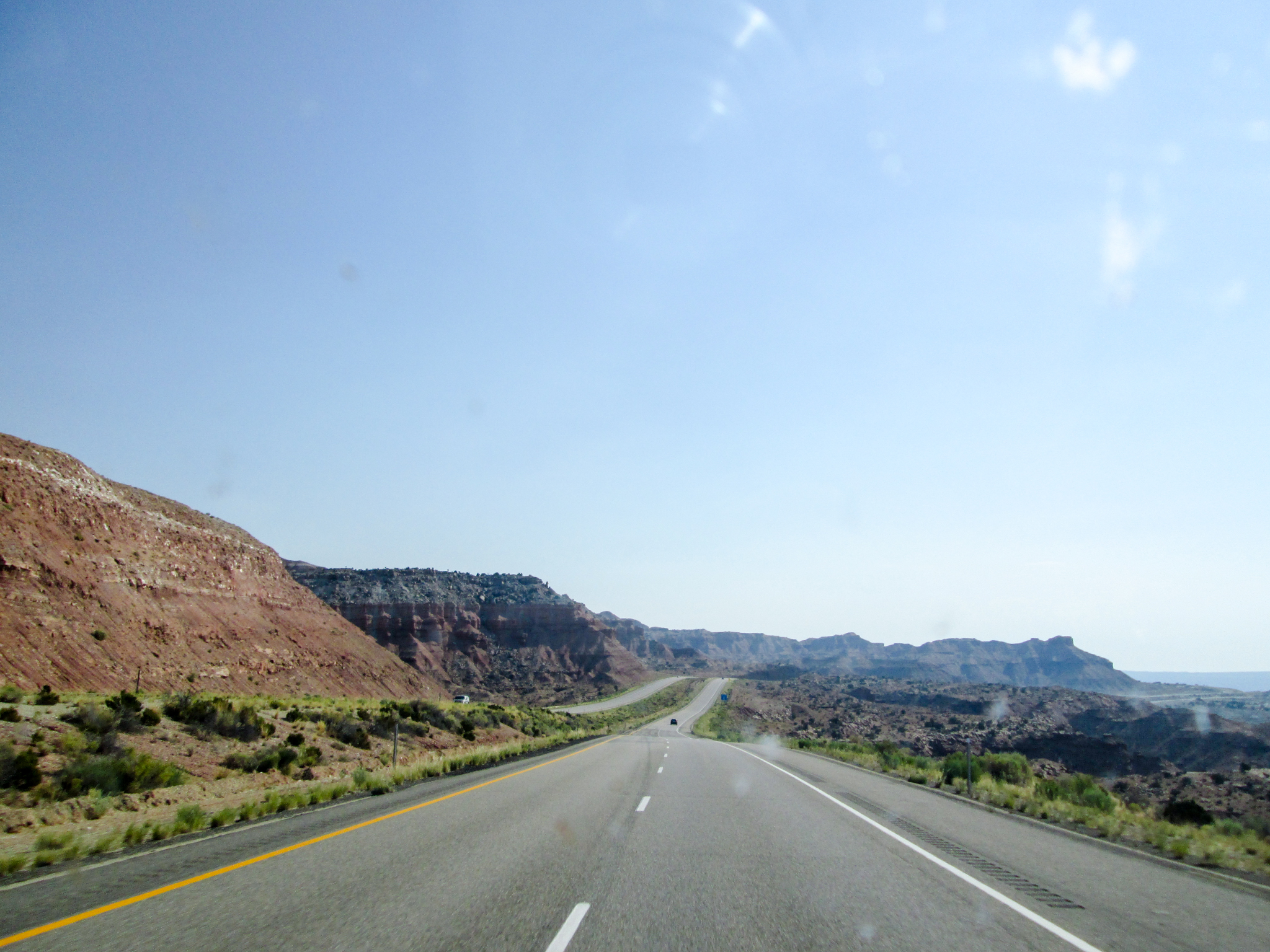
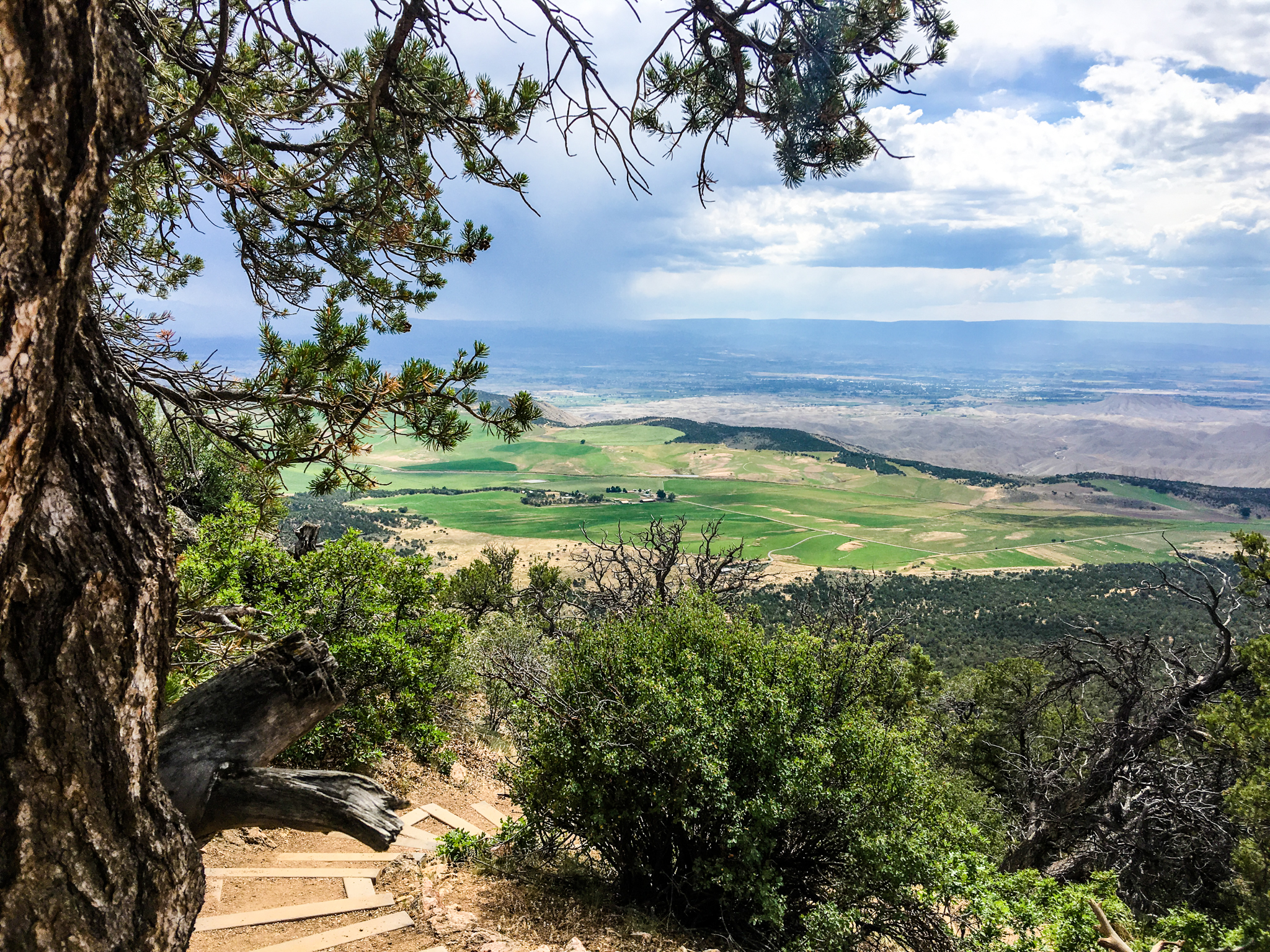
Viewpoint at the side of the freeway. Very desert:

DSC02444

IMG_1690

Pretty drive, photography hampered by the sun always being in the wrong place.

And, entering Colorado, splattered bugs say “hello”:

Entering Colorado. Splattered bugs say an in-focus hello.

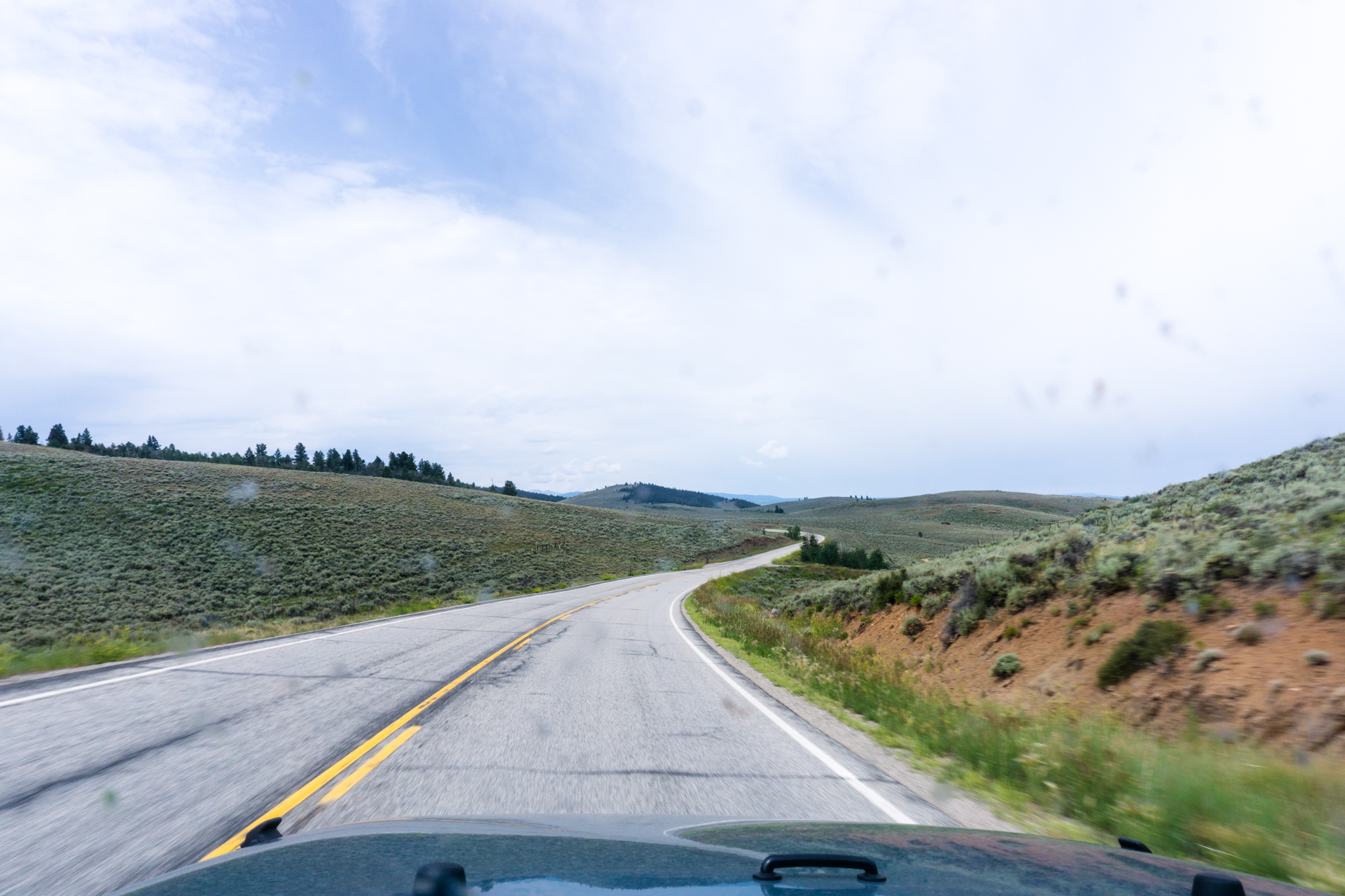
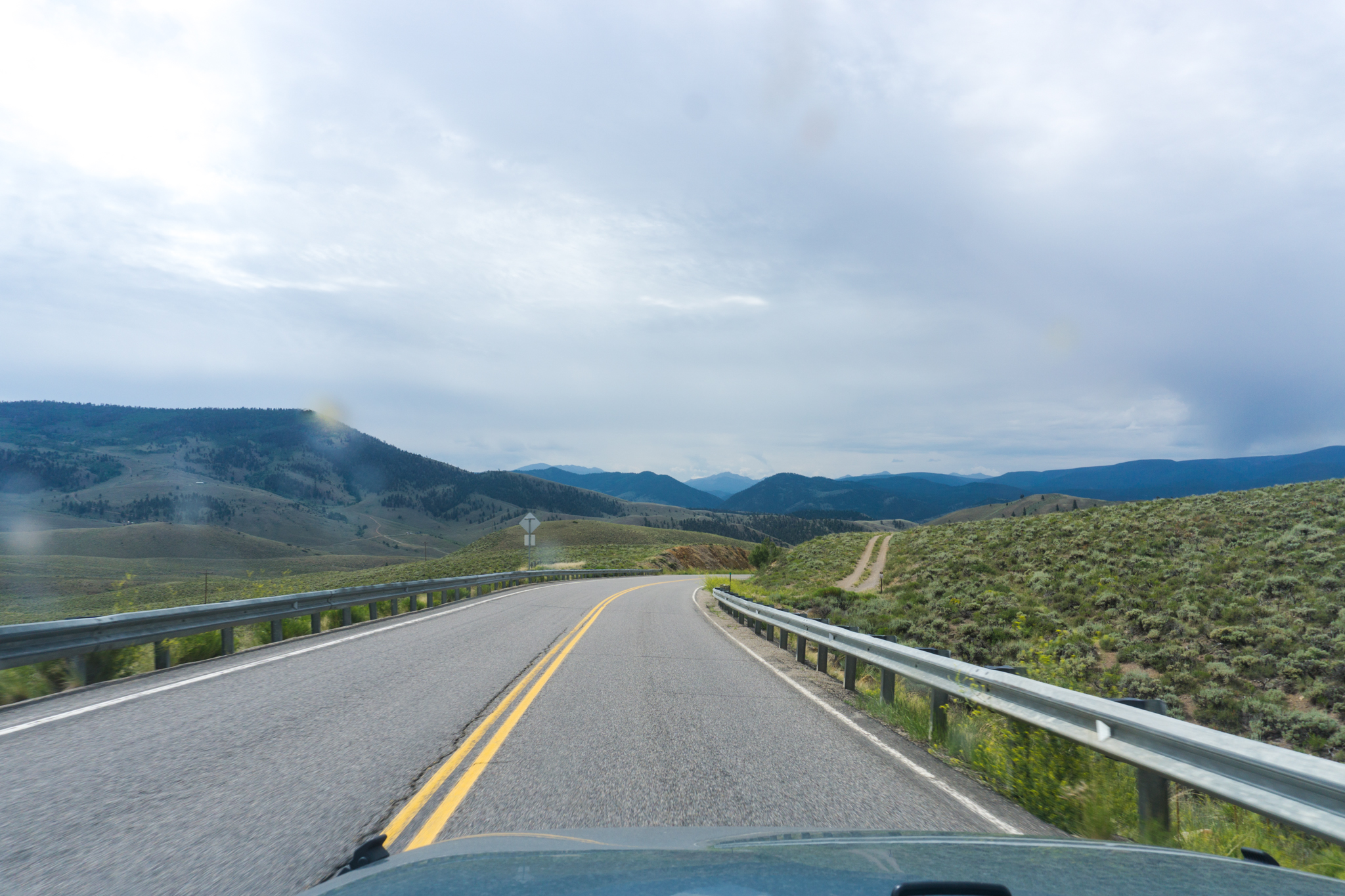
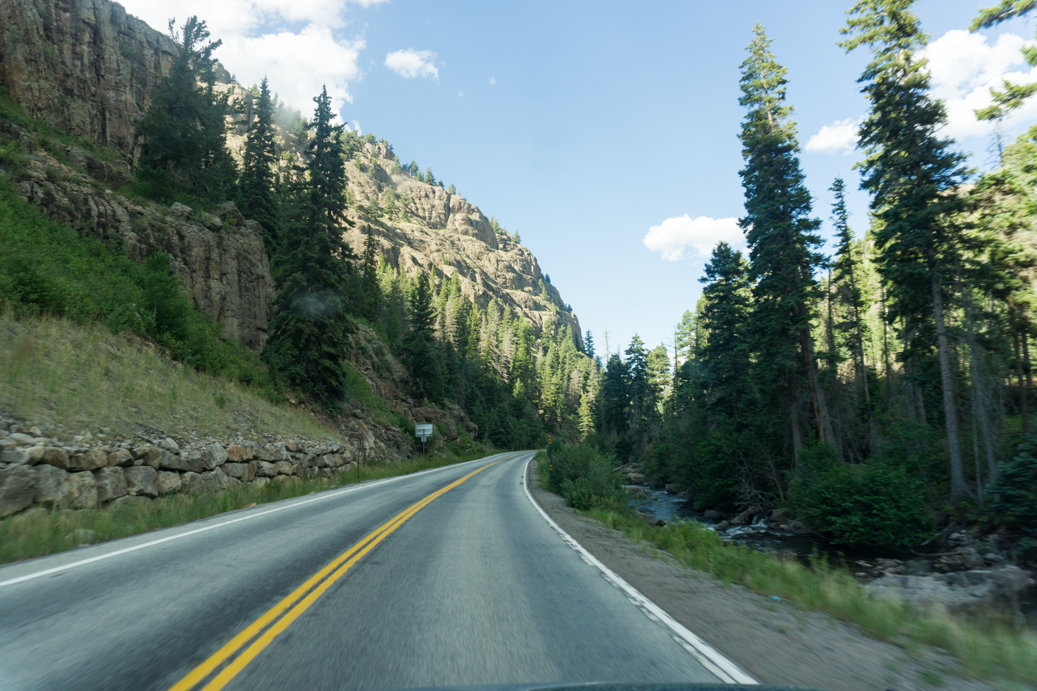
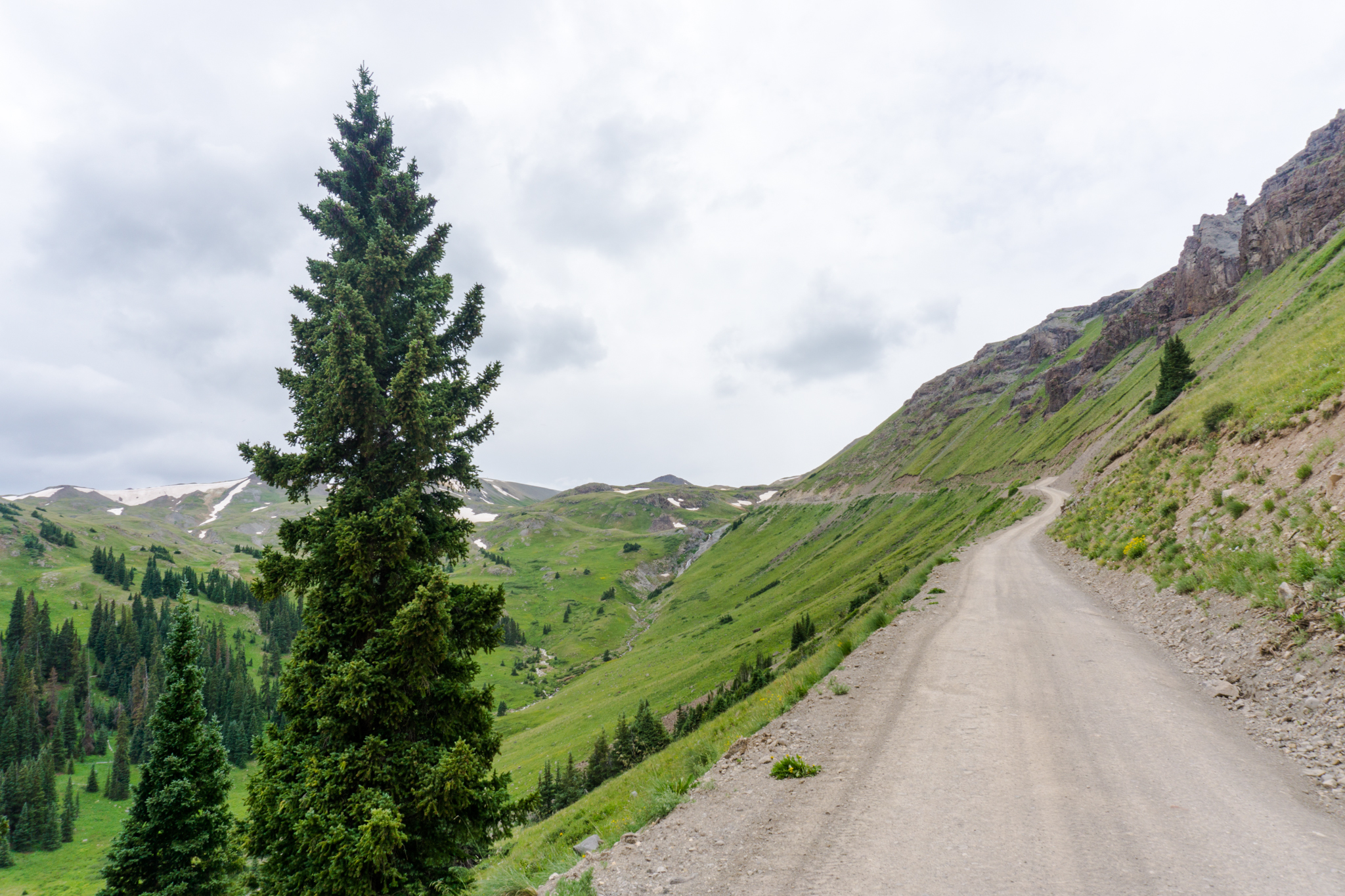
Day 7: Gunnison, Colo. to Lake City, Colo. via the Animas Forks

Screen Shot 2016-08-05 at 12.57.25 PM

Breakfast: Quality Inn (was okay), lunch: pb&j again?, dinner: Mountain House Spaghetti in Meat Sauce (that had expired in 2013). Lodging: Mill Creek Campground Site #21, the last campsite available and the only one in the campground with insufficient trees for privacy (it was fine, the neighbors were discrete).

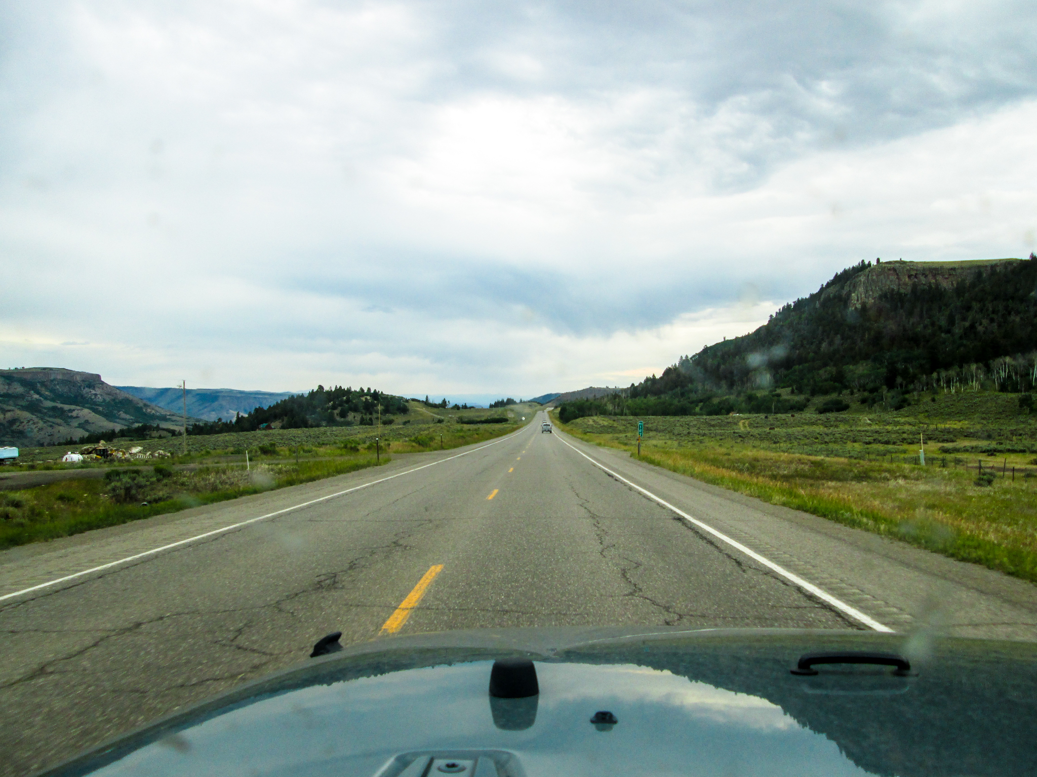
The drive from Gunnison to Lake City was a nice one, aside from the guy who was driving full-speed in the wrong lane for not reason (I moved over to the left lane to get around him, he decided that he, after all, wanted to be in that lane, so I corrected back into the right lane and we missed each other by, oh, less than a car length anyway; then he went back to driving in the wrong lane for no apparent reason). (I assume it was a he.)

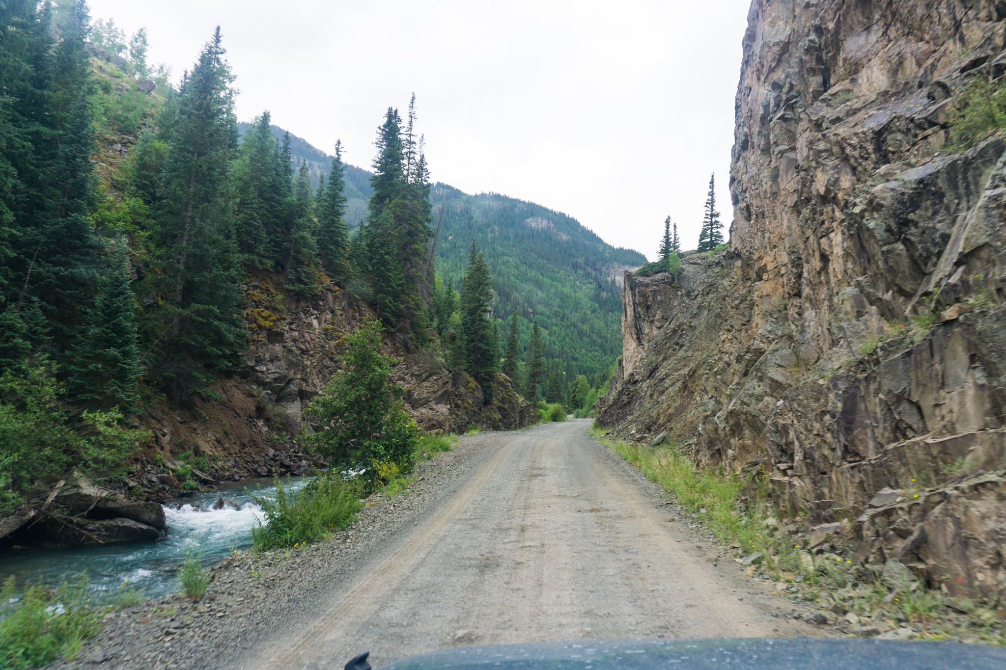
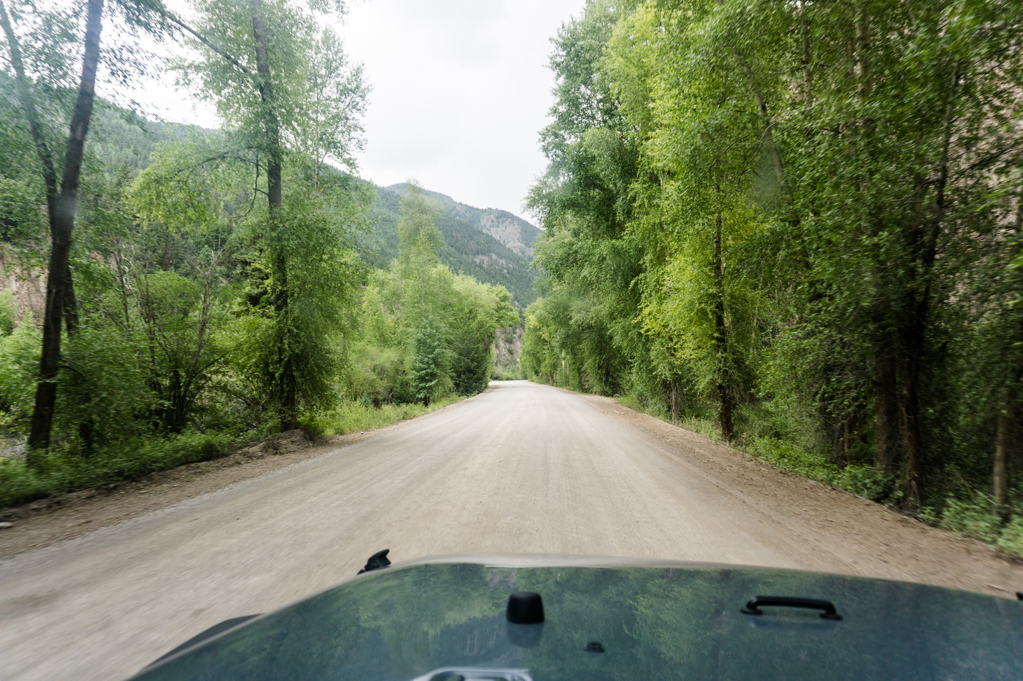
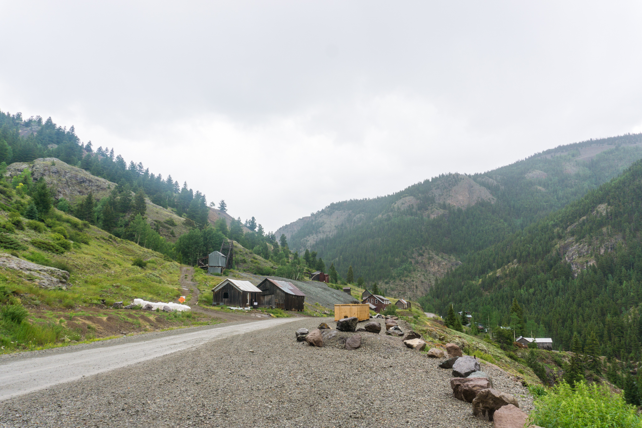
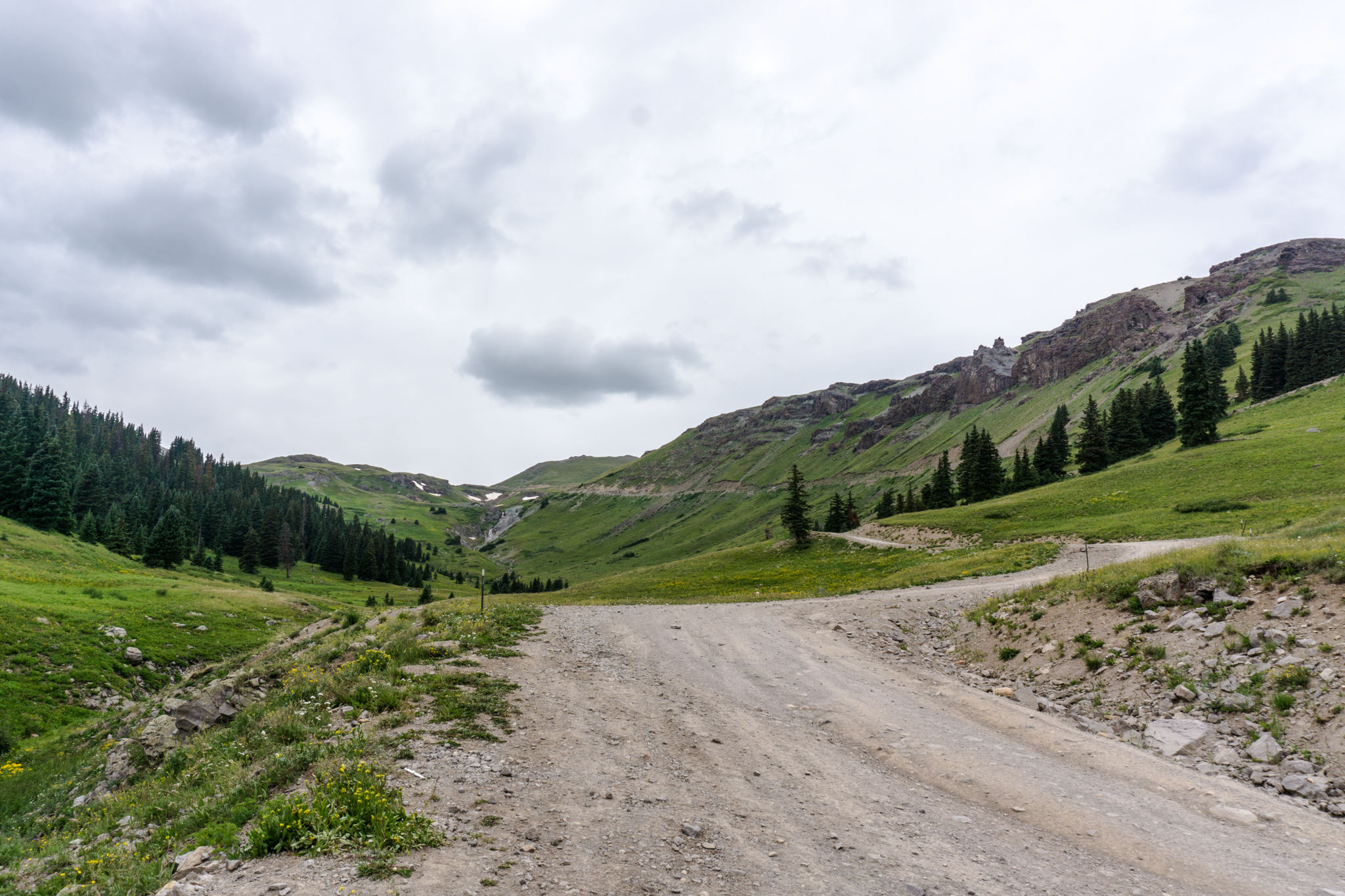
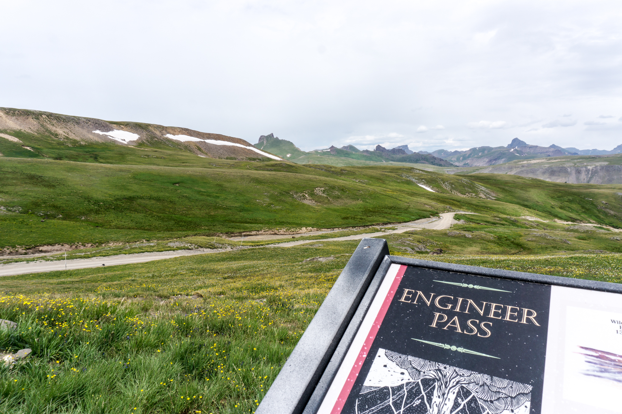
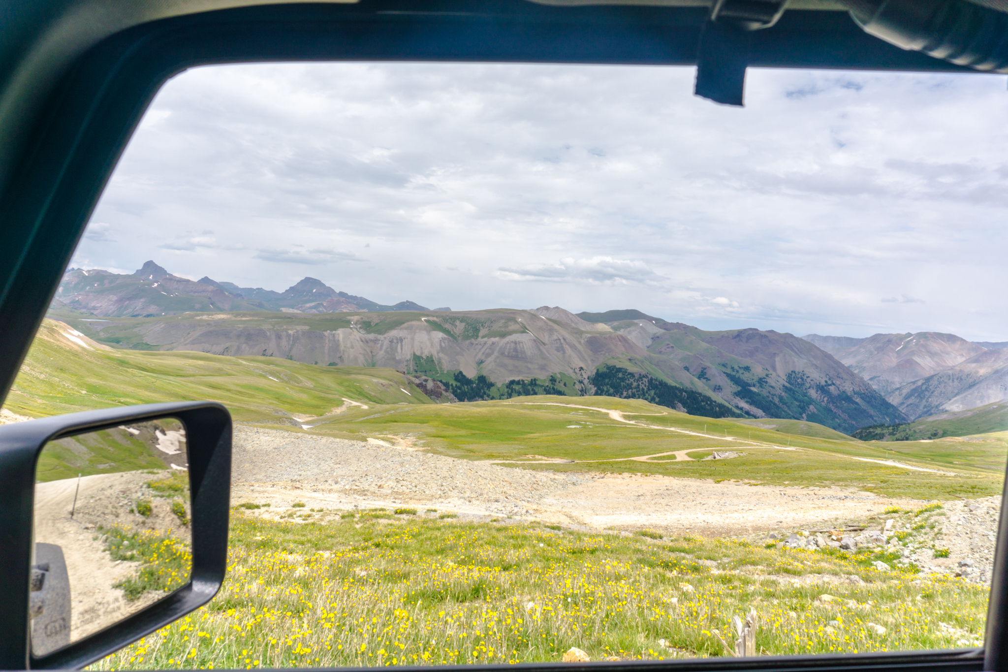
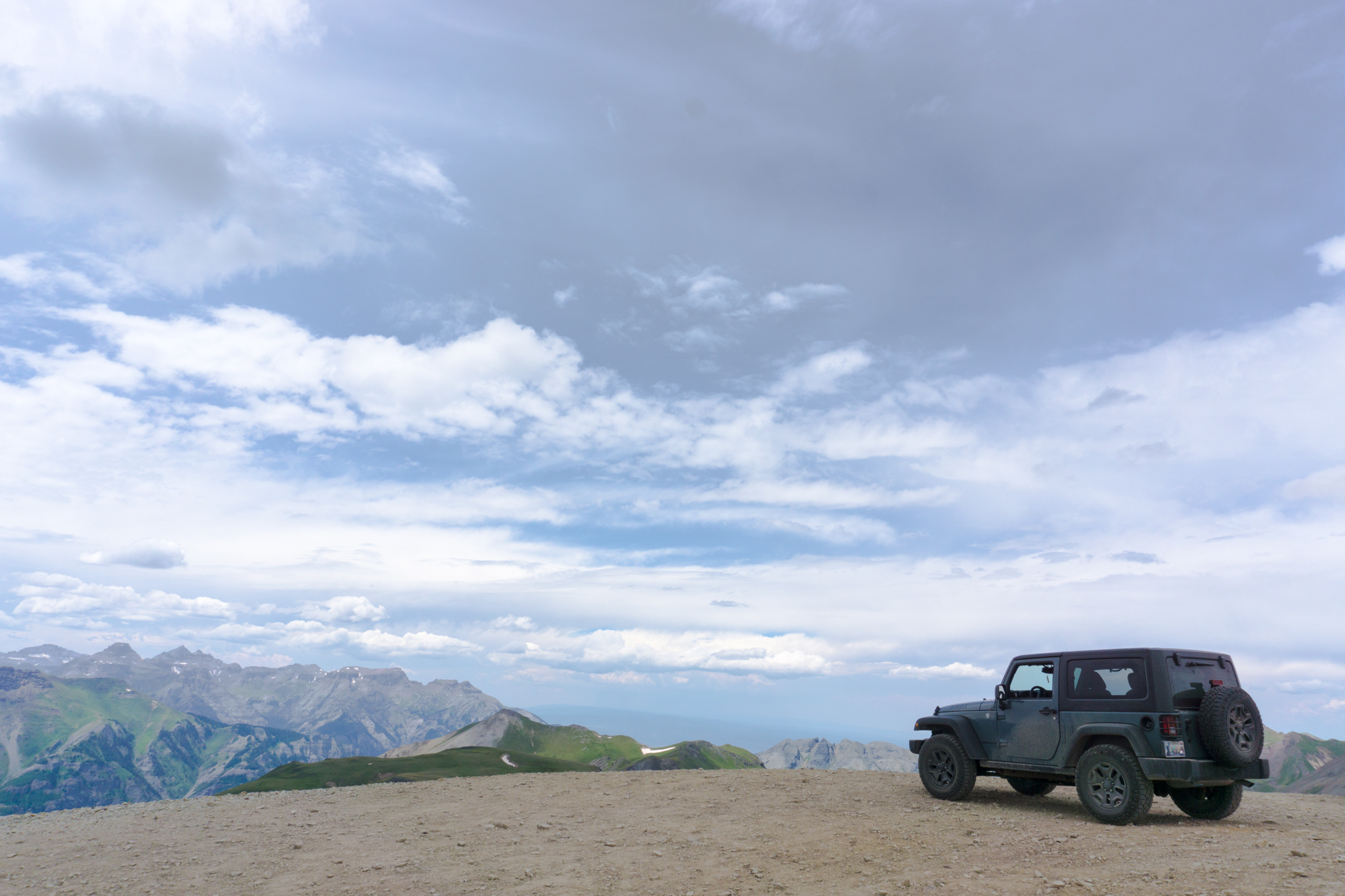
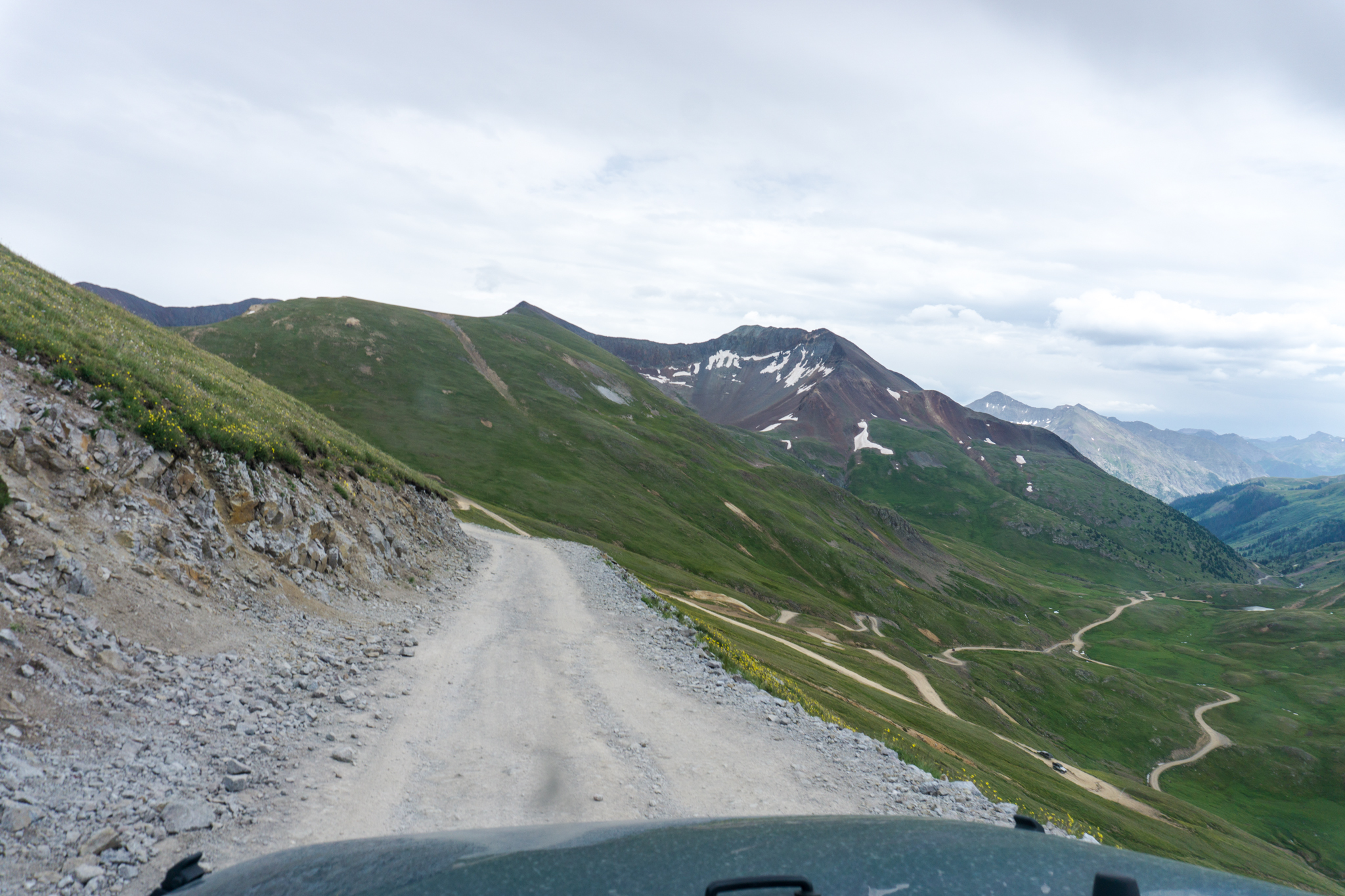
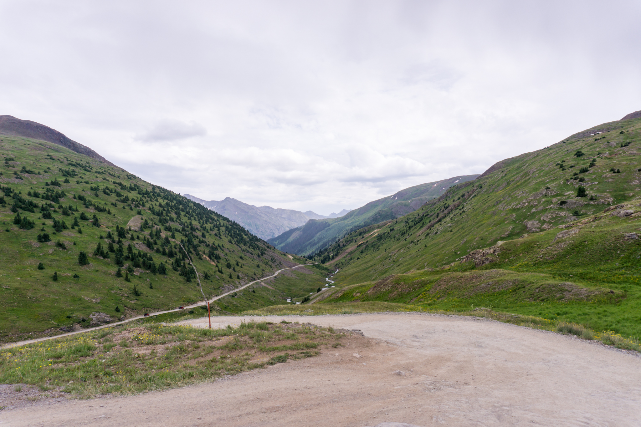
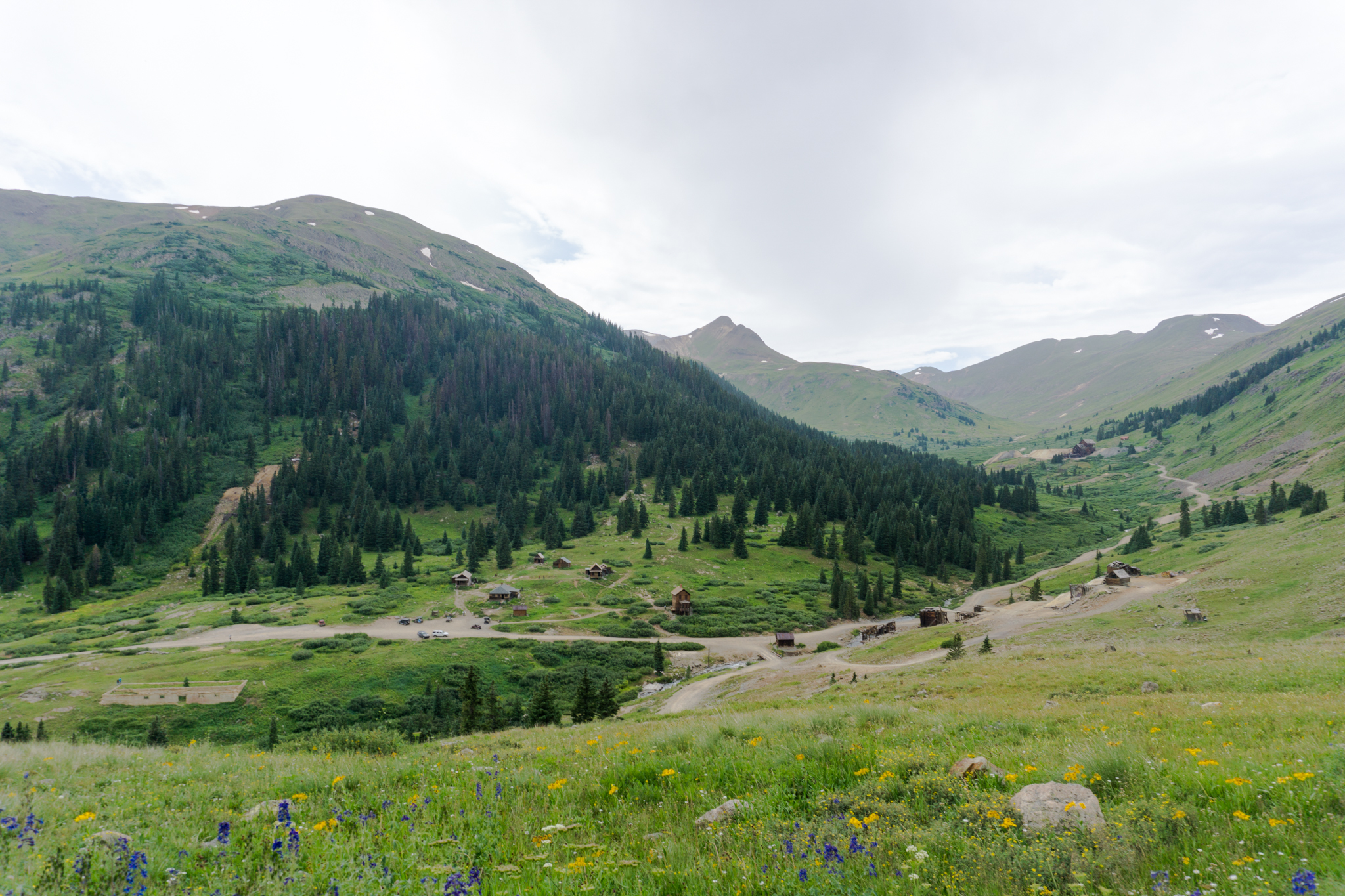
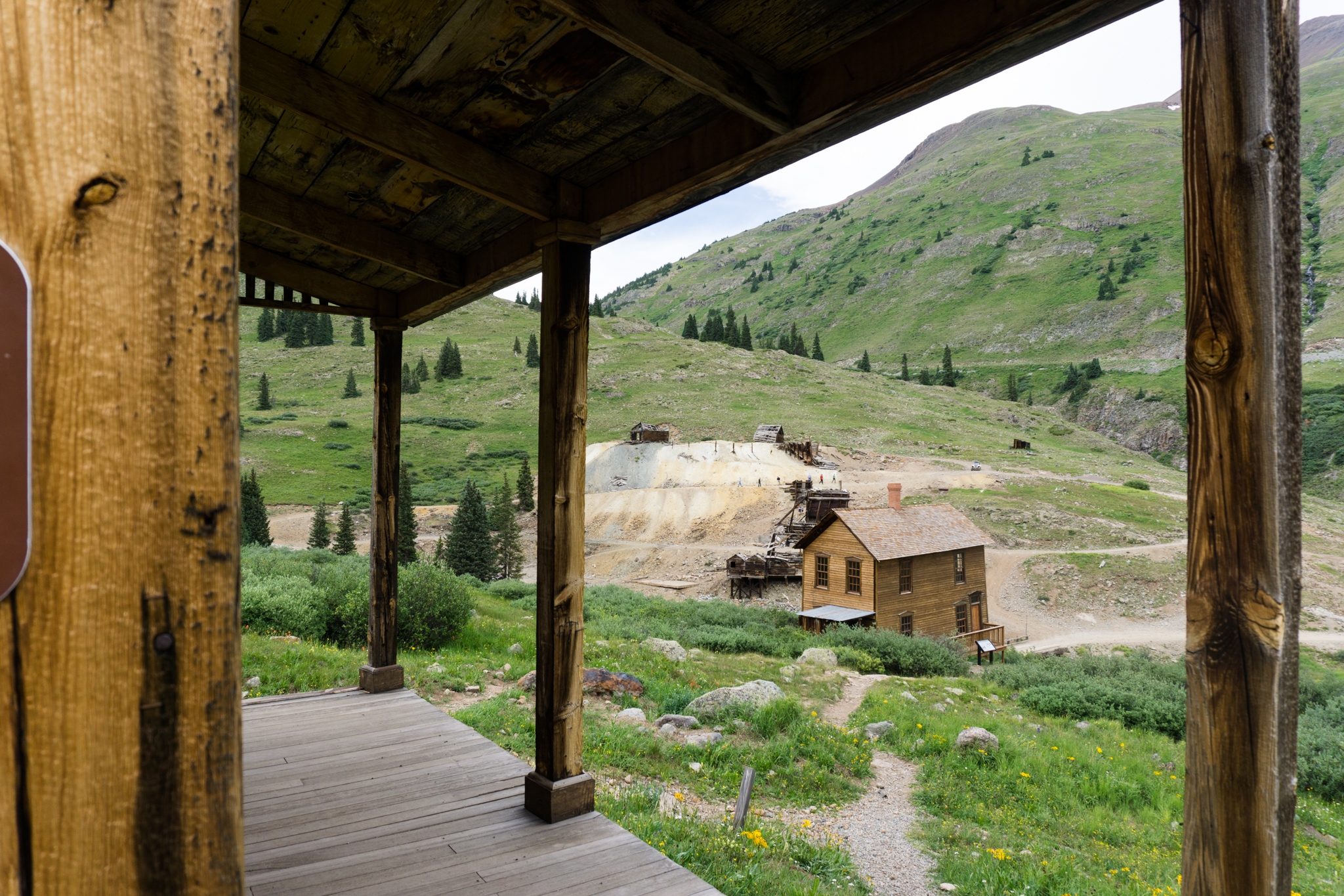
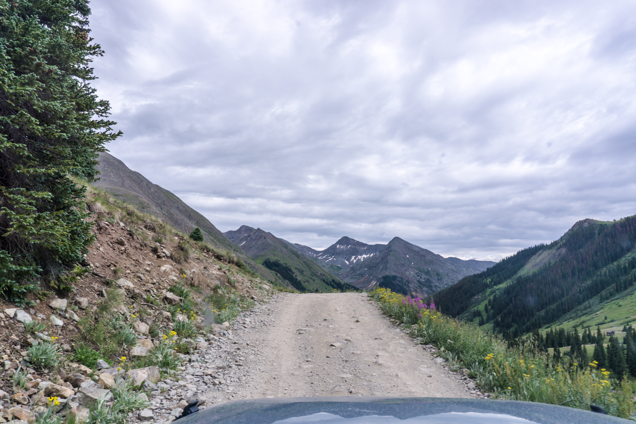
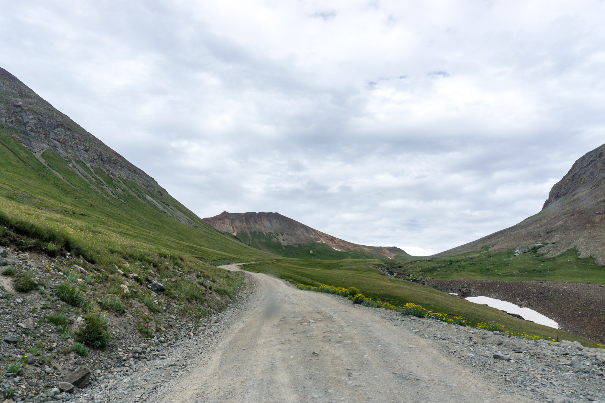
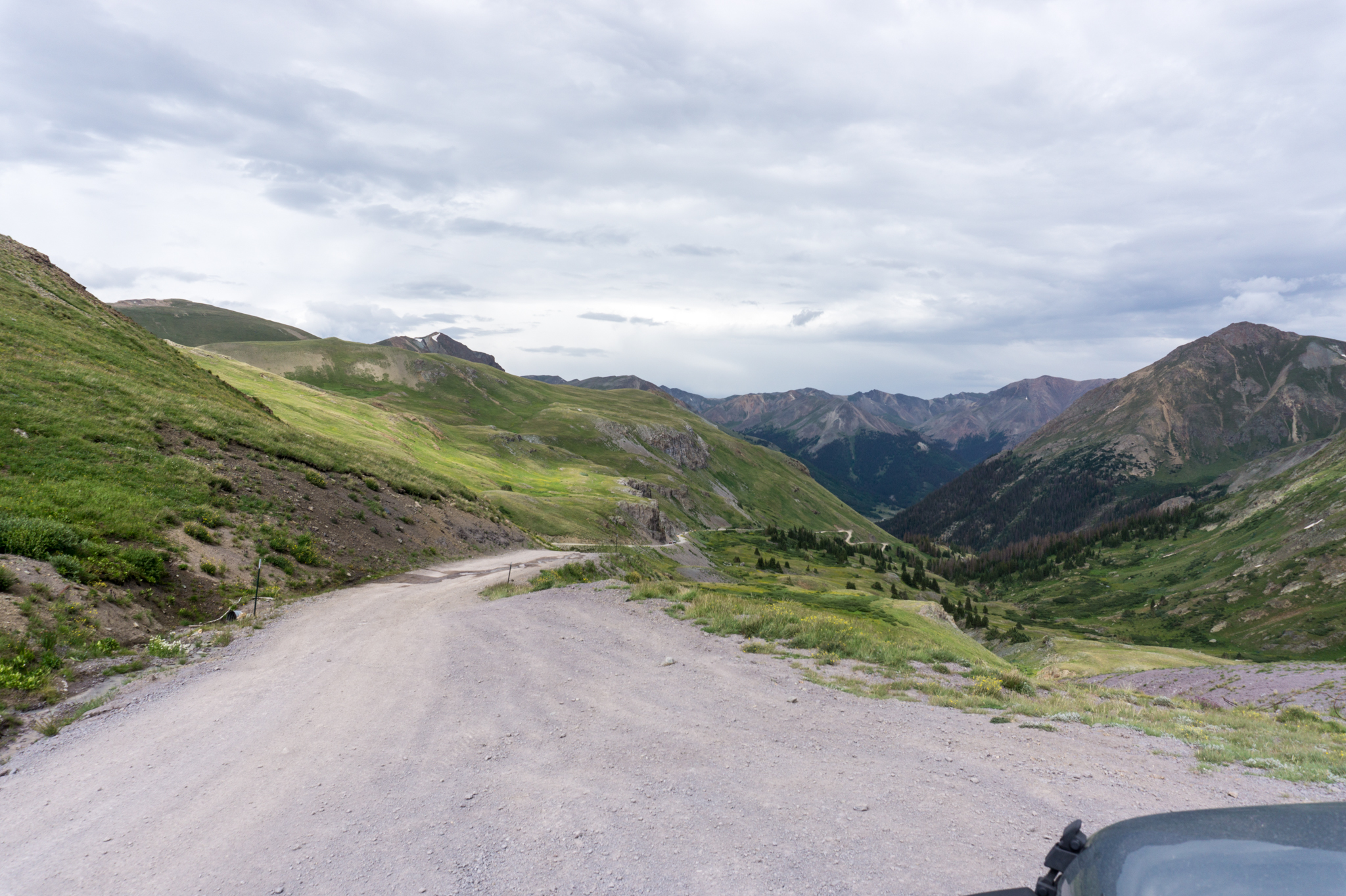
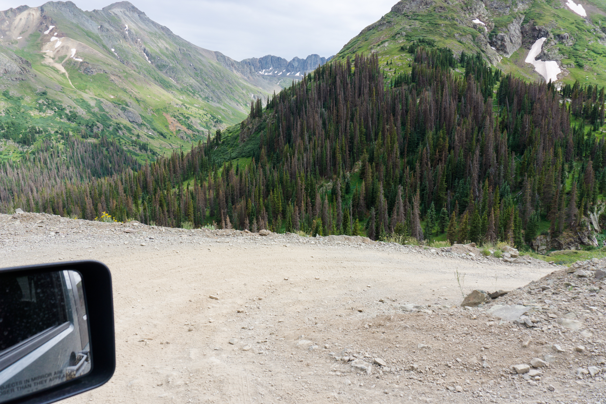
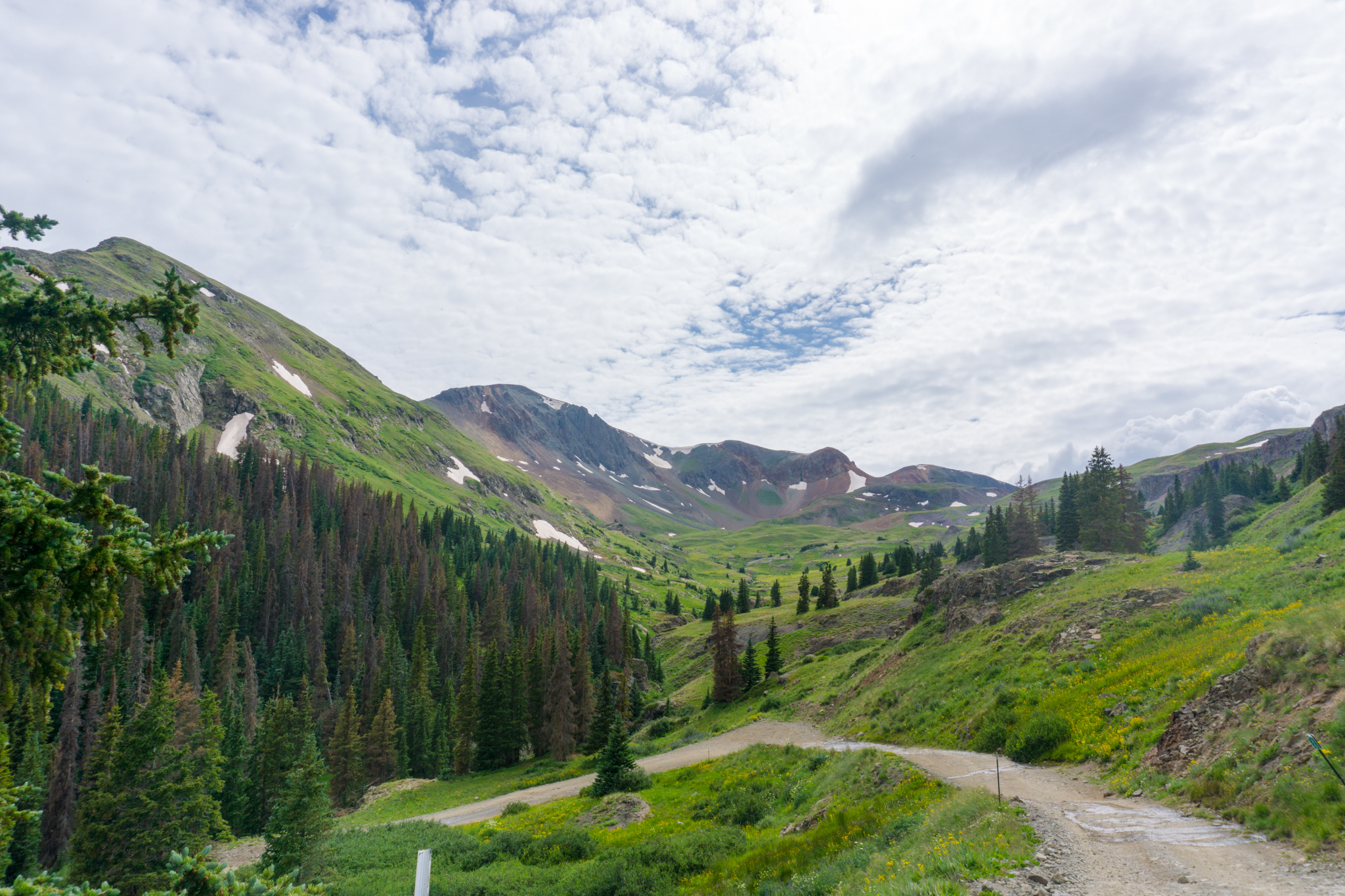
I chronicled elsewhere the Alpine Loop off-highway drive to Animas Forks, but, rest assured, it was also awesome and scenic.

Here, all vehicles are in their correct lanes:

Gunnison to Lake City

DSC02469

DSC02472

DSC02478

DSC02484

DSC02506

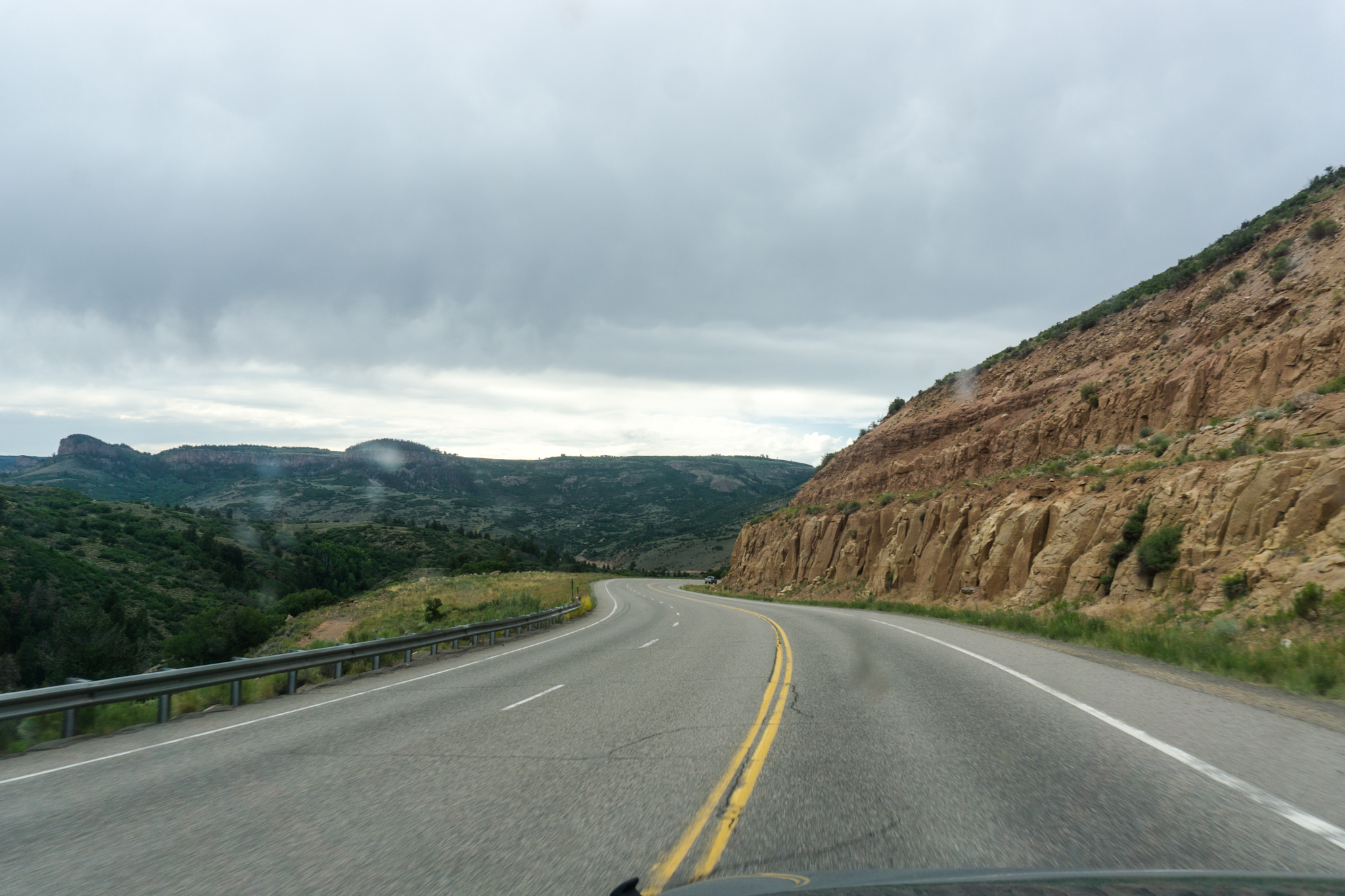
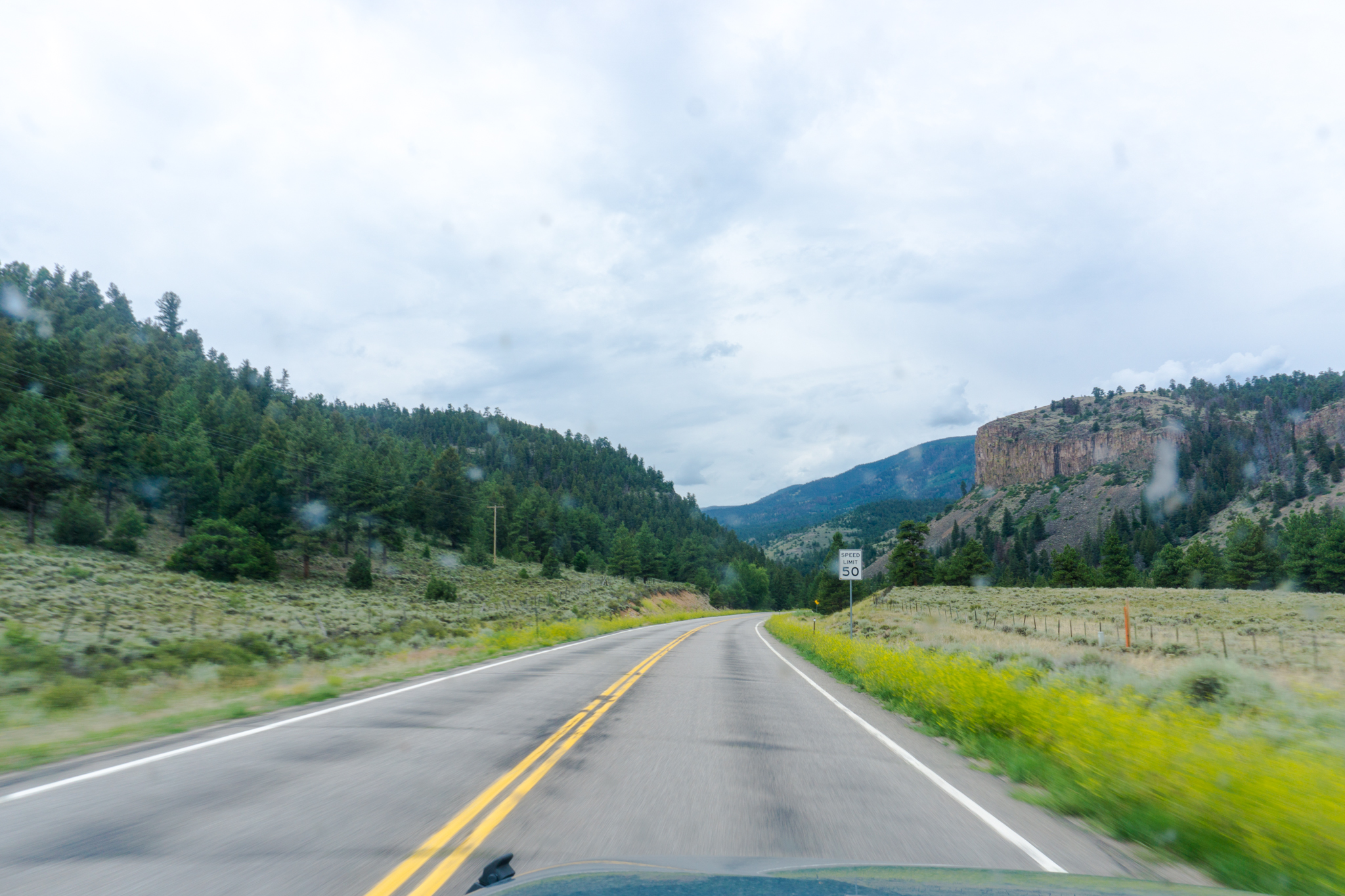
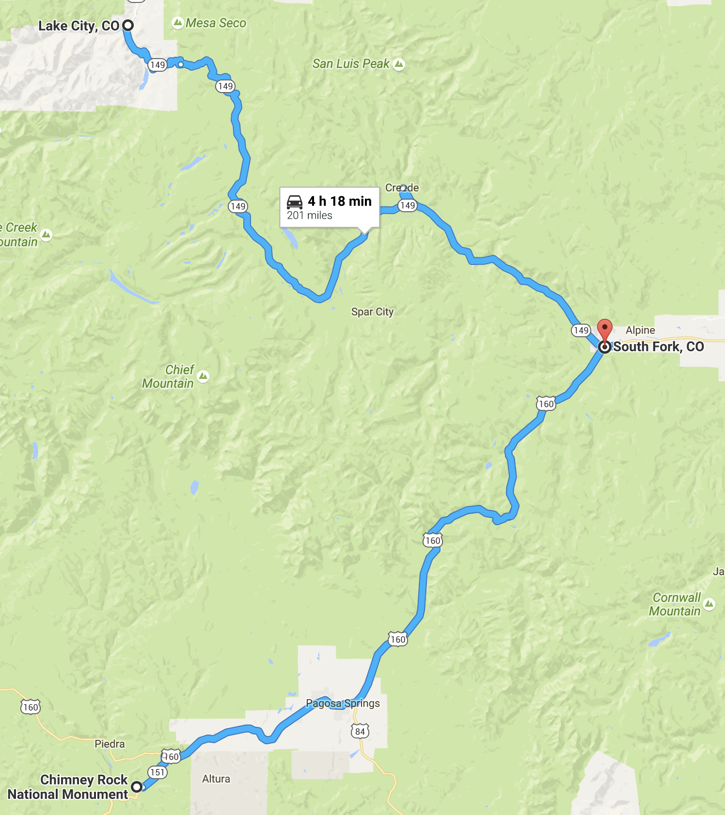
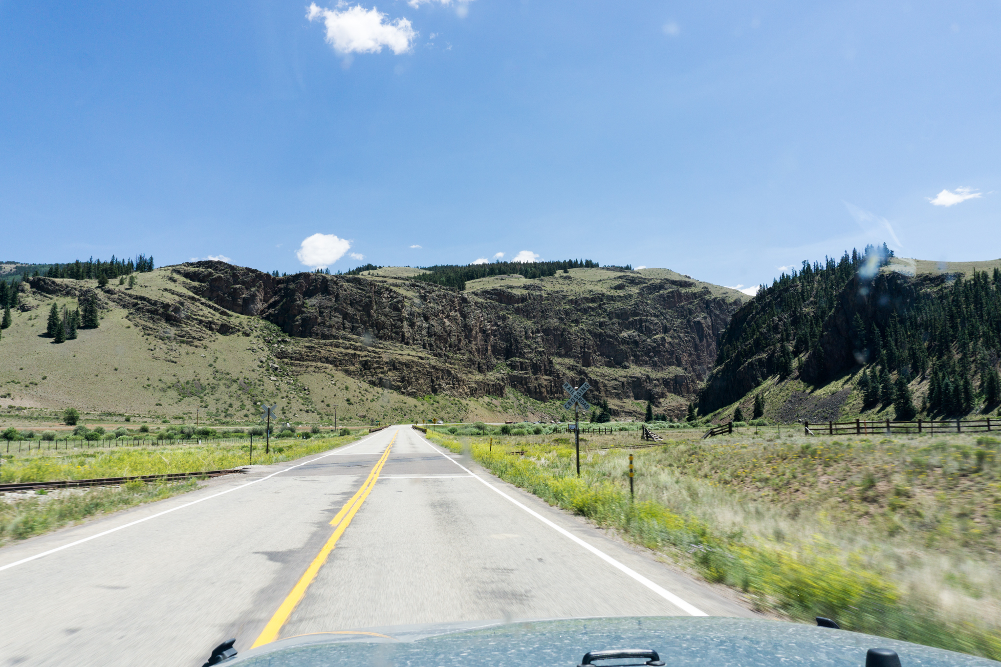
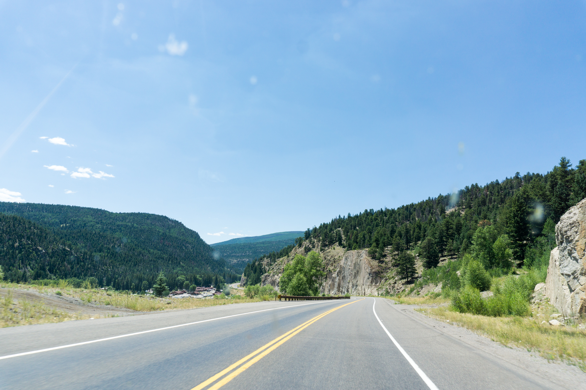
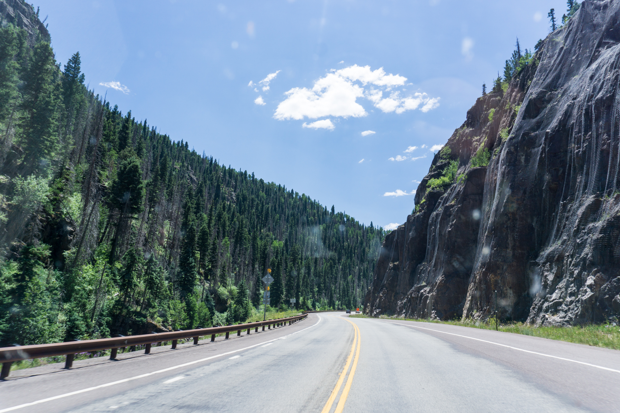
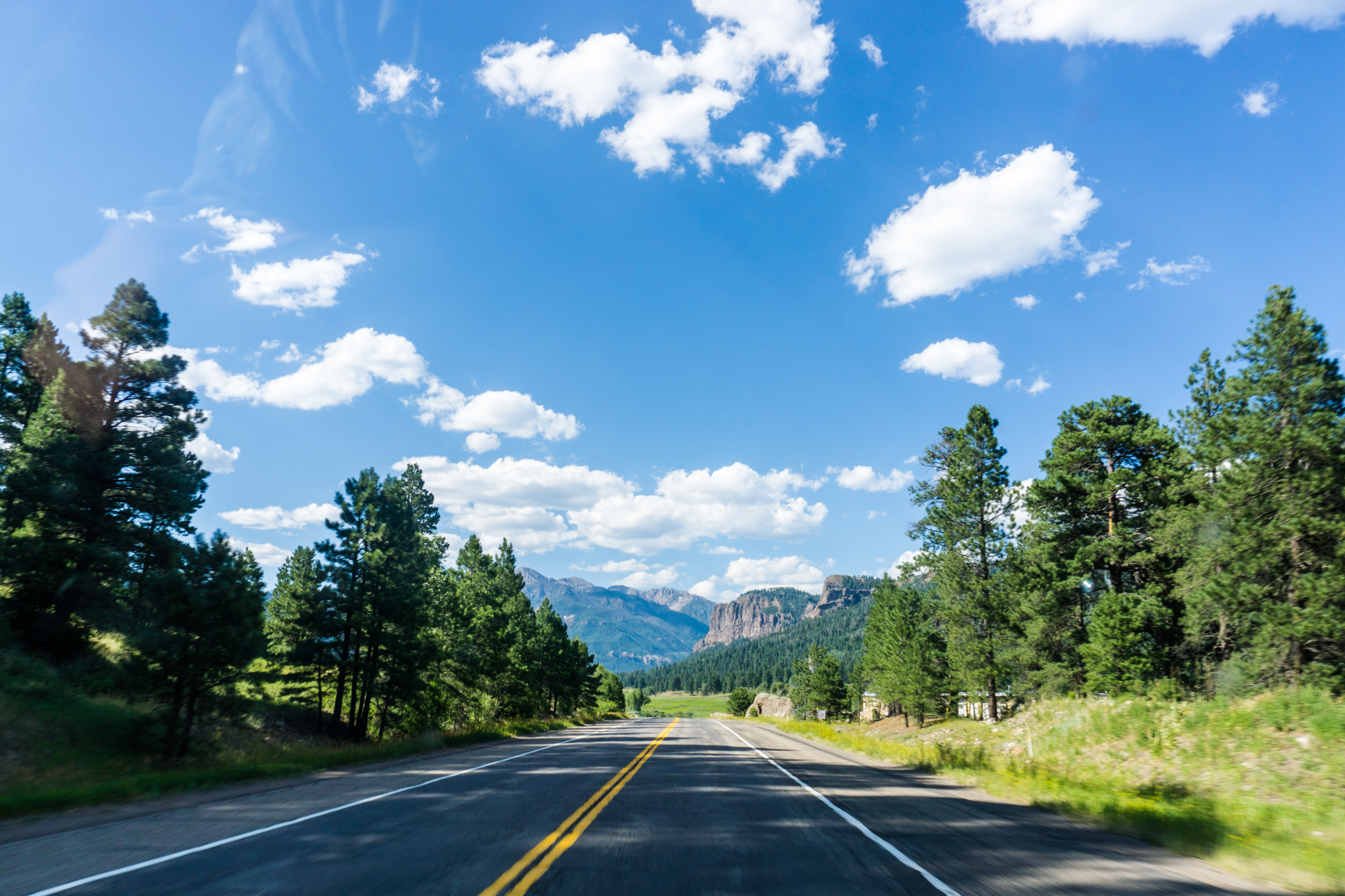
Day 8: Lake City, Colo. to South Fork, Colo. via Chimney Rock National Monument

Screen Shot 2016-08-05 at 1.11.51 PM

Breakfast: one Pop Tart, lunch: Taco Bell in Pagosa Springs, dinner: one small carton of blackberries. Lodging: some hotel in South Fork with a made-up name, despite looking like every other Quality/Comfort/Days/Econo/8/6/etc. Inn ever (though on the cleaner side of that roster). Also, Chimney Rock was not exactly on the way between Lake City and South Fork. But then, I couldn’t find a decent hotel price in Pagosa Springs, my tent was still wet from the night before, and, well, things occurred.

The worst part about that detour was that the good Chimney Rock National Monument was already closed because I arrived SO LATE (2:45 PM). I looked at the bad part instead. Then talked to some older female rangers, who — well, I don’t think they have PhDs in Puebloan Studies. They were nice, though, and at least as far as Pagosa Springs, the drive was pretty.

DSC02681

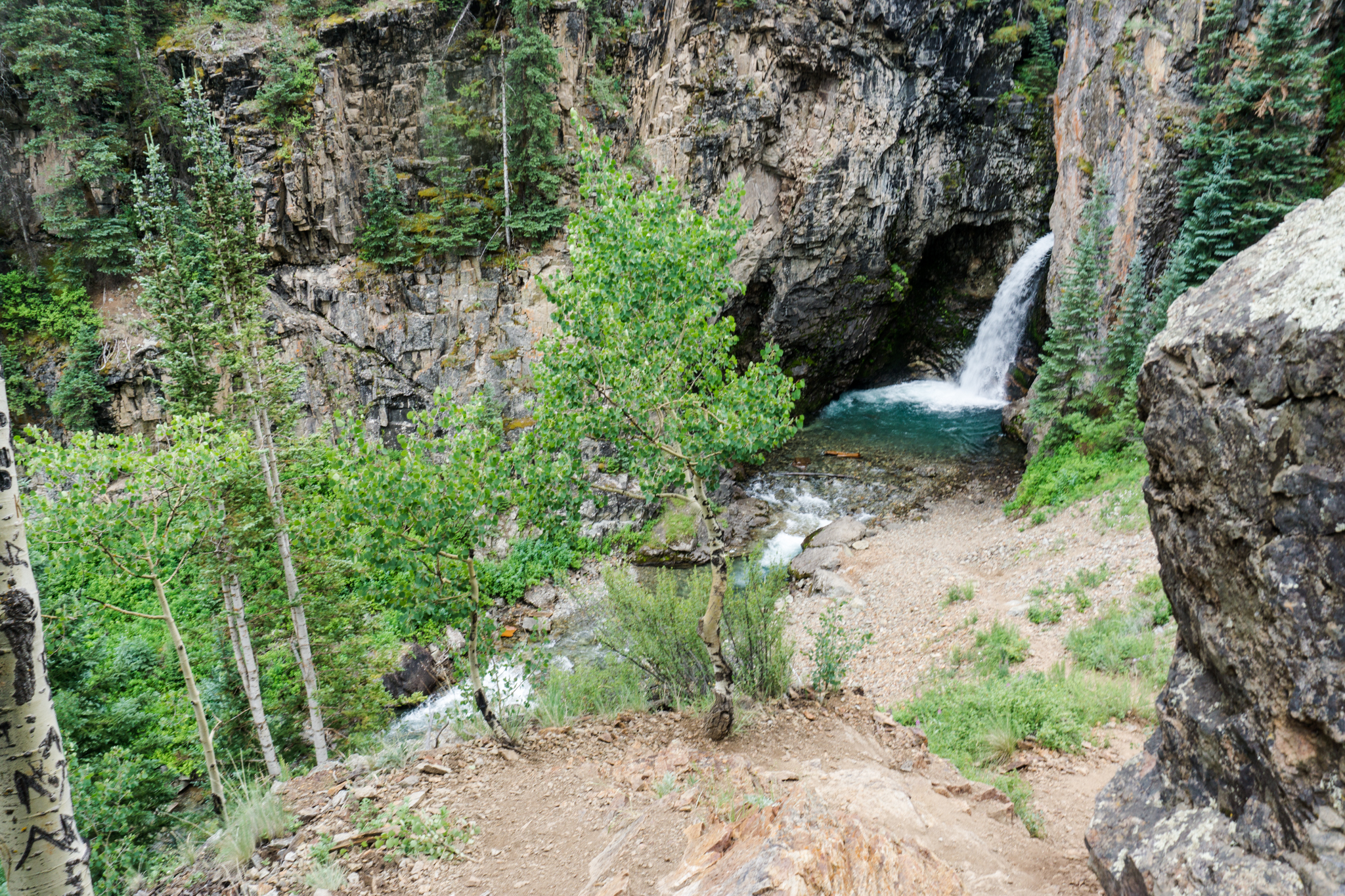
This was a roadside waterfall:
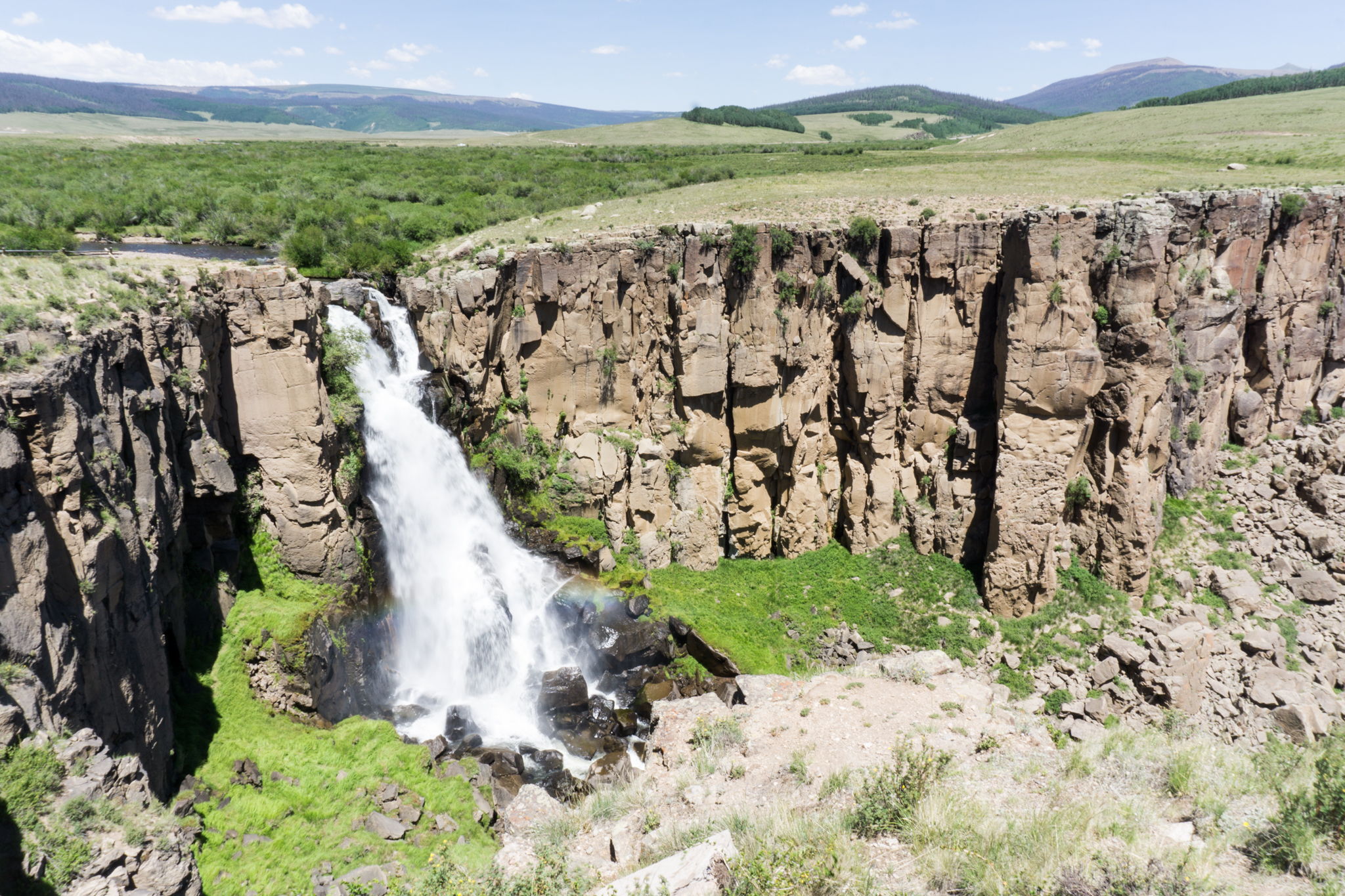
DSC02686

Probably still is.

DSC02697

DSC02699

DSC02701

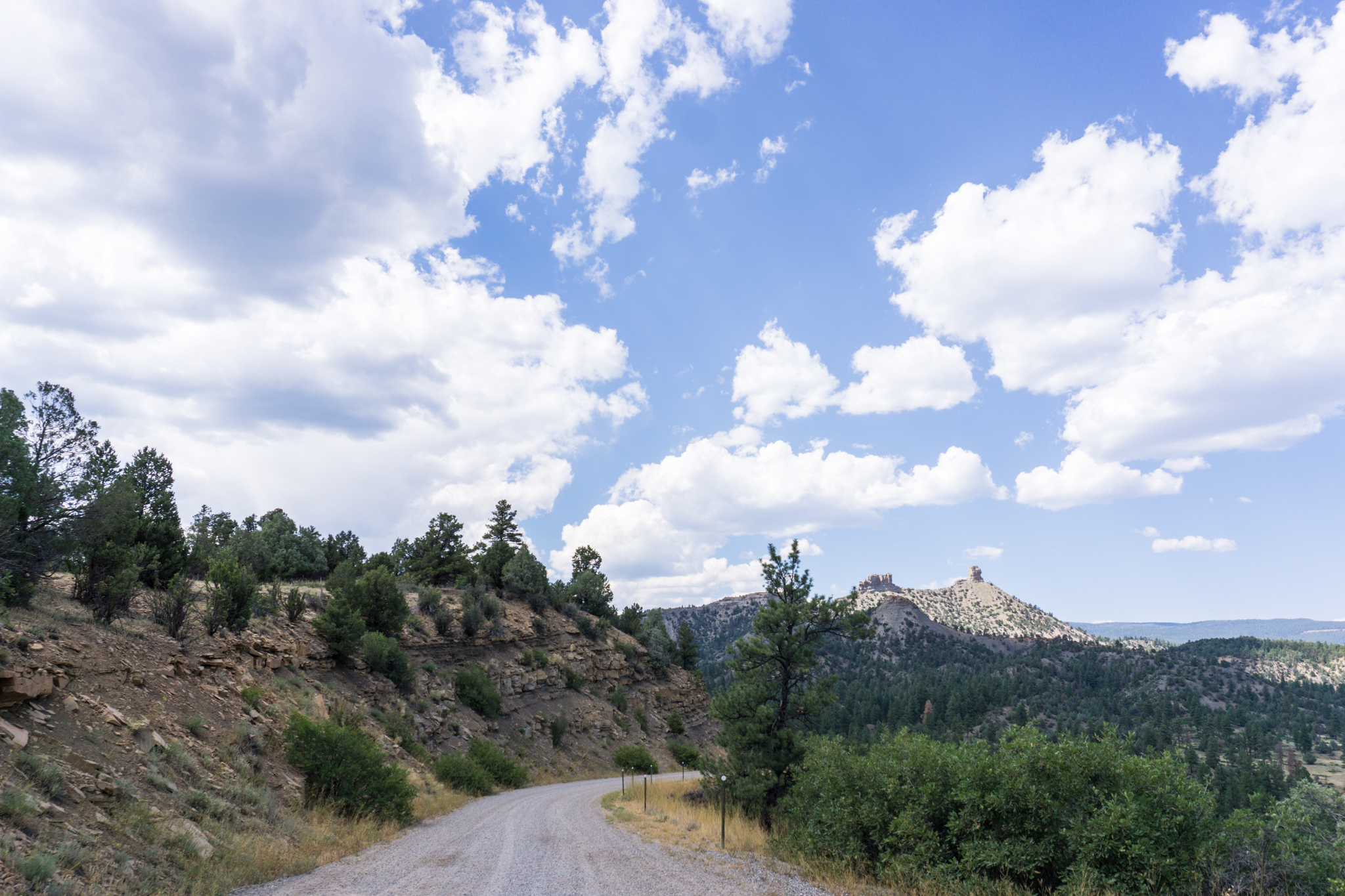
Chimney Rock National Monument, the boring part that I got to see:

IMG_1632

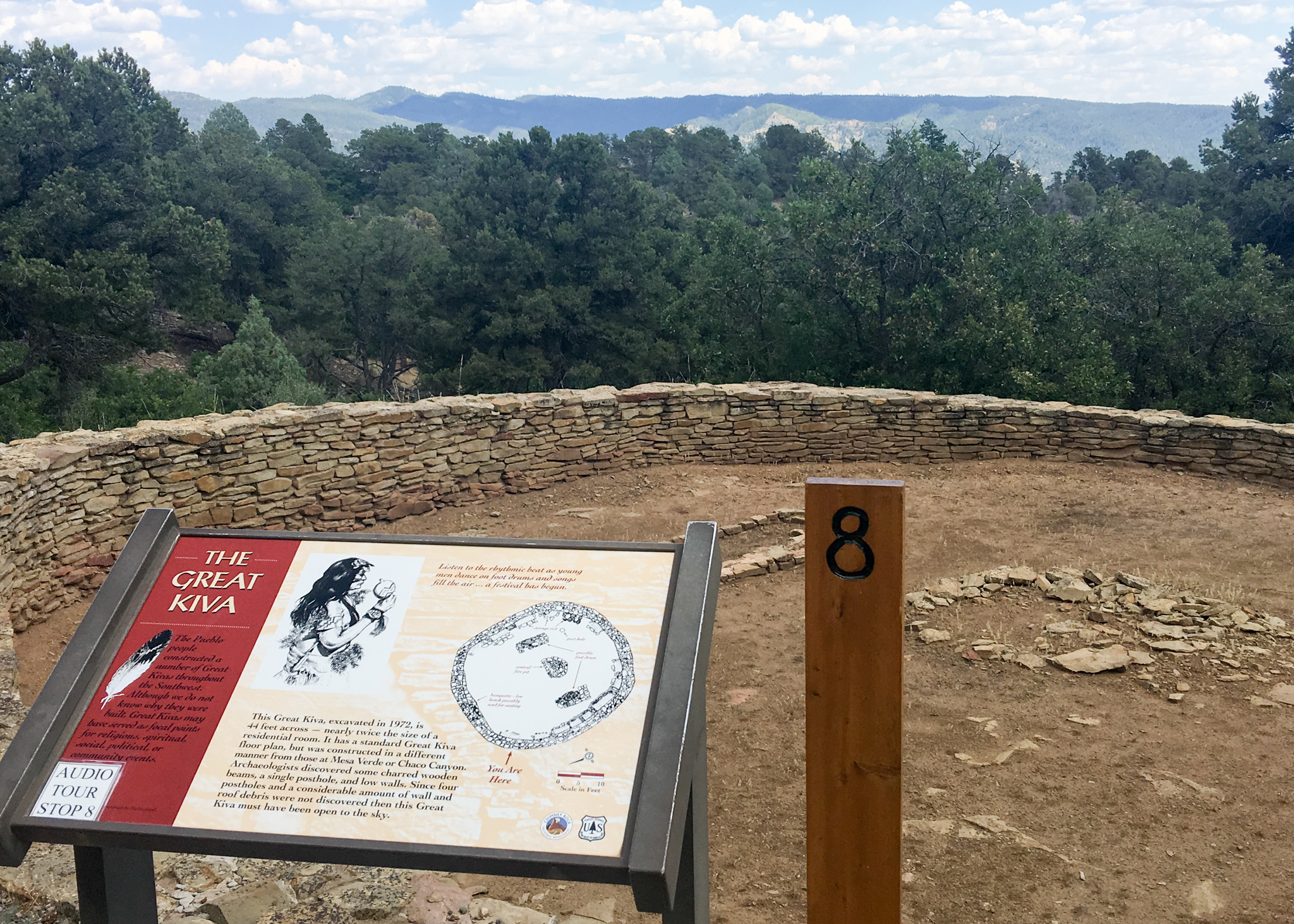
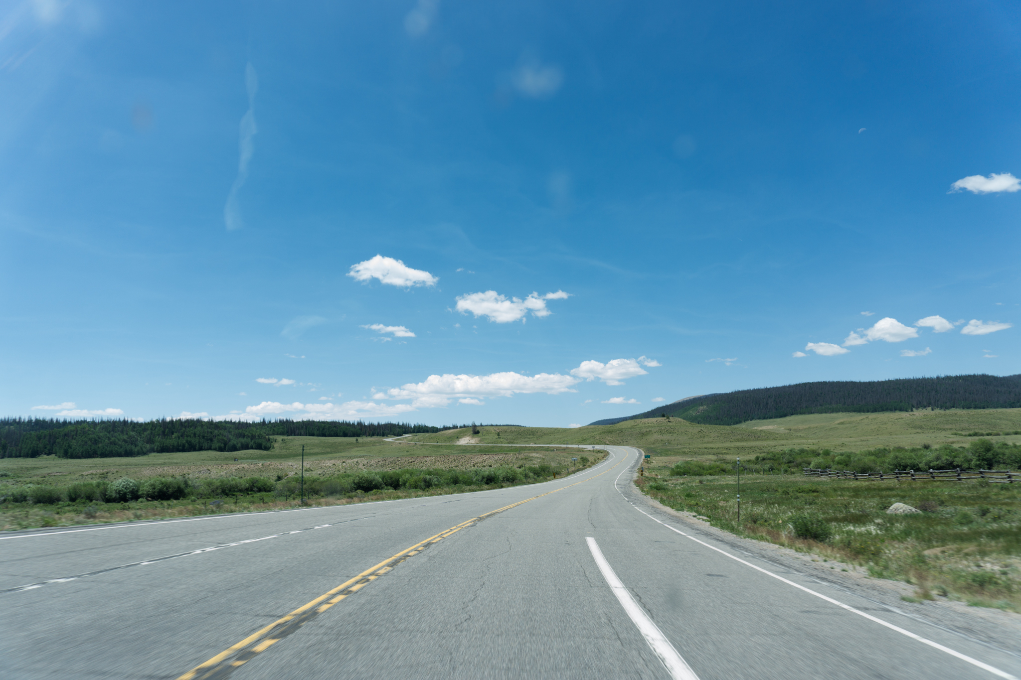
The 8th of 12 station-fulls of wonder! Anyway, driving:

DSC02706

DSC02712


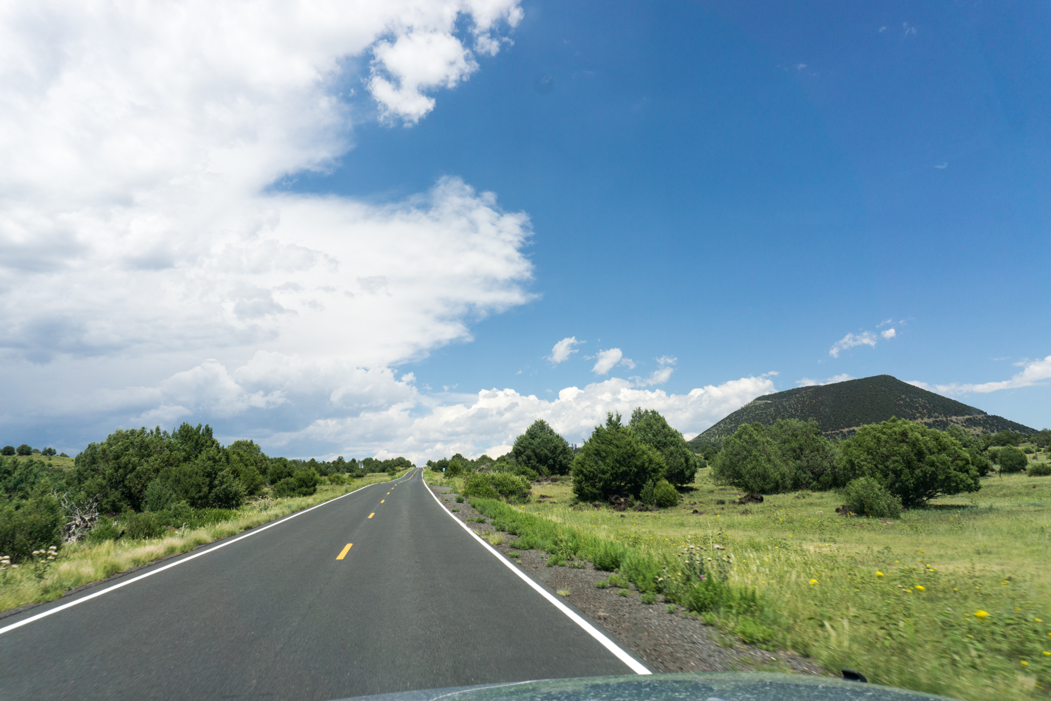
Day 9: Soth Fork, Colo. to Norman, Okla. via Taos, N.M. and Capulin Volcano National Monument

Screen Shot 2016-08-05 at 1.53.56 PM

Breakfast: hotel I think, lunch: blue enchiladas, Christmas style at that diner-like place in Taos, dinner: KFC in maybe Guymon, Okla. Lodging: own bed.

DSC02720

Then, re-entering New Mexico:

DSC02726

DSC02736


DSC02745

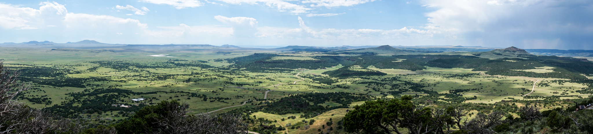
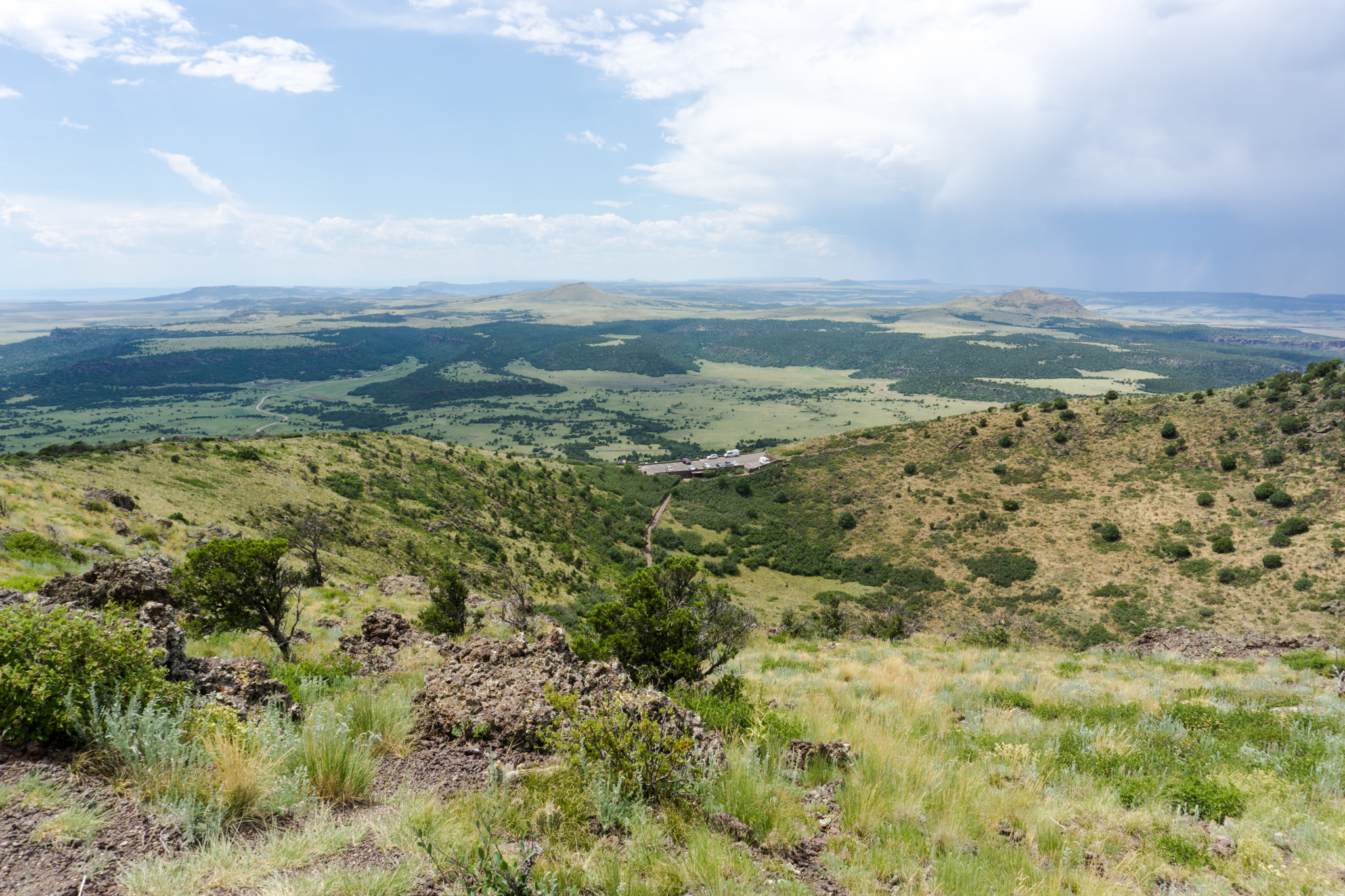
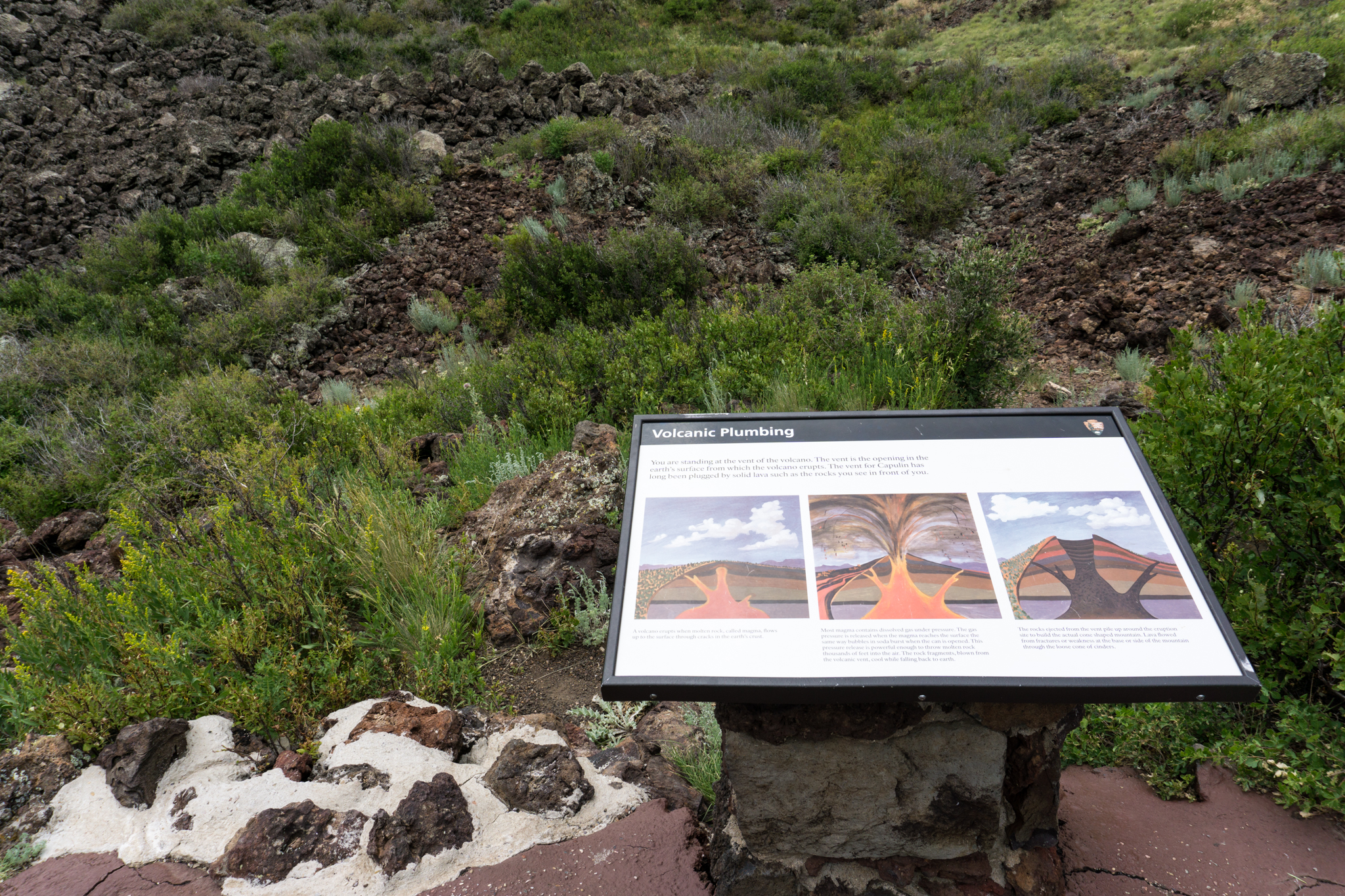
Below: Capulin Volcano!

Capulin Volcano from the Road

DSC02833

DSC02843


DSC02851

DSC02855


DSC02858

DSC02867

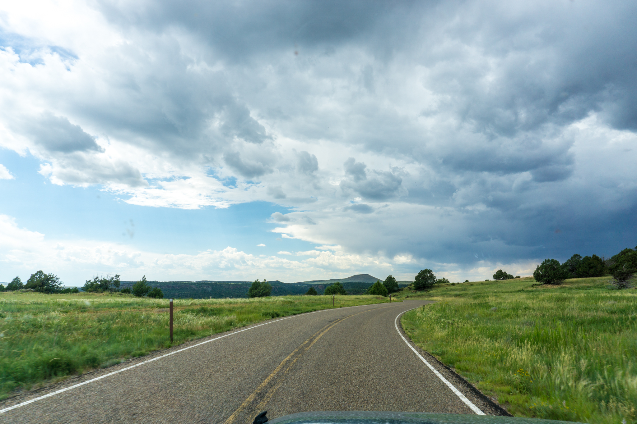
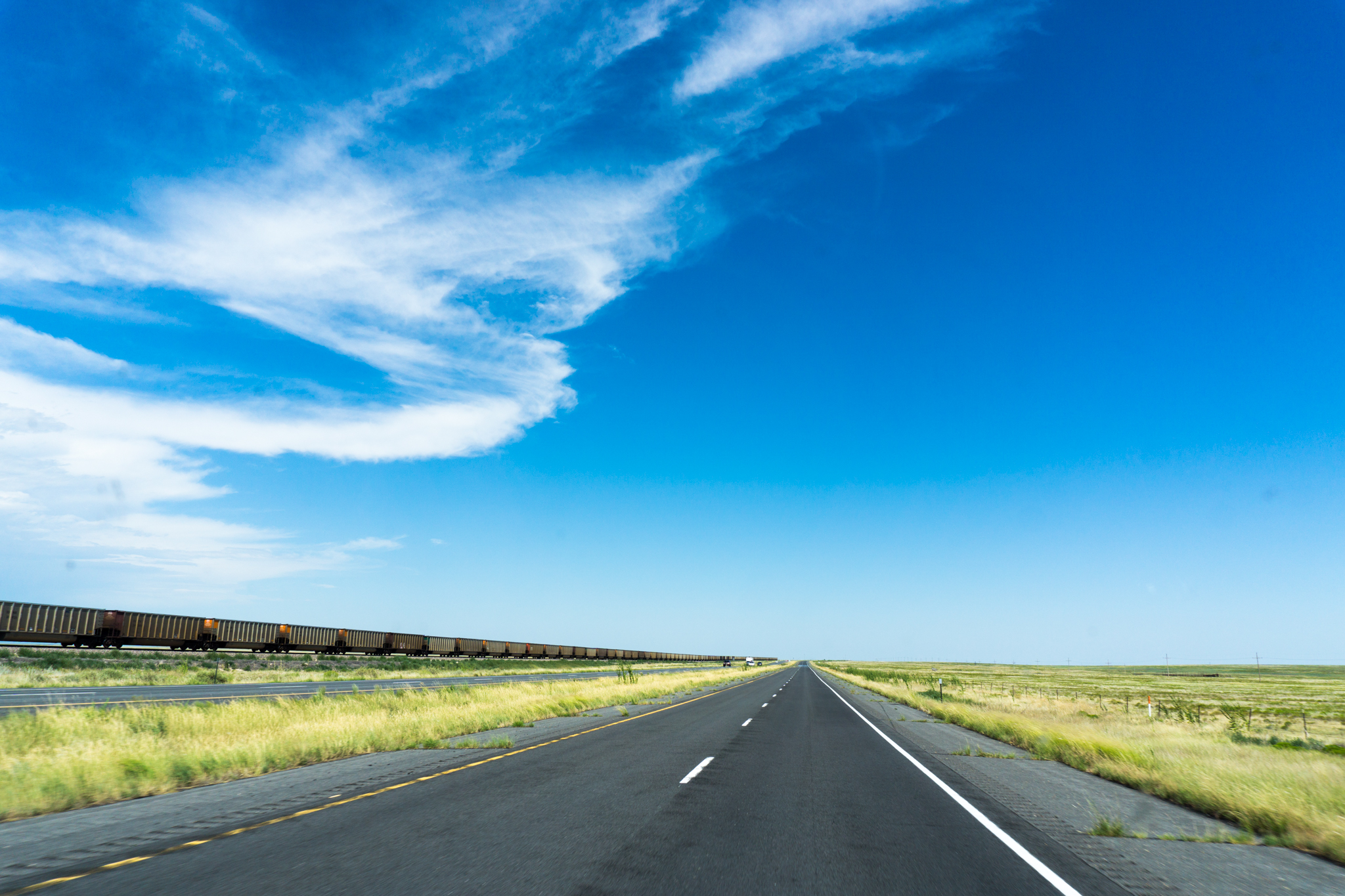
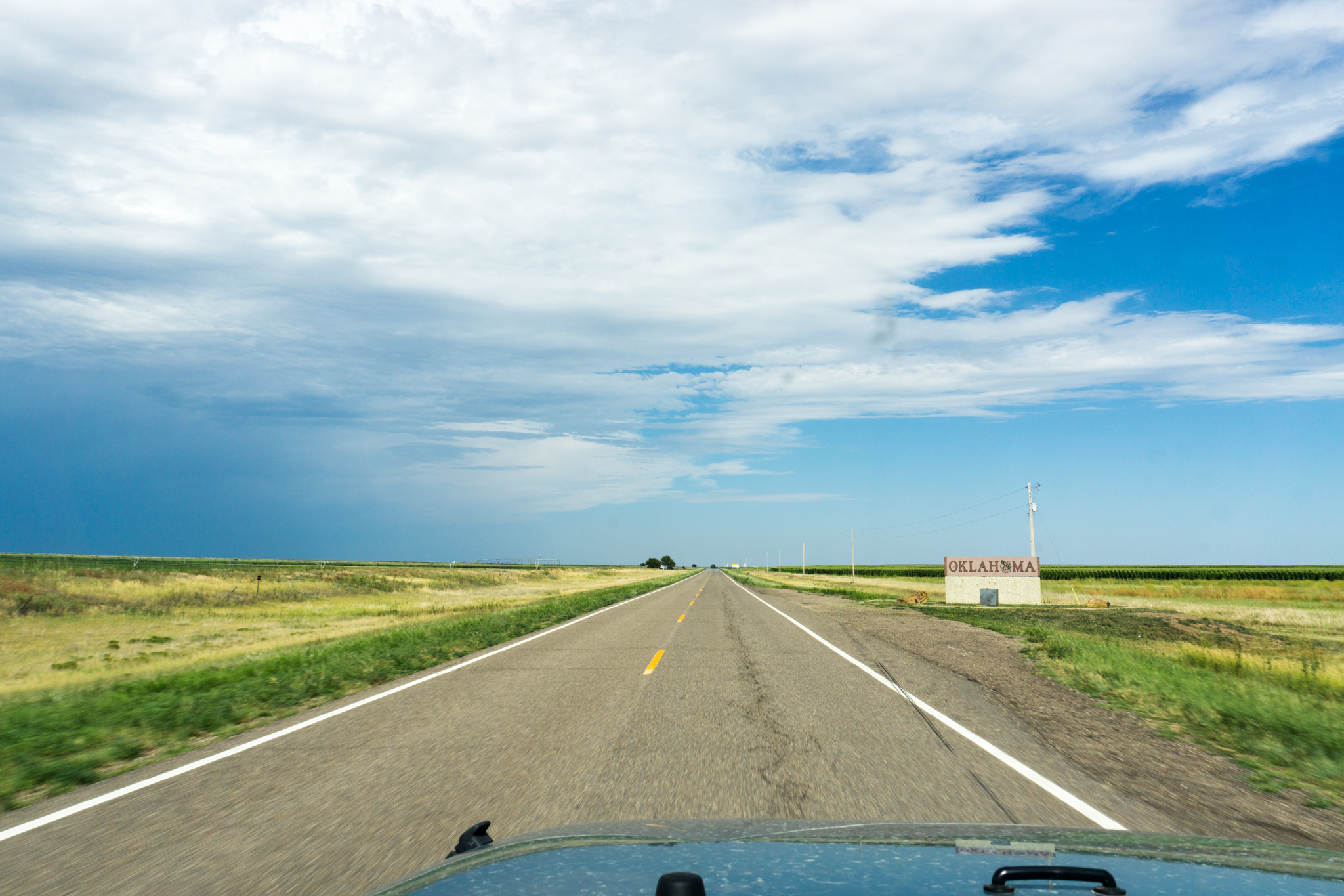
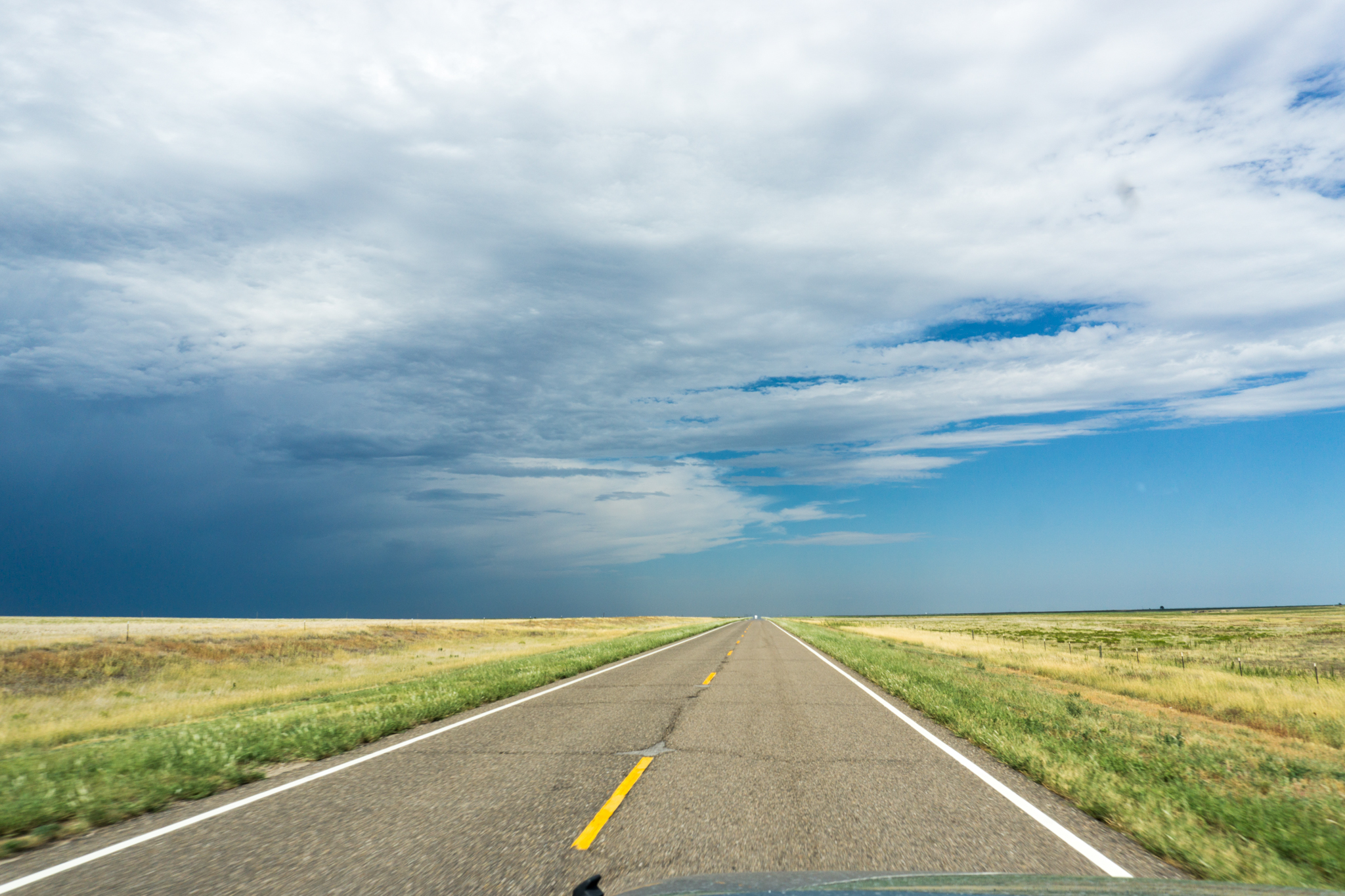
I figure the more photos of prairie I give you, the more endless it seems. There was an Entering Oklahoma back there too somewhere.

And, finally, I leave you with Boise City:

DSC02872

And then another six hours and I was home.

Average speed while photos were taken was probably in the low-50’s. A lot of tuning of the vibrance slider went into these and I think my windshield has a slight blue-green tint to it.

This is probably a better post without the commentary.

bkd

post image

Capulin Volcano: Monumental and in New Mexico

The last day of this summer’s road trip started in South Fork, Colo., where Cheeto bag explosions are an epidemic (inferentially), worked its way down through southern Colorado into New Mexico, then across the Okie panhandle and then on to Norman, my supposed home. Had lunch in Taos (New Mexican food and the hatch chili sauce on the enchiladas was special), then drove through northeastern NM by way of Angel Fire (has to be the prettiest part of NM). I also stopped at a KFC somewhere depressing-yet-forgettable in Oklahoma (Guymon maybe? I should’ve held out for Fort Supply — the name would’ve stuck). The one non-food stop of the day was at Capulin Volcano National Monument, located in NE NM, pretty much where the mountains and eternal prairie meet.

Apparently, this area used to be volcanic. Bunch of mounds across the landscape there that supposedly used to erupt, back in the day (millennia ago).

Capulin Volcano Panorama

(Click on the photo to get the full panorama.)

There’s a person dressed up as a buffalo down at the visitors center for some reason (not pictured). Then you drive up the hill to the edge of the crater. A trail leads you around the crater.

View from the trail.

View from the trail.

Meanwhile, storm clouds gather in the east.

Meanwhile, storm clouds gather in the east.

And, if you’re feeling daring, you can also take a trail into the heart of the crater, where the dreaded vent is.

The vent area is unprepossessing.

The vent area is unprepossessing.

In short, then, a nice place to get out the car and stretch your legs. The visuals of the volcano itself are actually more striking from the car.

DSC02764

Or, for those of you with functioning rocket cars, the aerials are even better. Do a Google search maybe.

Capulin Volcano, everybody, Capulin Volcano! Thank you, good night.

bkd

post image

Alpine Loop and Animas Forks: An Off-Road (Sort Of) Adventure

I was getting my hair cut one day a few weeks back at the ol’ University Barber Shop (I’d include a link, but I don’t think they have a webpage) and mentioned I’d just bought a Jeep Wrangler and it turned out one of the other barbers in the shop was a real off-road enthusiast who was planning, this summer, to do some extensive off-road touring in Colorado. Anyway, I thought that sounded like something I to try at least once. Not the extensive part, just the part where you follow 4-by trails through Colorado.

So I got this book about Colorado 4×4 trails and it talked about this one trail that was rated Moderate and known as the Alpine Loop.

I’m not building tension very well. At any rate, it’s a loop trail that, the way I did it, started at Lake City, Colo., then followed the road over Engineer Pass to the Animas Forks ghost town, then followed the road back over Cinnamon Pass to return to Lake City. Moderate difficulty! Anyway.

It starts out somewhat less than moderate.

It starts out somewhat easier than moderate.

In fact, you could take your Toyota Yaris and cover *most* of this same route. You’d probably have to stop, though, where the signs say “4×4 only beyond this point” — it gets a little steep, the rocks stick up pretty far, and you probably want high clearance and low gear 4wd. Which means you can’t easily drive your Yaris to Animas Forks via this route. Sorry. Do you even own a Yaris? Okay.

One of the cool features of the 4×4 roads in Colorado is they tend to take you through (abandoned) mining operations and ghost towns. This route had some of both.

Abandoned mining operation.

Abandoned mining operation.

As well as some pretty decent alpine scenery that you can get a look at without leaving the comfort of your car and its stereo pumping out Mötley Crüe songs sourced from your iPhone. Which is huge.

Some fork (Lake Fork?) of the Gunnison River.

Some fork (Lake Fork?) of the Gunnison River.

Upstream waterfall.

Upstream waterfall.

As you go further along the route, the road gradually gets steeper, narrower, and rockier, and the drop-offs more severe.

Plus you get above the timberline.

Plus you get above the timberline.

DSC02566

The actual top of the pass is a pretty, barren, alpine hellscape. In a good way. Not pictured are the tighter turns and larger rocks. Sorry. Was navigating over them at the time, so didn’t take a lot of photos. Regardless, these were at or near the top of Engineer Pass (elev. 12,800′):

DSC02570DSC02574DSC02578

DSC02589

From there, it’s a short, steep-ish descent down into Animas Forks, which was a functioning mining town with a post office clear into the 1920s (although the population was never more than a few hundred people). Seems like it would’ve been cold in the winter. DSC02598

One of many hairpins.

One of many hairpins.

Welcome to the 'Forks.

Welcome to the ‘Forks, elev. 11,160.

The roads in the area (e.g., the Alpine Loop Route) were originally built to support mining operations (and towns) like this. This is probably as good a time as any to note that, on this drive, you’re not exactly alone on the road. There are areas where you, yes, wait for traffic. Many times you have to stop where there’s a turn-out so someone coming up the hill in the other direction can get by. There are a (literal!) ton of Jeep Wranglers on the road, but probably even more ATVs. I’d go with: 40% ATVs, 30% Wranglers, 20% Dirt Bikes, 10% Other SUVs/Trucks. When I was at Animas Forks, there were probably 10-15 other vehicles there at the same time (you can see eight of them in that last photo if you click through to the full-size view). I also drove past some sort of off-road cop car near Animas Forks. Apparently that’s a thing.

So the ghost town itself is wide open and you’re welcome to walk through its houses and play on its swingsets to your heart’s content. There’s some graffiti and any vandalism is too much, but, still, the place doesn’t look or feel like it’s been trashed. OTOH, it would be cool if Fallout 5 were set here*.

View of one house from a different house!

View of one house from a different house!

Probably cold in the winter, but scenic.

From there, I completed the loop by taking the route back over Cinnamon Pass, a name which seems like it would fit together on a map with Fairy Village and Gumdrop Lane. At any rate, while the first half-mile or so out of Animas Forks is probably the steepest, rockiest, narrowest, and deadly drop-offest of the entire loop, things settle down pretty quickly almost immediately thereafter. Engineer is a little more steadily steep and rocky on both sides of the pass. If I hadn’t mentioned it, you would’ve wondered.

So steep, so rocky.

So steep, so rocky.

DSC02644

Toward Cinnamon Pass (elev. 12,640′).

DSC02654

A tight one.

A tight one.

Cinnamon Pass

So, all that having been presented,:

  1. Total distance driven was around 50 miles. Took just a little over six hours. The going’s a bit slow.
  2. The drive was pretty throughout.
  3. Even as a complete neophyte, the four-wheeling here was unchallenging. OTOH, it was engaging enough and a fun way to see a lot of new terrain.
  4. I understand what 4-Lo does now.

bkd

* And if Bethesda formally apologized for Fallout 4.

post image

The Black Canyon of the Gunnison Is Really More of a Dark Russet Color

One of the primary goals of this summer’s road trip was knocking off a couple of theretofore unvisited national parks. Black Canyon of the Gunnison: knocked off (now). It’s one of the newer national parks and, common with other newer national parks, it’s not quite Yosemite or Yellowstone. It’s sort of like a much smaller, darker colored Grand Canyon to the bottom of which you cannot readily hike. I mean, you can do it, but you’re supposed to be rock climbing-capable. Anyway. It’s one of those parks, much like Grand Canyon or Bryce, where mostly all you’re doing is driving around the one park road and stopping at pull-outs to verify that, yes, there’s still a canyon down there. But smaller and less dramatic.

Here are pictures.


DSC02460

IMG_1593

One of the two photos was taken at a pull-out called “Pictured Rock”. See if you can figure out which one!

It’s a pretty canyon and based on what some ranger said, the river is a technical one to have to navigate. They also have a “nature walk” there that’s like a 3-mile out-and-back. I went on it and, along the way, took this photo.

Black Canyon of the Gunnison Nature Hike

The photo is more interesting than the hike.

It was one of those nature walks where there’s a pamphlet that tells you what’s so awesome about everything. Except that on this one “everything” was mostly just junipers and pinyon pines. I mean, sure, awesome, but I shouldn’t have to walk around for an hour in 95-degree heat just so you can tell me about it.

Anyway, this is probably a national park best visited in the style of Clark Griswold. A couple good head-bobs and you pretty much have the gist of it.

bkd

post image

Hiking the Narrows II: The Wrath of Zion

Overnight version of the Virgin River Narrows, undertaken July 23-24, 2016. The weather was warm. River flow was somewhere in the 40s, whatever that means. Ranger said there were no expected thunderstorms but that that could change at any second, and probably would, especially if I didn’t give him the exact license plate number of my brother’s truck*. Ranger was kind of, I dunno, flighty though, so <shrug>. We verified the weather forecast before setting out. And we’re sure glad we did! Although it didn’t really change anything; it’s good to have a good process.

Anyway, the weather was warm and dry for the two days of the trip. We eventually would stop at Campsite #5, which I had reserved back in May, somehow 30 minutes before the reservation system was supposed to be available. Let that be a lesson to you.

Fine. Photos, then some notes I guess.

Five intrepid, leaning adventures, having accepted the risk of instantaneous death by river. (I was also in the vicinity.)

Five intrepid, leaning adventures, having accepted the high probability of instantaneous death by narrowness. (I was also in the vicinity.)

The first part of the trail isn't actually all that narrow.

The first part of the trail isn’t actually all that narrow.

After an hour or so. Still not that narrow, but narrowing.

After an hour or so. Still not that narrow, but narrowing.

Ever narrowing. Kind of like that ride they used to have at Disneyland (which was apparently called Adventure Thru Inner Space Presented by Monsanto). The one where you got shrunk to atom-size.

Ever narrowing. Kind of like that ride they used to have at Disneyland (which was apparently called Adventure Thru Inner Space Presented by Monsanto). The one where you got shrunk to atom-size.

Father and daughter, contemplating the value of eventual tight spaces.

Father and daughter, contemplating the value of eventual tight spaces.

We took the one more traveled by -- since our only other options were scaling rock walls or going in reverse.

We took the one more traveled by — since our only other options were scaling rock walls or going in reverse.

My brother's wardrobe malfunction.

My brother’s wardrobe malfunction.

Narrower.

Narrower.

Sometimes, the narrowness could only be addressed through close-proximity hiking.

Sometimes, the narrowness could only be addressed through close-proximity hiking.

Narrowness, extended upward. How high you think that is? I dunno, 500 feet? Looks like more. Fine, what number you want, 1,000? 2,000? Anyway.

Narrowness, extended upward. How high you think that is? I dunno, 500 feet? Looks like more. Fine, what number you want, 1,000? 2,000? Anyway.

Even the trees: narrow.

Even the trees: narrow.

We'll just tie up a rope and rappel down the (narrow) waterfall. No, no, that's not a trail over there that goes around it. Don't be foolish, I've been here before, you haven't.

We’ll just tie up a rope and rappel down the (narrow) waterfall. No, no, that’s not a trail over there that goes around it. Don’t be foolish, I’ve been here before, you haven’t.

Helpfully, Craig indicates the direction of the sky.

Helpfully, Craig indicates the direction of the sky.

Narrow, but also kind of wavy in spots.

Narrow, but also kind of wavy in spots.

Dusk falls at Campsite 5.

Dusk falls at Campsite 5.

Next morning, Garry and Craig make a narrow escape. But not *that* narrow.

Next morning, Garry and Craig make a narrow escape. But not *that* narrow.

Knee-deep in narrow. Also, it turns out that backpack waist belts are not slimming.

Knee-deep in narrow.

(Slight) evidence that I also was present.

(Slight) evidence that I also was present.

Further evidence of narrowness.

Further evidence of narrowness.

It gets wider.

More straight than.

But then narrower again.

Less straight, narrower again.

'Nother picture. Same hike. Still fairly narrow (the canyon I mean).

‘Nother picture. Same hike. Still fairly narrow (the canyon I mean).

Narrower still? (Trust me, I'm getting tired of putting photos into this post as well as coming up with not-even-pun captions.)

Narrower still? (Trust me, I’m getting tired of putting photos into this post as well as coming up with not-even-pun captions.)

Point being, I guess, that the second day is, on average, narrower than the first. And the further you go, the more impressive+imposing the whole thing gets.

Point being, I guess, that the second day is, on average, narrower than the first. And the further you go, the more impressive+imposing the whole thing gets.

I dunno, narrow-ish I guess?

And then sometimes the water is a nice color.

And then, the river choked with day-hiking tourist hordes from below, you stop taking pictures -- no matter how narrow the scenery -- race to the bottom, take the bus back to the parking lot, then drive back to the trailhead so your brother can pick up his truck and, while you're waiting for him to use the bathroom, you take a picture of your own car because, I dunno, you can I guess.

And then, the river choked with day-hiking tourist hordes from below, you stop taking pictures — no matter how narrow the scenery — race to the bottom, take the bus back to the parking lot, then drive back to the trailhead so your brother can pick up his truck and, while you’re waiting for him to use the bathroom, you take a picture of your own car because, I dunno, you can I guess, plus you’ve taken over 300 photos in the last 36 hours so that by this point it just seems like it’s what you do.

See, ‘cuz the whole thing is called “The Narrows” and… eh, you wouldn’t get it. Had to be there probably.

Some other thoughts (numbered, because this WordPress theme handles bullets badly):

  1. Stupid captions aside, this is still probably my favorite overnighter on earth.
  2. Wish the other invitees would have made it as well, but ended up with a great company.
  3. Last time we did this (2005), the water level was a little higher. This time seemed a little more easy-going as a result.
  4. Plus, last time none of us had ever done it before, so there was some uncertainty about whether certain death lay around each narrow corner. It didn’t, it doesn’t.
  5. I wouldn’t have minded having an earlier campsite (i.e., number 1–4). #5 was fine, but you’re pretty exposed in some pretty hot weather for the first couple hours of the hike, so a shorter Day 1 wouldn’t be the worst thing. Plus, the mid-way point is probably somewhere around campsite #1, Day 2 seemed a little too easy, and it felt like we ran into the tourist hordes way too soon.
  6. And I don’t understand driving all the way from LA to Zion National Park and walking four miles upstream just so you can throw rocks into a river.
  7. Zion NP is *packed* on a July Sunday. Next time: May or September, midweek, hope for the best.
  8. And maybe try the shuttle.
  9. I’ve gotten better at lightweight backpacking, although I’m questioning whether the TarpTent Notch is really overall preferable to my old Lightyear.
  10. Osprey makes faulty bite valves. Stupid Osprey.
  11. Mounds bars are a lot better solid than semi-melted.

I think that’s most of the important things.

bkd

* I gave him the correct license plate number for the truck, which was still on the road a couple hundred miles away, then decided to give him the wrong one for my Jeep (located 50 feet away), cuz what the heck do you even need license plate numbers for dude? Anyway.

post image

My Morning at Petrified Forest National Park

It’s worth half a day. Heading out to the UT, I figured I ought to get this park checked off my list. It’s sort of on the way if you want it to be (probably added a couple hours to my drive up to Zion NP). The park includes more than just a petrified forest (which, contrary to the image conjured by the name, isn’t filled with wall-to-wall upright trees that block out the sun), but also includes some petroglyphs (!) and some deserty area.

First you get the desert. No, wait, first you get the sign. This happens just after you get off I-40.

The sign is reassuring that you got off on the correct middle-of-nowhere exit.

The sign reassures that you got off on the correct middle-of-nowhere exit.

Okay, then you technically get the visitors center and the main gate, then you get the desert. Which looks a lot like a desert, colorful version.

petrified forest painted desert

This is a panorama.

You can go hike around to your heart’s content starting at some lodge they got there. You hike down from the lodge and its hard to ever get it fully out of your vision, so getting lost is something you would kind of have to work toward. Also, the desert actually includes a lot of petrified wood fragments. Anyway, spent about 90 minutes hiking around, trying to find a destination that was suggested on a map at the lodge place. I doubt I found it.

Here are a couple of photos for my trouble.

Hooray for desert!

Hooray for desert!

And yet more thereof.

And yet more thereof.

Oh wait, here’s a third that seems to convey the feeling.

Still desert.

Still desert.

From the desert, The One Drive… Look, so the park is basically one road. It goes about 20 miles. There’s nothing really to do at the park but drive on this one road. Sure, you can park and walk and look at stuff, but, basically, you’re always pretty tied to the road. So, from the desert, The One Drive curls around and crosses the 40. Then you get into a couple of nice petroglyphy areas. Here’s evidence:

DSC02307

There’s also the foundations of a Puebloan village there, but it was kind of hot to be getting excited about ancient foundations.

Once you’ve done petroglyphs, you’ve earned your way to petrified wood. There’s a lot of it. Often times you’ll see an entire log on its side, strangely cut up into sections (supposedly due to the way silica naturally fractures). Some of it’s very pretty and it’s not hard to understand why/how people steal it out of the park. A lot of it really is pocket-sized and it just seems like there’s *so* *much* of it. Anyway, photos:

Stump, log sections.

Stump, log sections.

According to Wikipedia, not done with a chainsaw.

According to Wikipedia, not done with a chainsaw.

How do I rate the park? No one’s ever asked that. Whatever. It’s a nice way to spend half a day if you’re in the area. Probably not a location to try and base a multi-day vacation on. Or to, like, travel across the globe specifically to see.

Using my AIA™ National Park Rating Scale, Petrified Forest rates an 8 (out of 15).

Amazingness: 3/5. The petrified wood is pretty cool and uniquely pretty. The desert kind of pales to some of the redder, rockier variations (e.g., Bryce, Arches, Canyonlands).

Infiniteness: 3/5. There’s a lot of desert there if you’ve never poked your way around one before.

Adventure: 2/5. Not much reason to get more than a half mile away from the one road, although there’s enough desert there that, if you insist, the park can accommodate.

Anyway,

bkd